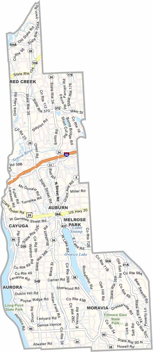
Cayuga County Map, New York

Cayuga County, New York

Cayuga County sits in the middle of New York state and is named after the Cayuga people, one of the Six Nations of the Iroquois Confederacy. The county stretches along the shores of Cayuga Lake, one of the beautiful Finger Lakes.

Historians love this place. Auburn, the county seat, was a hotbed of activity during the Underground Railroad days, and Harriet Tubman spent her later years here. You can visit her home and learn about her incredible life.

It's wine country, with vineyards along the hillsides. The Great Swamp Conservancy is great for birdwatchers and nature lovers. Finally, farmers markets are a big deal in Cayuga County, showcasing the area's agricultural bounty.
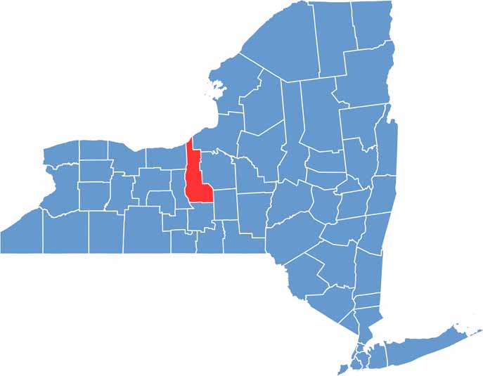

Cayuga County location map of New York
CategoryDetails
County NameCayuga County
County SeatAuburn
EtymologyNamed after the Cayuga people
Cities, Towns, and CommunitiesAuburn, Moravia, Weedsport, Fair Haven, Cato, Union Springs, Port Byron
Interstates and HighwaysU.S. Route 20, New York State Route 31, New York State Route 38, New York State Route 90
FIPS Code36-011
Total Area (Land and Water)864 square miles (692 sq mi land, 172 sq mi water)
Adjacent Counties (and Direction)Oswego County (Northeast), Onondaga County (East), Cortland County (Southeast), Tompkins County (South), Seneca County (West), Wayne County (West)
Time ZoneEastern Time Zone (ET)
StateNew York
Coordinates42.9122° N, 76.5564° W
Major LandmarksCayuga Lake, Harriet Tubman National Historical Park, Fillmore Glen State Park, Seward House Museum
PopulationApproximately 76,000
Scroll to Top