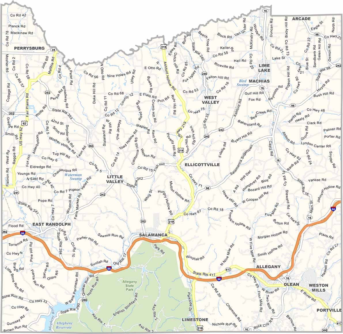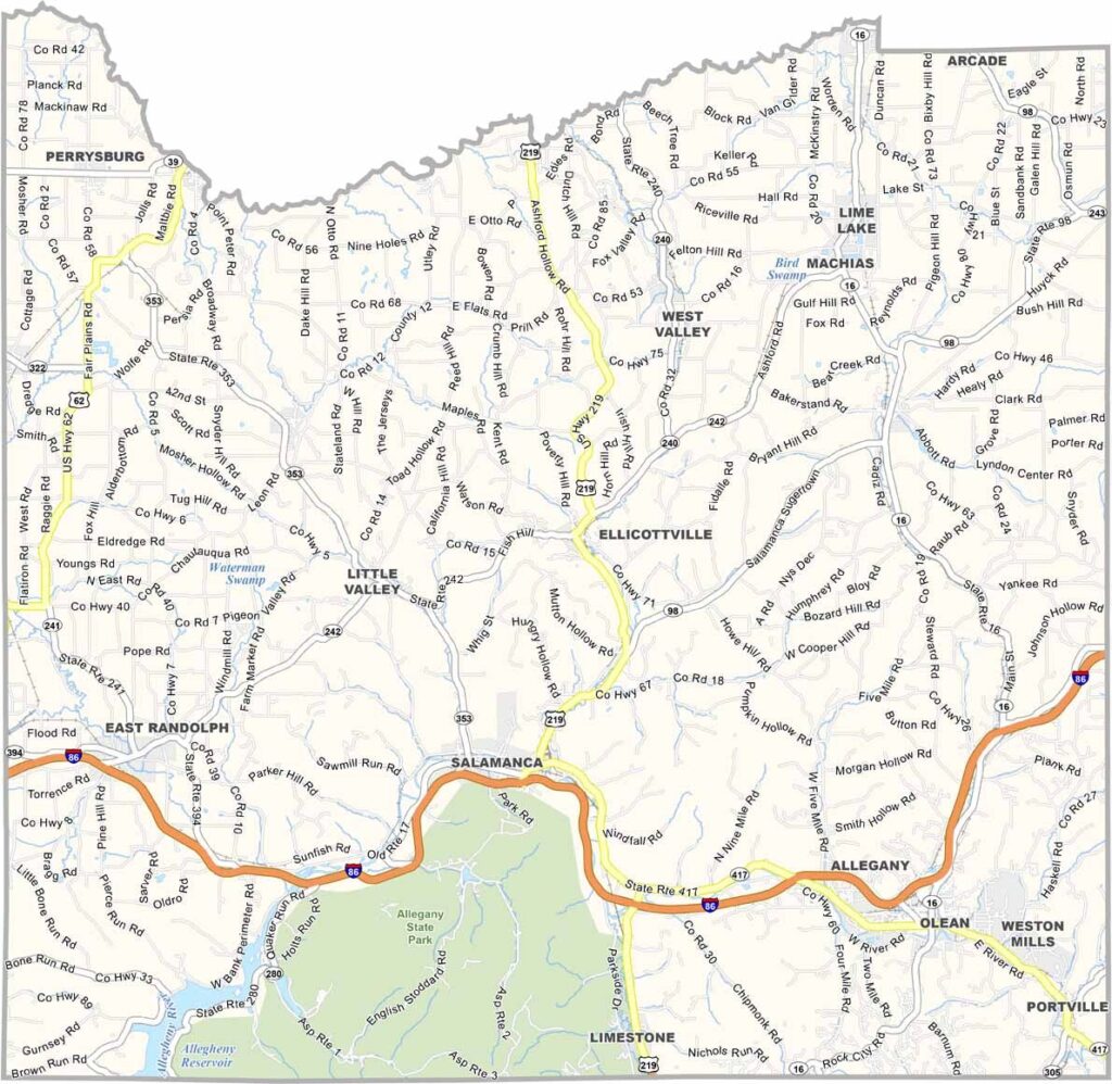
Cattaraugus County Map, New York

Cattaraugus County, New York

Cattaraugus County is a playground for nature lovers in western New York, where the Allegheny Mountains start to show their rugged beauty. Skiers and snowboarders head to Holiday Valley in Ellicottville every winter.

Allegany State Park is massive and perfect for camping, hiking, and wildlife spotting. Cattaraugus Creek is a favorite spot for anglers chasing steelhead trout. Small towns like Olean and Salamanca are nice, and Amish communities have settled in parts of the county.

The Seneca Nation calls part of this county home, preserving its rich culture and traditions. The county's name comes from a Seneca word meaning "bad smelling banks," but don't let that fool you, because it's beautiful here. From maple festivals to rodeos, there's always something happening in Cattaraugus County.
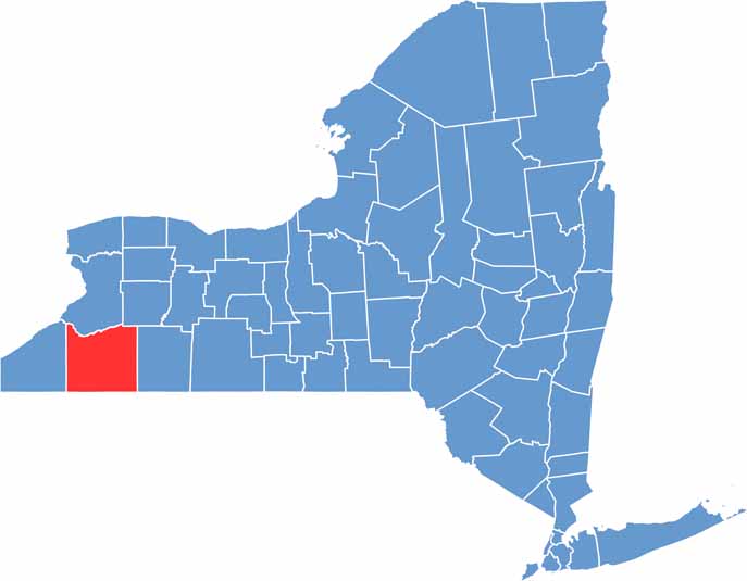

Cattaraugus County location map of New York
CategoryDetails
County NameCattaraugus County
County SeatLittle Valley
EtymologyNamed after the Native American term for “bad smelling banks,” referring to natural gas in the area
Cities, Towns, and CommunitiesOlean, Salamanca, Little Valley, Allegany, Ellicottville, Franklinville
Interstates and HighwaysInterstate 86, U.S. Route 219, New York State Route 16
FIPS Code36-009
Total Area (Land and Water)1,322 square miles (1,310 sq mi land, 12 sq mi water)
Adjacent Counties (and Direction)Erie County (North), Wyoming County (Northeast), Allegany County (East), McKean County, Pennsylvania (Southeast), Warren County, Pennsylvania (Southwest), Chautauqua County (West)
Time ZoneEastern Time Zone (ET)
StateNew York
Coordinates42.2460° N, 78.6758° W
Major LandmarksAllegany State Park, Seneca Allegany Resort & Casino, Griffis Sculpture Park, Holiday Valley Resort
PopulationApproximately 75,000
Scroll to Top