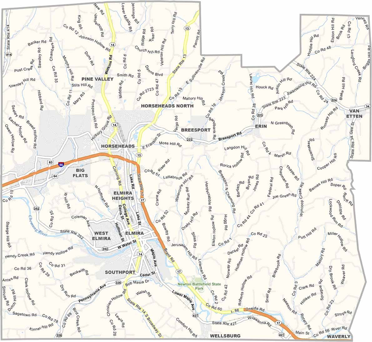
Chemung County Map, New York

Chemung County, New York

Chemung County lies in the Southern Tier of New York, where Mark Twain penned some of his most famous works. Elmira, the county seat, buzzes with history and is known as the "Soaring Capital of America."

The Chemung River snakes through the heart of the county, offering scenic views and recreation opportunities. You can't miss the towering cliffs along the Finger Lakes Trail, and the area played a crucial role in the Underground Railroad.

The Corning Museum of Glass is just a stone's throw away, and locals take pride in their NASCAR connection, with Watkins Glen International nearby. The county also has deep roots in aviation history, including Harris Hill Soaring.
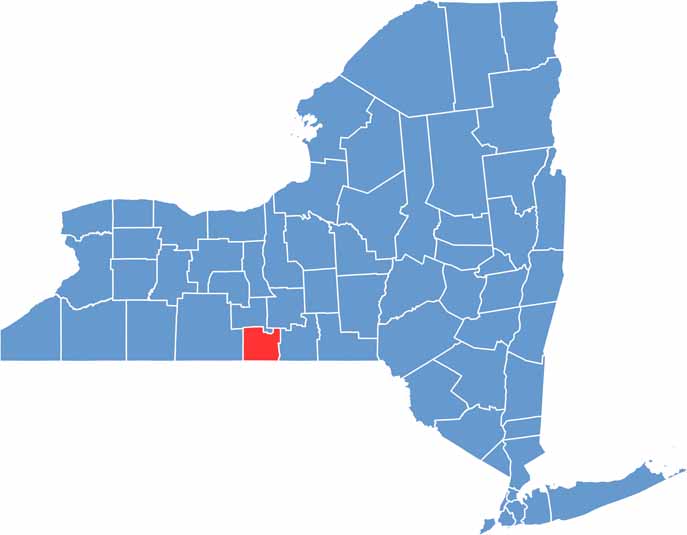

Chemung County location map of New York
CategoryDetails
County NameChemung County
County SeatElmira
EtymologyNamed after a Lenape word meaning “big horn”
Cities, Towns, and CommunitiesElmira, Horseheads, Big Flats, Southport, Chemung, Van Etten
Interstates and HighwaysInterstate 86, U.S. Route 17, New York State Route 13
FIPS Code36-015
Total Area (Land and Water)411 square miles (408 sq mi land, 3 sq mi water)
Adjacent Counties (and Direction)Schuyler County (North), Tompkins County (Northeast), Steuben County (West), Tioga County (East), Tioga County, Pennsylvania (Southwest), Bradford County, Pennsylvania (South)
Time ZoneEastern Time Zone (ET)
StateNew York
Coordinates42.1340° N, 76.8032° W
Major LandmarksMark Twain Study and Quarry Farm, Arnot Art Museum, Harris Hill Soaring, Chemung River
PopulationApproximately 84,000
Scroll to Top