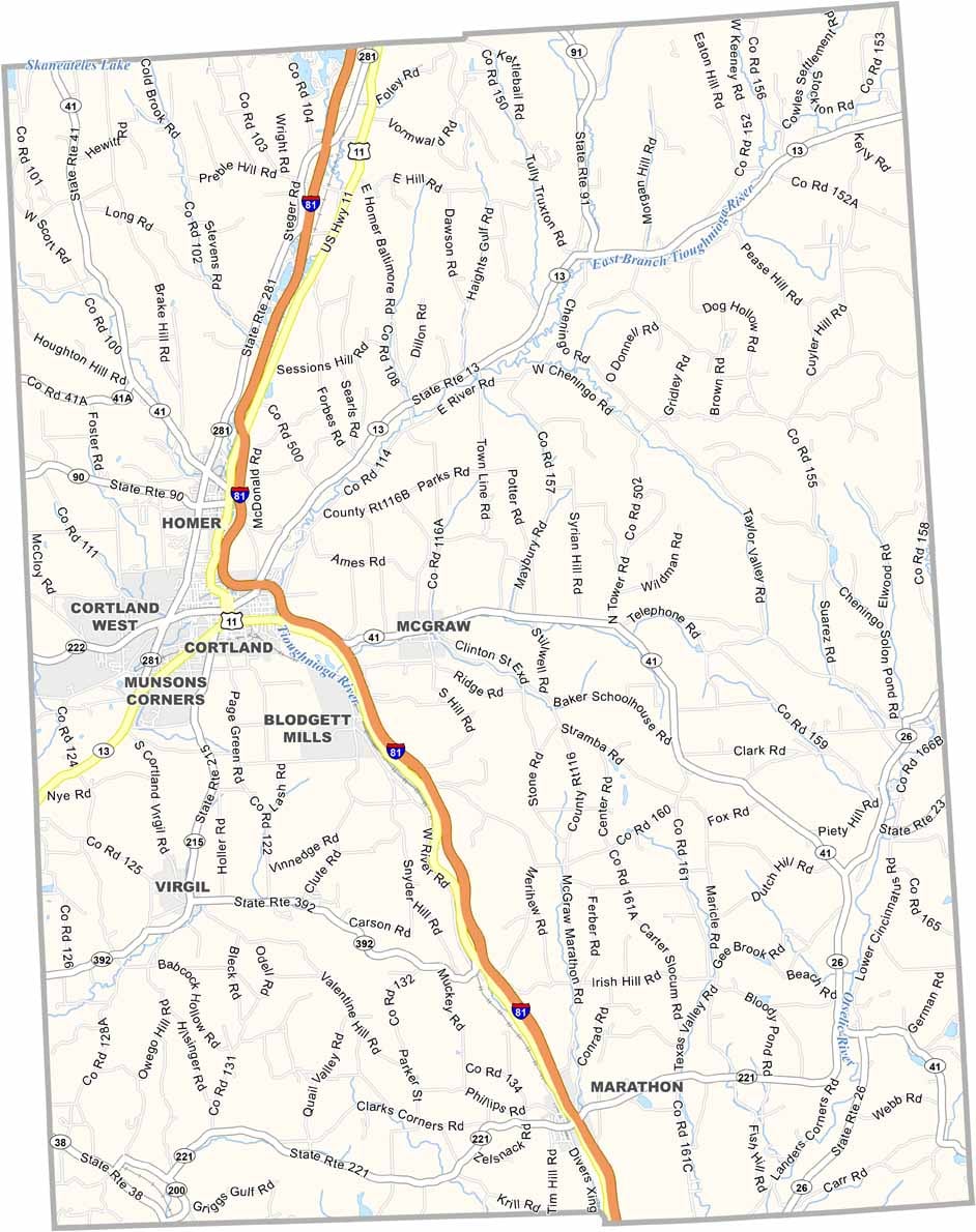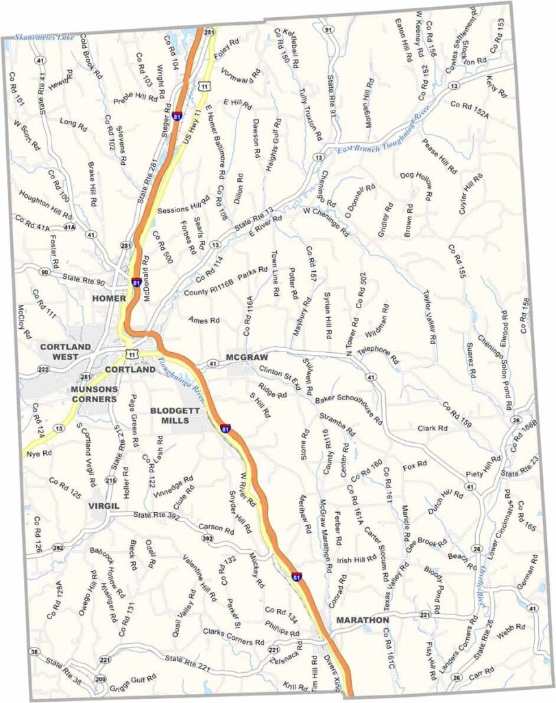
Cortland County Map, New York

Cortland County, New York

Cortland County is located in the heart of New York State. Cortland serves as the county seat, with the Tioughnioga River winding through the area. Its downtown has a charming blend of Victorian architecture and modern shops.

Local dairy farms produce some of the state’s finest cheese, but the county is especially known for its apples. The area is famous for Cortland apples, which were developed at nearby Cornell University. Speaking of education, the county is also home to SUNY Cortland.

The county has a rich history of clockmaking, which you can explore at the Suggett House Museum. Visitors also come for the hiking trails and ski slopes. Greek Peak, the largest ski resort in central New York, is a major attraction, while kayaking and fishing provide plenty of other outdoor activities.
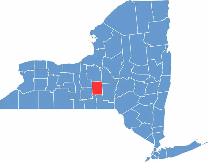

Cortland County location map of New York
CategoryDetails
County NameCortland County
County SeatCortland
EtymologyNamed after Pierre Van Cortlandt, the first Lieutenant Governor of New York
Cities, Towns, and CommunitiesCortland, Homer, Marathon, Cincinnatus, McGraw
Interstates and HighwaysInterstate 81, U.S. Route 11, New York State Route 13
FIPS Code36-023
Total Area (Land and Water)502 square miles (499 sq mi land, 3 sq mi water)
Adjacent Counties (and Direction)Onondaga County (North), Madison County (Northeast), Chenango County (East), Broome County (South), Tompkins County (West), Tioga County (Southwest), Cayuga County (Northwest)
Time ZoneEastern Time Zone (ET)
StateNew York
Coordinates42.5991° N, 76.1805° W
Major LandmarksSUNY Cortland, Greek Peak Mountain Resort, Cortland Repertory Theatre
PopulationApproximately 46,000
Scroll to Top