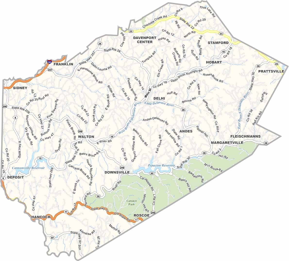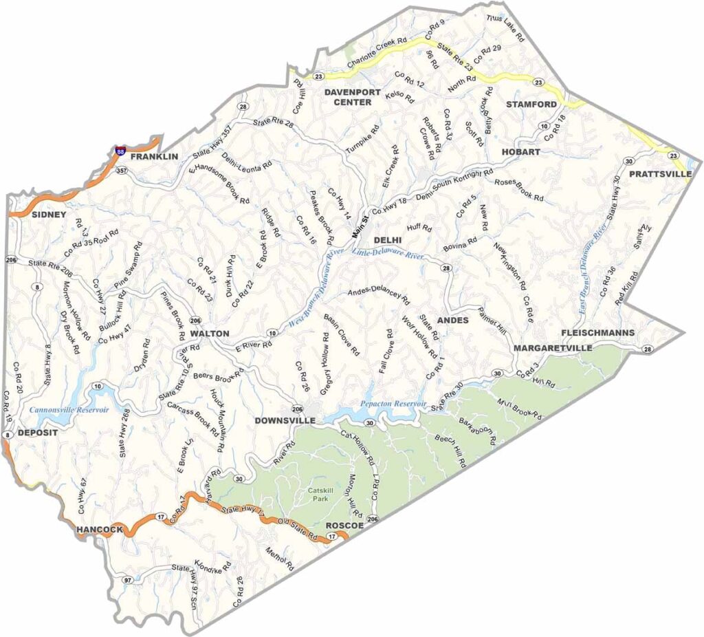
Delaware County Map, New York

Delaware County, New York

In the heart of the Catskill Mountains lies Delaware County, a place where nature takes center stage. It’s an ideal escape for city dwellers looking to unplug. The county is crossed by the east and west branches of the Delaware River, offering excellent opportunities for fly fishing.

Delhi is the county seat and has plenty of small-town hospitality. You’ll find some of the state’s best hiking trails here, while skiers head to Plattekill Mountain during the winter months. Catskill Park also covers a large part of southeastern Delaware County.

The county is home to several New York City reservoirs, which are vital to the city’s water supply. Local artisans and craftspeople display their work in quaint shops throughout the area. Hancock, another notable town, is known as the gateway to the Upper Delaware Scenic Byway.
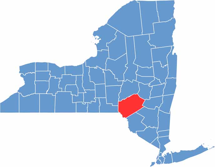

Delaware County location map of New York
CategoryDetails
County NameDelaware County
County SeatDelhi
EtymologyNamed after the Delaware River, which forms its southwestern border
Cities, Towns, and CommunitiesDelhi, Walton, Margaretville, Sidney, Andes
Interstates and HighwaysNew York State Route 10, New York State Route 28, New York State Route 206
FIPS Code36-025
Total Area (Land and Water)1,468 square miles (1,442 sq mi land, 26 sq mi water)
Adjacent Counties (and Direction)Otsego County (North), Schoharie County (Northeast), Greene County (East), Ulster County (Southeast), Sullivan County (South), Wayne County, Pennsylvania (Southwest), Broome County (West), Chenango County (Northwest)
Time ZoneEastern Time Zone (ET)
StateNew York
Coordinates42.2650° N, 74.9923° W
Major LandmarksDelaware and Ulster Railroad, Hanford Mills Museum, Plattekill Mountain
PopulationApproximately 44,000
Scroll to Top