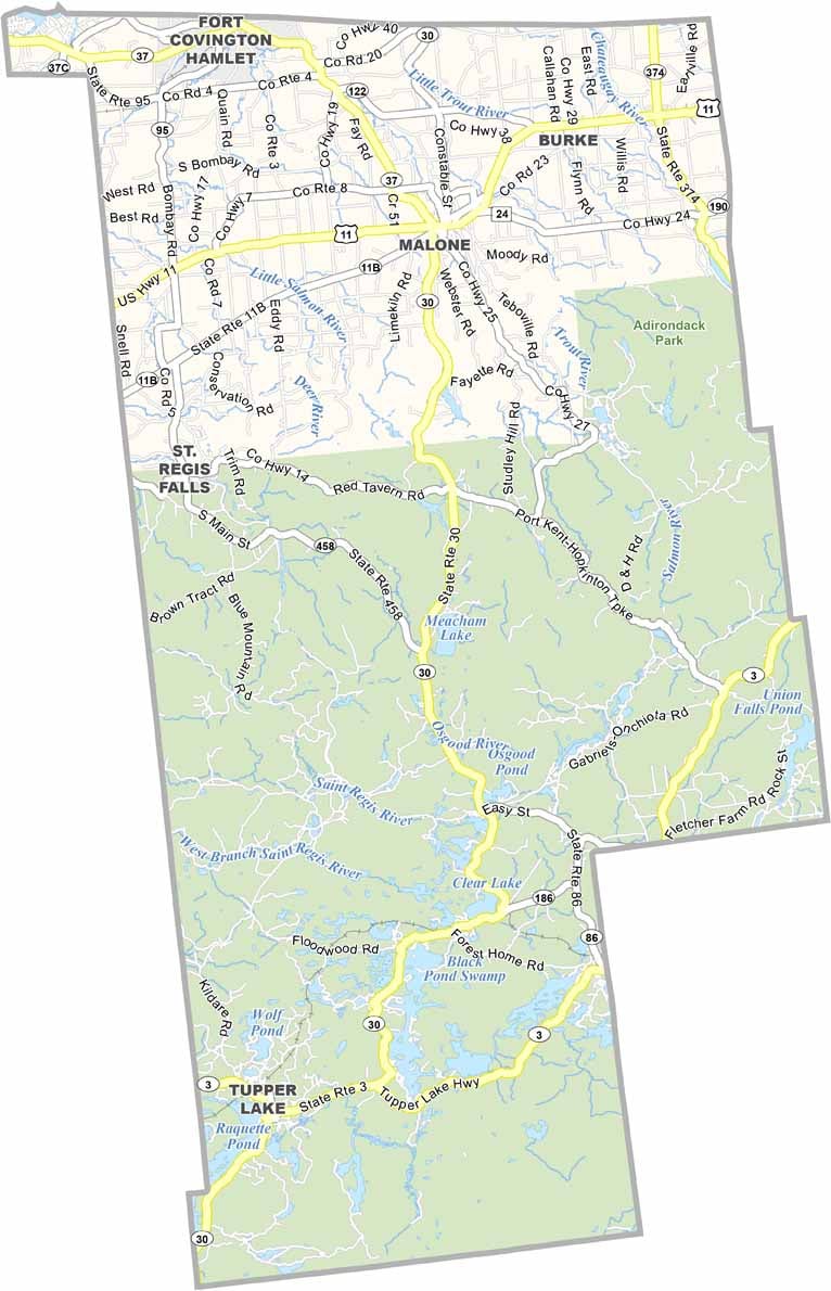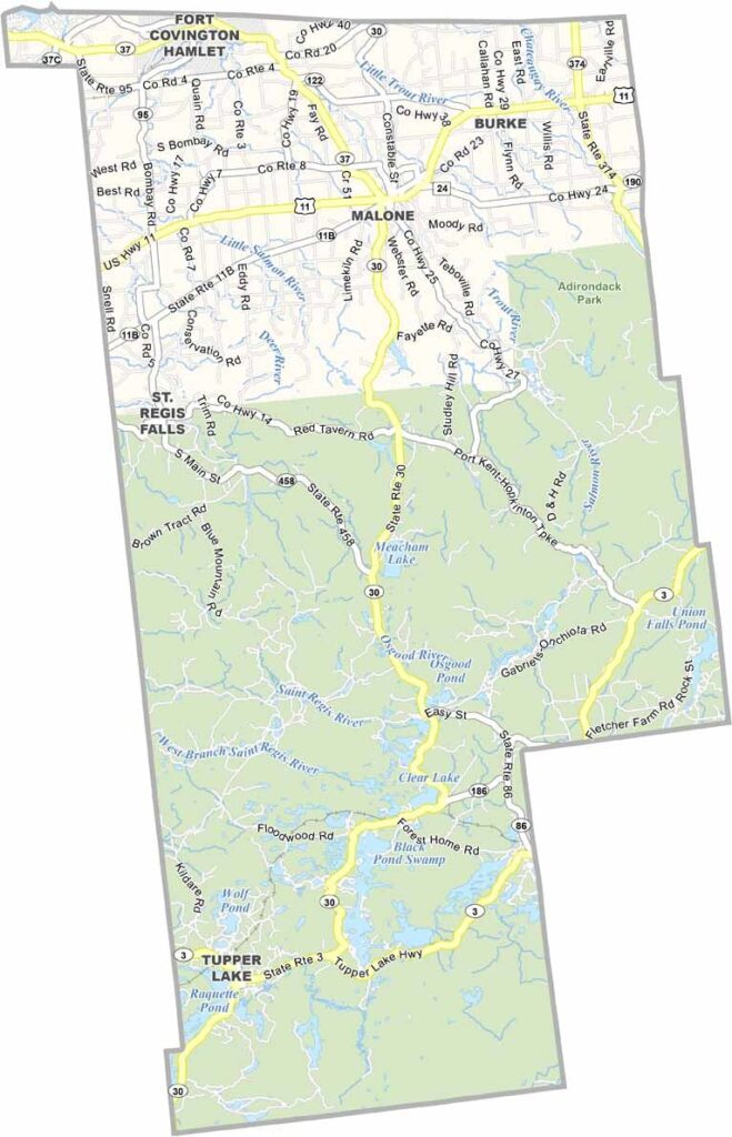
Franklin County Map, New York

Franklin County, New York

Franklin County sits at the top of New York State along the Canadian border. It’s where the Adirondack wilderness meets small-town America. Saranac Lake was once a refuge for tuberculosis patients, but today it has grown into a lively arts community.

The county has deep roots in Native American history, which you can explore at the Six Nations Indian Museum in Onchiota. Tupper Lake is home to The Wild Center, a natural history museum that makes a great stop for families.

Winter turns the area into a snowmobiler’s dream, while visitors enjoy the pristine waters of the St. Regis Canoe Area. The county also has a long history of logging and paper production. The Adirondacks cover the southern region, while Malone, the county seat, sits in the north.
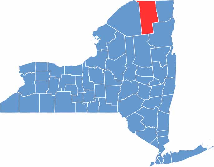

Franklin County location map of New York
CategoryDetails
County NameFranklin County
County SeatMalone
EtymologyNamed after Benjamin Franklin, one of the Founding Fathers of the United States
Cities, Towns, and CommunitiesMalone, Saranac Lake, Tupper Lake, Chateaugay, Fort Covington, Harrietstown
Interstates and HighwaysU.S. Route 11, New York State Route 30, New York State Route 3
FIPS Code36-033
Total Area (Land and Water)1,697 square miles (1,629 sq mi land, 68 sq mi water)
Adjacent Counties (and Direction)Clinton County (East), Essex County (Southeast), Hamilton County (Southwest), St. Lawrence County (West)
Time ZoneEastern Time Zone (ET)
StateNew York
Coordinates44.7792° N, 74.2981° W
Major LandmarksSaranac Lake, Tupper Lake, Paul Smith’s College VIC, Adirondack Park
PopulationApproximately 50,000
Scroll to Top