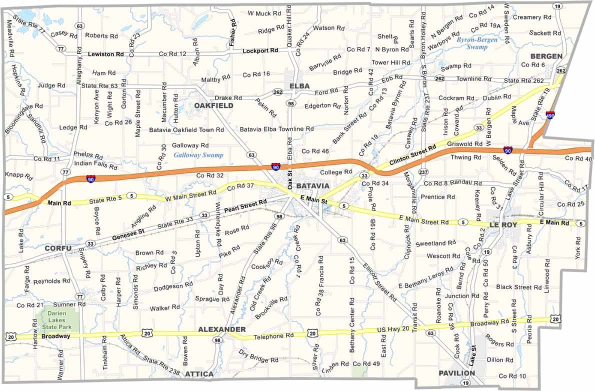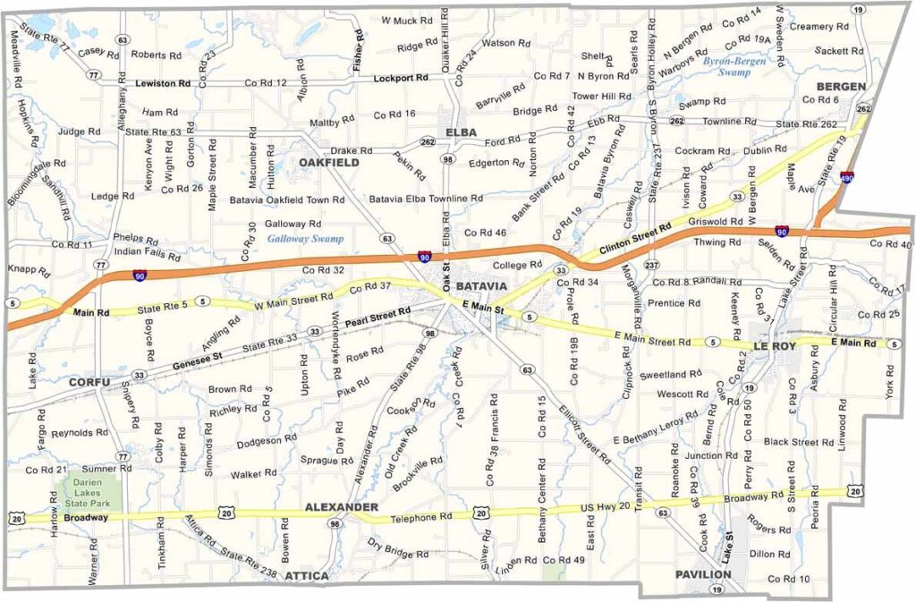
Genesee County Map, New York

Genesee County, New York

Genesee County sits in western New York, halfway between Buffalo and Rochester. It’s a place where history and agriculture come together naturally. Batavia serves as the county seat and is home to the Holland Land Office Museum.

You can’t talk about Genesee County without mentioning Jell-O. The famous wiggly dessert was invented here, and LeRoy, another notable town, is home to the Jell-O Gallery Museum.

The historic Erie Canal runs through the county, while Six Flags Darien Lake is a major amusement park in the area. Genesee County is also known for its rich farmland and farmers markets. The Genesee County Fairgrounds hosts events throughout the year, from demolition derbies to craft fairs.
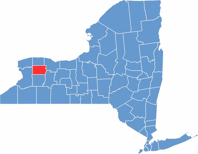

Genesee County location map of New York
CategoryDetails
County NameGenesee County
County SeatBatavia
EtymologyNamed after the Seneca word “Gen-nis’-hee-yo,” meaning “the beautiful valley”
Cities, Towns, and CommunitiesBatavia, Le Roy, Bergen, Alexander, Oakfield, Pembroke
Interstates and HighwaysInterstate 90, U.S. Route 20, New York State Route 63, New York State Route 5
FIPS Code36-037
Total Area (Land and Water)495 square miles (493 sq mi land, 2 sq mi water)
Adjacent Counties (and Direction)Erie County (West), Livingston County (Southeast), Monroe County (Northeast), Niagara County (Northwest), Orleans County (North), Wyoming County (South)
Time ZoneEastern Time Zone (ET)
StateNew York
Coordinates43.0086° N, 78.1527° W
Major LandmarksDarien Lake Theme Park, Genesee County Park & Forest, JELL-O Gallery Museum
PopulationApproximately 57,000
Scroll to Top