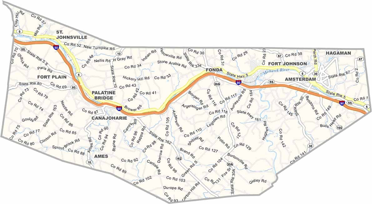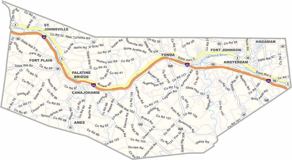
Montgomery County Map, New York

Montgomery County, New York

Montgomery County sits in the heart of the Mohawk Valley, where history comes alive at every turn. The Mohawk River winds through the county, shaping both its past and present.

Amsterdam, the largest city, has reinvented itself from a carpet-making hub into a diverse community. The Shrine of Our Lady of Martyrs in Auriesville is a site worth seeing.

The county has deep Dutch and Mohawk roots, which are evident in its place names and architecture. Visitors love the Schoharie Crossing State Historic Site for its unique blend of nature and history. Montgomery County is named after Revolutionary War hero Richard Montgomery.
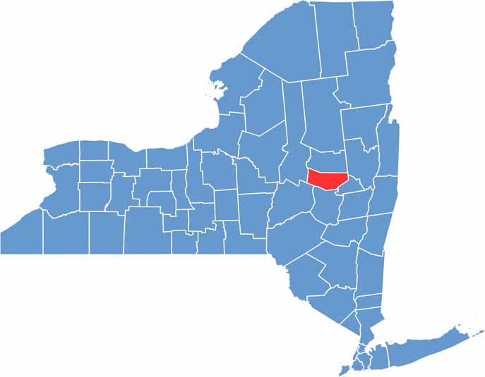

Montgomery County location map of New York
CategoryDetails
County NameMontgomery County
County SeatFonda
EtymologyNamed after Richard Montgomery, an American general in the Revolutionary War
Cities, Towns, and CommunitiesAmsterdam, Gloversville, Johnstown, Nelliston, Fort Plain
Interstates and HighwaysInterstate 90, U.S. Route 30, New York State Route 5S
FIPS Code36-057
Total Area (Land and Water)414 square miles (400 sq mi land, 14 sq mi water)
Adjacent Counties (and Direction)Fulton County (North), Saratoga County (East), Schenectady County (East), Schoharie County (South), Otsego County (Southwest), Herkimer County (West)
Time ZoneEastern Time Zone (ET)
StateNew York
Coordinates42.9360° N, 74.4963° W
Major LandmarksMontgomery County Historical Society, Schoharie Crossing State Historic Site, Fort Plain Museum
PopulationApproximately 49,000
Scroll to Top