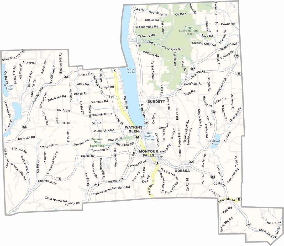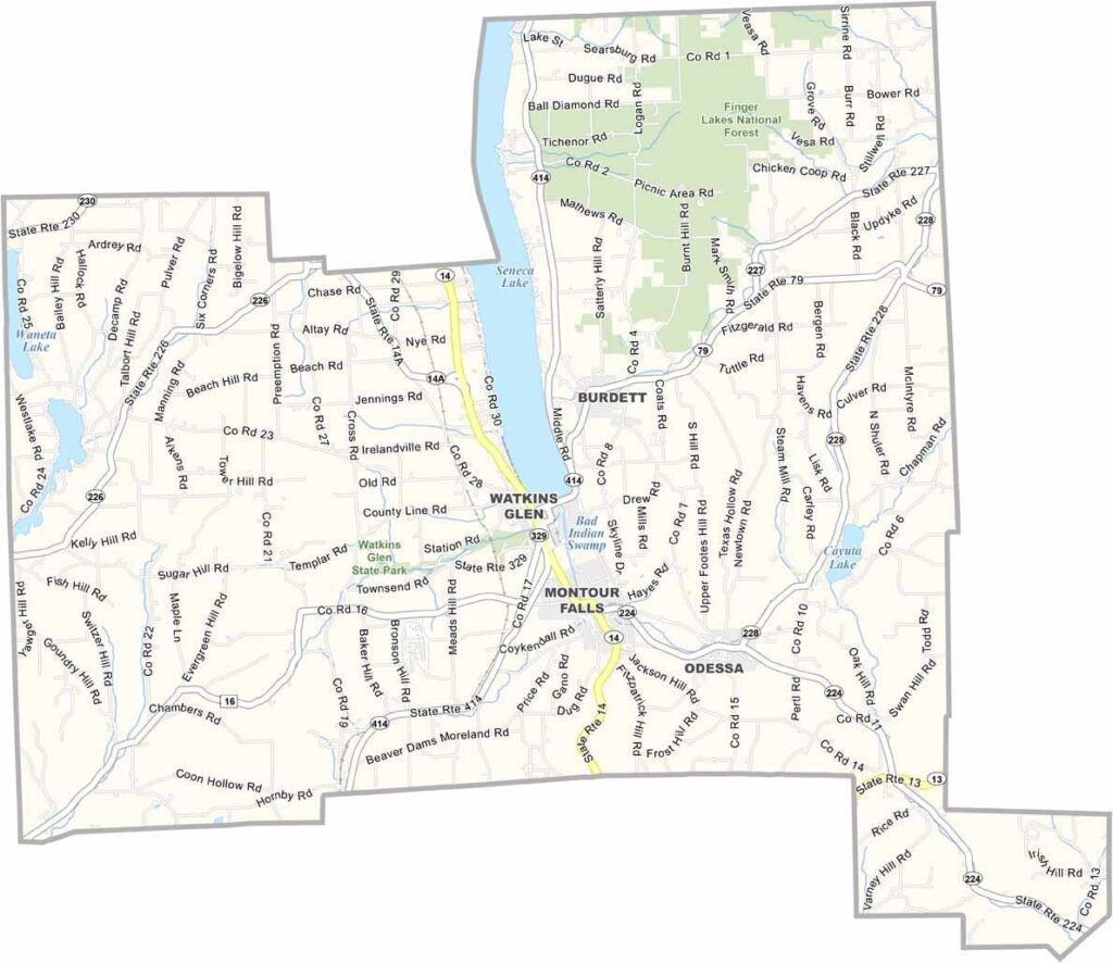
Schuyler County Map, New York

Stone County, Missouri

Schuyler County sits in the Finger Lakes region at the southern tip of Seneca Lake, right in the heart of New York's wine country. The county also celebrates its racing heritage at Watkins Glen International.

The landscape is a patchwork of rolling hills, deep gorges, and sparkling waterfalls. Sounds beautiful? That's because it is. Watkins Glen State Park has hiking trails through its famous gorge, passing 19 waterfalls along the way.

The county's history runs deep, with roots in the Revolutionary War. Farming still plays a big role in the local economy, but these days tourism is king. It's small but mighty, and Schuyler County mixes natural beauty with a rich racing heritage.
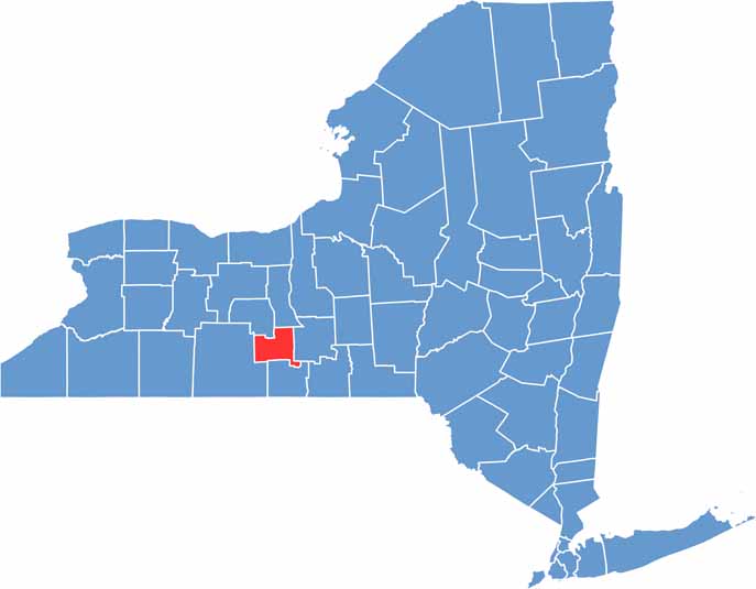

Schuyler County location map of New York
CategoryDetails
County NameSchuyler County
County SeatWatkins Glen
EtymologyNamed after Philip Schuyler, the American Revolutionary War general
Cities, Towns, and CommunitiesWatkins Glen, Montour Falls, Odessa, Burdett, Tyrone
Interstates and HighwaysU.S. Route 14, New York State Route 14, New York State Route 224
FIPS Code36-097
Total Area (Land and Water)1,087 square miles (1,059 sq mi land, 28 sq mi water)
Adjacent Counties (and Direction)Seneca County (North), Tompkins County (East), Chemung County (South), Steuben County (West), Yates County (Northwest)
Time ZoneEastern Time Zone (ET)
StateNew York
Coordinates42.3392° N, 76.8886° W
Major LandmarksWatkins Glen State Park, Seneca Lake, Glenwood Cemetery
PopulationApproximately 18,000
Scroll to Top