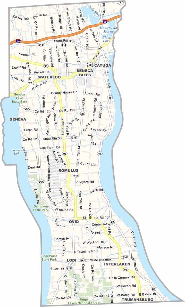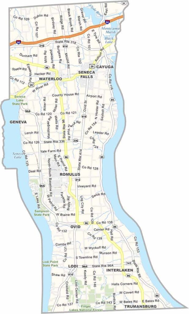
Seneca County Map, New York

Seneca County, New York

Seneca County sits in the middle of the Finger Lakes, sandwiched between two of the biggest lakes, Seneca Lake and Cayuga Lake. The Finger Lakes National Forest spreads across its southern edge, and believe it or not, it's the only national forest in New York.

This place has stories to tell. The Cayuga and Seneca tribes of the Haudenosaunee Confederacy called it home for centuries. Today, it's a patchwork of small towns and farmland, with vineyards climbing the hillsides.

Waterloo is the county seat, though Geneva and Seneca Falls are among the county's largest towns. Seneca Falls played a big role in the women's rights movement, and you can visit the site of the first Women's Rights Convention. The county is a bit off the beaten path, but it's where history and nature come together, right in the heart of New York.
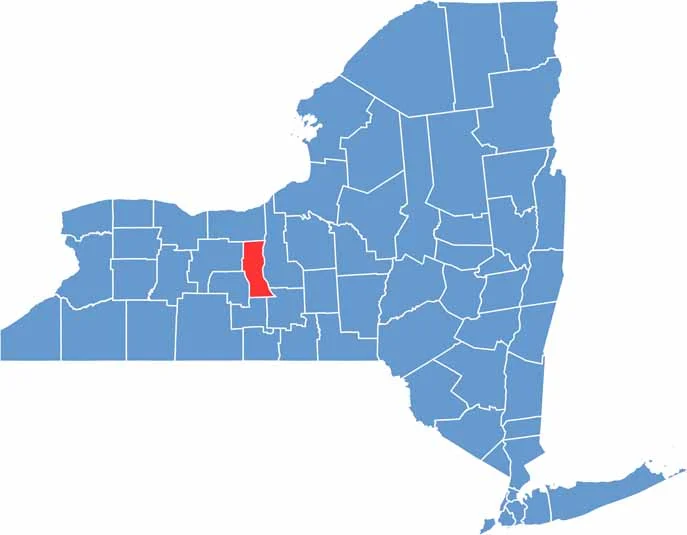

Seneca County location map of New York
CategoryDetails
County NameSeneca County
County SeatWaterloo
EtymologyNamed after the Seneca tribe, part of the Iroquois Confederacy
Cities, Towns, and CommunitiesWaterloo, Geneva, Seneca Falls, Interlaken, Romulus
Interstates and HighwaysU.S. Route 20, U.S. Route 89, New York State Route 5, New York State Route 414
FIPS Code36-099
Total Area (Land and Water)616 square miles (605 sq mi land, 11 sq mi water)
Adjacent Counties (and Direction)Wayne County (North), Cayuga County (East), Tompkins County (Southeast), Schuyler County (South), Yates County (Southwest), Ontario County (West)
Time ZoneEastern Time Zone (ET)
StateNew York
Coordinates42.9118° N, 76.7885° W
Major LandmarksSeneca Lake, Women’s Rights National Historical Park, Montezuma National Wildlife Refuge
PopulationApproximately 35,000
Scroll to Top