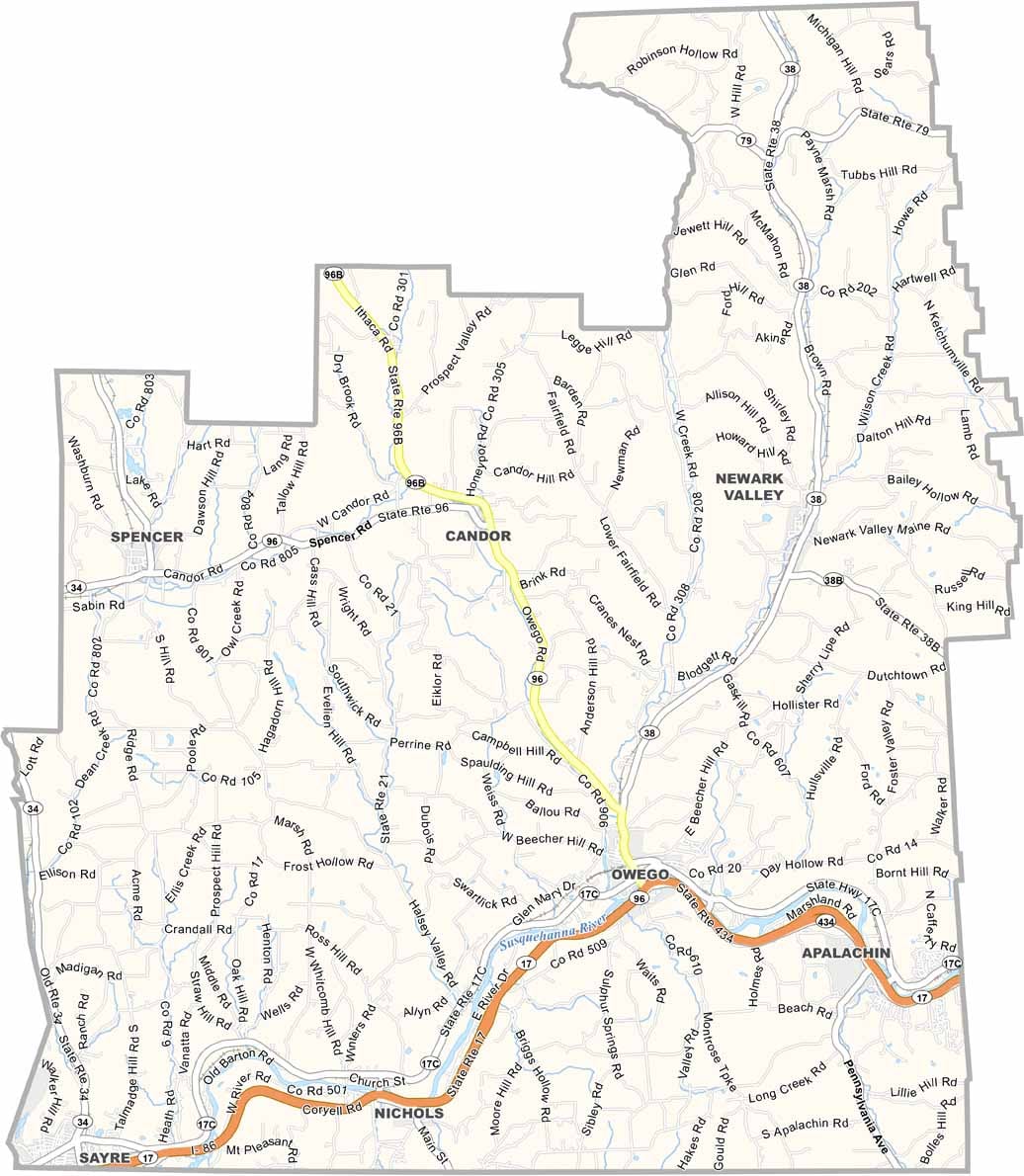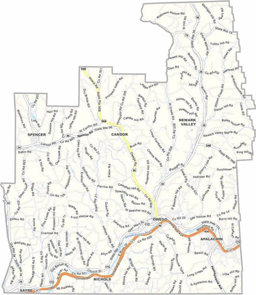
Tioga County Map, New York

Tioga County, New York

Tioga County sits in New York's Southern Tier, right on the Pennsylvania border. It's small-town America at its finest, with rolling hills and winding rivers defining the landscape.

Owego, the county seat, has Victorian storefronts that look straight out of a painting. Lately, high-tech firms have set up shop here, and the mix of old and new gives the county a unique vibe.

Outdoorsy types love it here, with fishing in the Susquehanna River and hiking in the state forests. Tioga Downs brings in the crowds with horse racing and casino games.
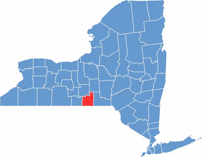

Tioga County location map of New York
CategoryDetails
County NameTioga County
County SeatOwego
EtymologyNamed after a Native American word meaning “at the forks”
Cities, Towns, and CommunitiesOwego, Nichols, Waverly, Candor, Newark Valley
Interstates and HighwaysInterstate 86, U.S. Route 17, New York State Route 96, New York State Route 38
FIPS Code36-107
Total Area (Land and Water)518 square miles (513 sq mi land, 5 sq mi water)
Adjacent Counties (and Direction)Cortland County (Northeast), Broome County (East), Susquehanna County, Pennsylvania (Southeast), Bradford County, Pennsylvania (South), Chemung County (West), Tompkins County (Northwest)
Time ZoneEastern Time Zone (ET)
StateNew York
Coordinates42.0953° N, 76.2584° W
Major LandmarksThe Tioga State Forest, Owego Historic District, Hillside Cemetery
PopulationApproximately 45,000
Scroll to Top