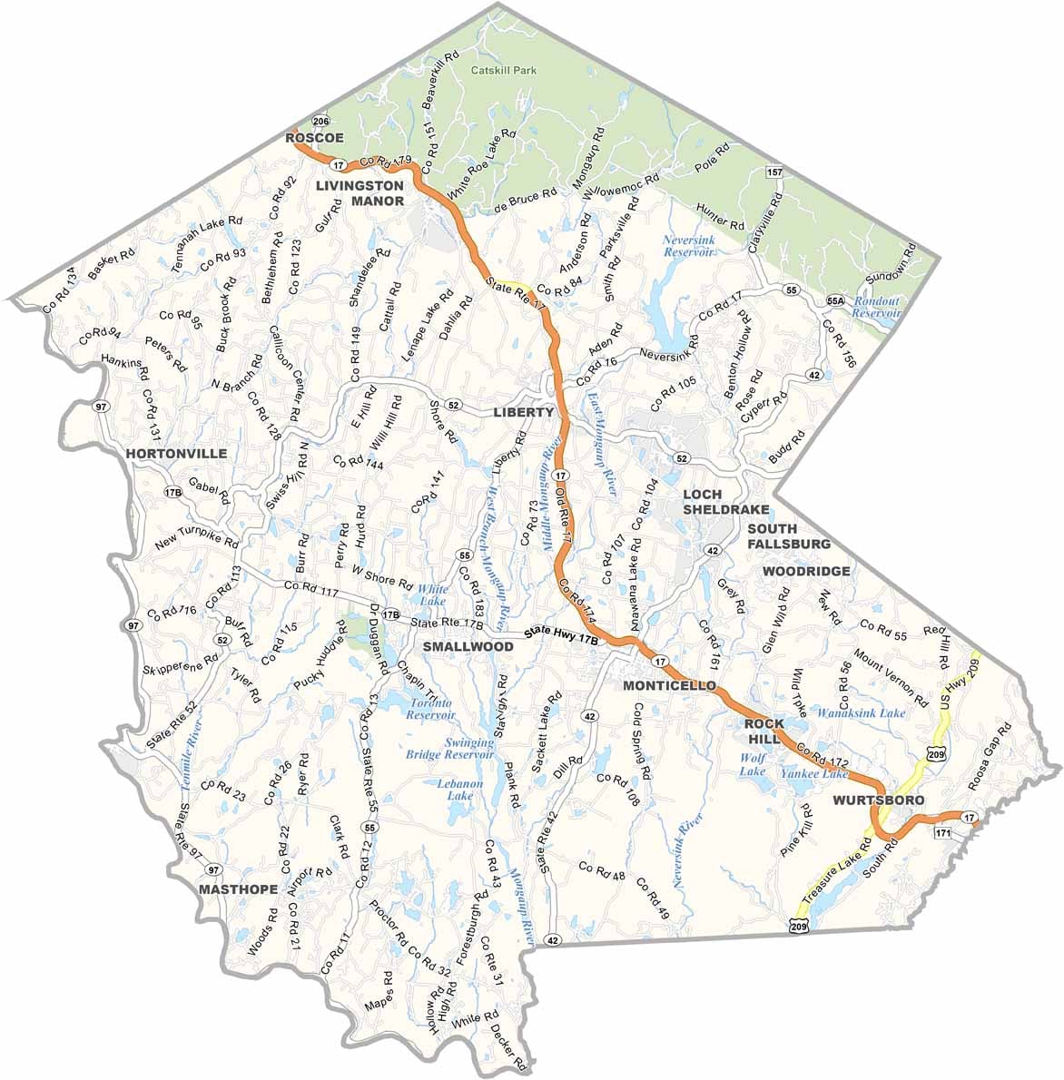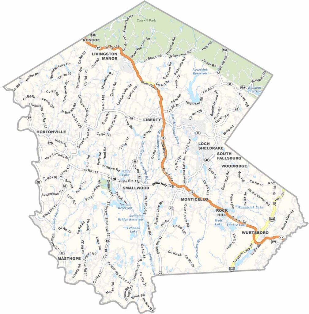
Sullivan County Map, New York

Sullivan County, New York

The Catskills are calling, and Sullivan County answers. This corner of upstate New York is where city folk come to breathe easy. It's only 90 minutes from NYC, but it feels a world away.

Lakes, rivers, and mountains make it an outdoor lover's dream. Catskill Park occupies the north, and Bethel Woods keeps the spirit of Woodstock alive.

The county has seen its ups and downs, and its heyday as the "Borscht Belt" is long gone. But Sullivan is making a comeback, with new businesses moving in and visitors rediscovering its charms. Whether it's hiking, camping, or skiing, Sullivan has it.
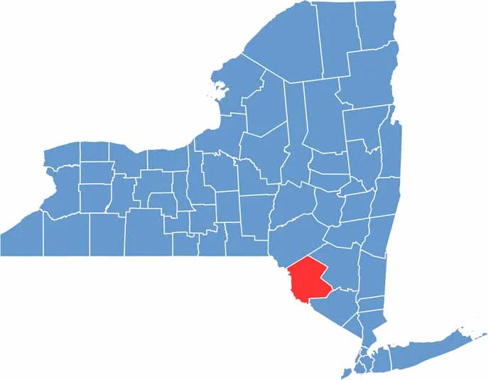

Sullivan County location map of New York
CategoryDetails
County NameSullivan County
County SeatMonticello
EtymologyNamed after John Sullivan, an American Revolutionary War general
Cities, Towns, and CommunitiesMonticello, Liberty, Fallsburg, Bethel, Wurtsboro
Interstates and HighwaysU.S. Route 209, New York State Route 17, New York State Route 52, New York State Route 55
FIPS Code36-105
Total Area (Land and Water)2,109 square miles (1,963 sq mi land, 146 sq mi water)
Adjacent Counties (and Direction)Delaware County (North), Ulster County (Northeast), Orange County (Southeast), Pike County, Pennsylvania (Southwest), Wayne County, Pennsylvania (West)
Time ZoneEastern Time Zone (ET)
StateNew York
Coordinates41.6904° N, 74.8378° W
Major LandmarksBethel Woods Center for the Arts, Sullivan County International Airport, Upper Delaware Scenic Byway
PopulationApproximately 80,000
Scroll to Top