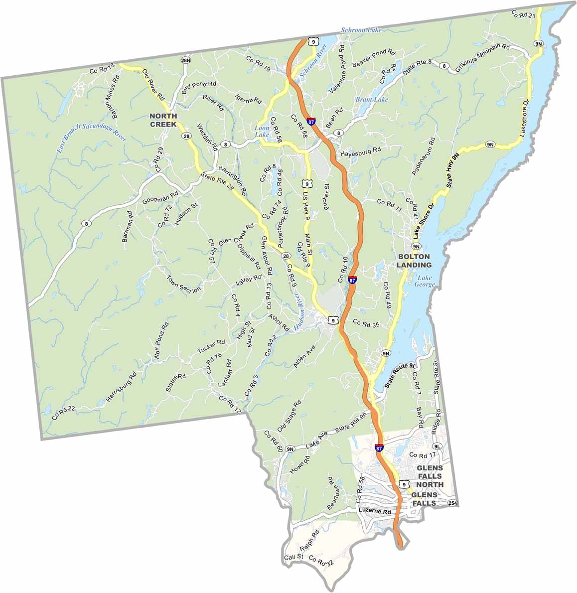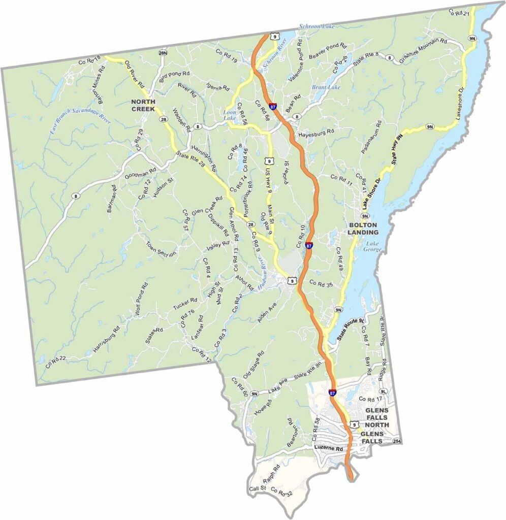
Warren County Map, New York

Warren County, New York

Warren County sits in eastern New York, right in the Adirondacks. Lake George is the crown jewel, forming the eastern border and offering perfect conditions for boating and swimming.

It's a playground for outdoor lovers, with hiking trails crisscrossing the area. Some are easy, while others will test your limits. Tourists flock here in summer, and it can get crowded, but there's a reason people love it.

Winter brings a different kind of fun, with Gore Mountain offering great skiing and snowboarding. The fall colors are incredible, so you'll want to take a million photos. Small towns like Warrensburg have that classic Adirondack charm.
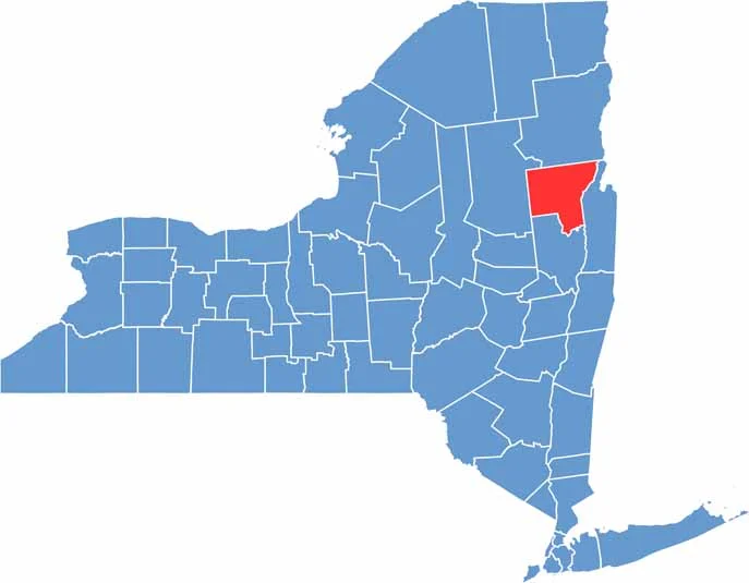

Warren County location map of New York
CategoryDetails
County NameWarren County
County SeatQueensbury
EtymologyNamed after Joseph Warren, an American Revolutionary War general
Cities, Towns, and CommunitiesQueensbury, Glens Falls, Lake George, Bolton Landing, Warrensburg
Interstates and HighwaysInterstate 87, U.S. Route 9, New York State Route 9N, New York State Route 28
FIPS Code36-113
Total Area (Land and Water)868 square miles (830 sq mi land, 38 sq mi water)
Adjacent Counties (and Direction)Essex County (North), Washington County (East), Saratoga County (South), Hamilton County (West)
Time ZoneEastern Time Zone (ET)
StateNew York
Coordinates43.5836° N, 73.7074° W
Major LandmarksLake George, Adirondack Park, Fort William Henry Museum
PopulationApproximately 65,000
Scroll to Top