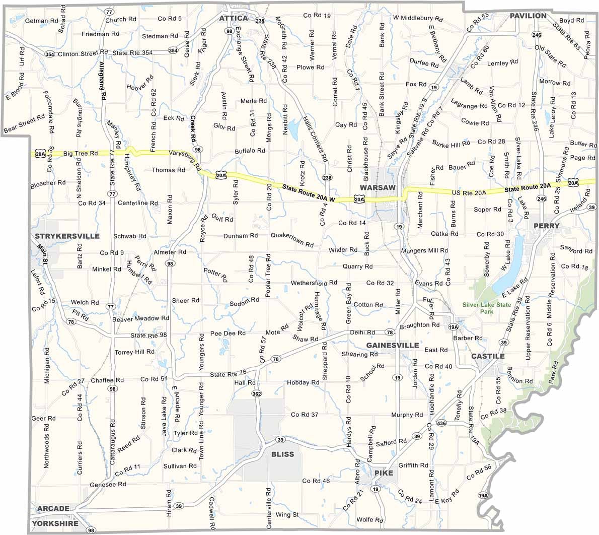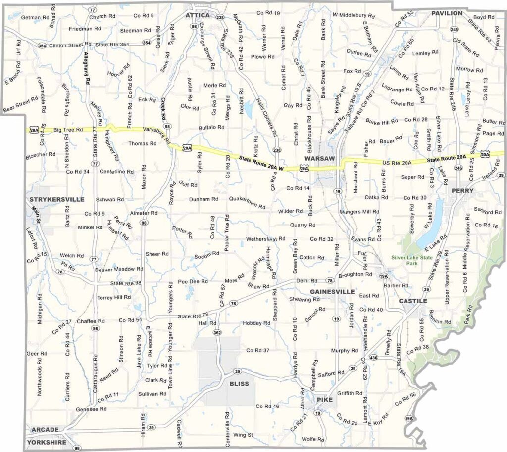
Wyoming County Map, New York

Wyoming County, New York

Wyoming County sits in western New York, about an hour southeast of Buffalo. Ever heard of the "Grand Canyon of the East"? That's Letchworth State Park, and it's right here, with its stunning gorges and waterfalls.

Farming is big here, and you'll see plenty of dairy cows grazing in rolling green pastures. The county's small towns have that classic Americana feel, and Warsaw, the county seat, hosts a fun summer concert series.

Winters can be harsh, but locals make the most of them with ice fishing and snowmobiling. People look out for each other here, and it's a place where you can still leave your doors unlocked at night. But don't just take my word for it.
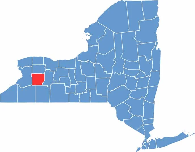

Wyoming County location map of New York
CategoryDetails
County NameWyoming County
County SeatWarsaw
EtymologyNamed after the Wyoming Valley in Pennsylvania, known for its historical significance
Cities, Towns, and CommunitiesWarsaw, Perry, Attica, Gainesville, Arcade
Interstates and HighwaysU.S. Route 20A, New York State Route 19, New York State Route 77, New York State Route 98
FIPS Code36-121
Total Area (Land and Water)1,320 square miles (1,304 sq mi land, 16 sq mi water)
Adjacent Counties (and Direction)Genesee County (North), Livingston County (East), Allegany County (South), Cattaraugus County (Southwest), Erie County (West)
Time ZoneEastern Time Zone (ET)
StateNew York
Coordinates42.7275° N, 78.1692° W
Major LandmarksLetchworth State Park, Silver Lake, Attica Correctional Facility
PopulationApproximately 40,000
Scroll to Top