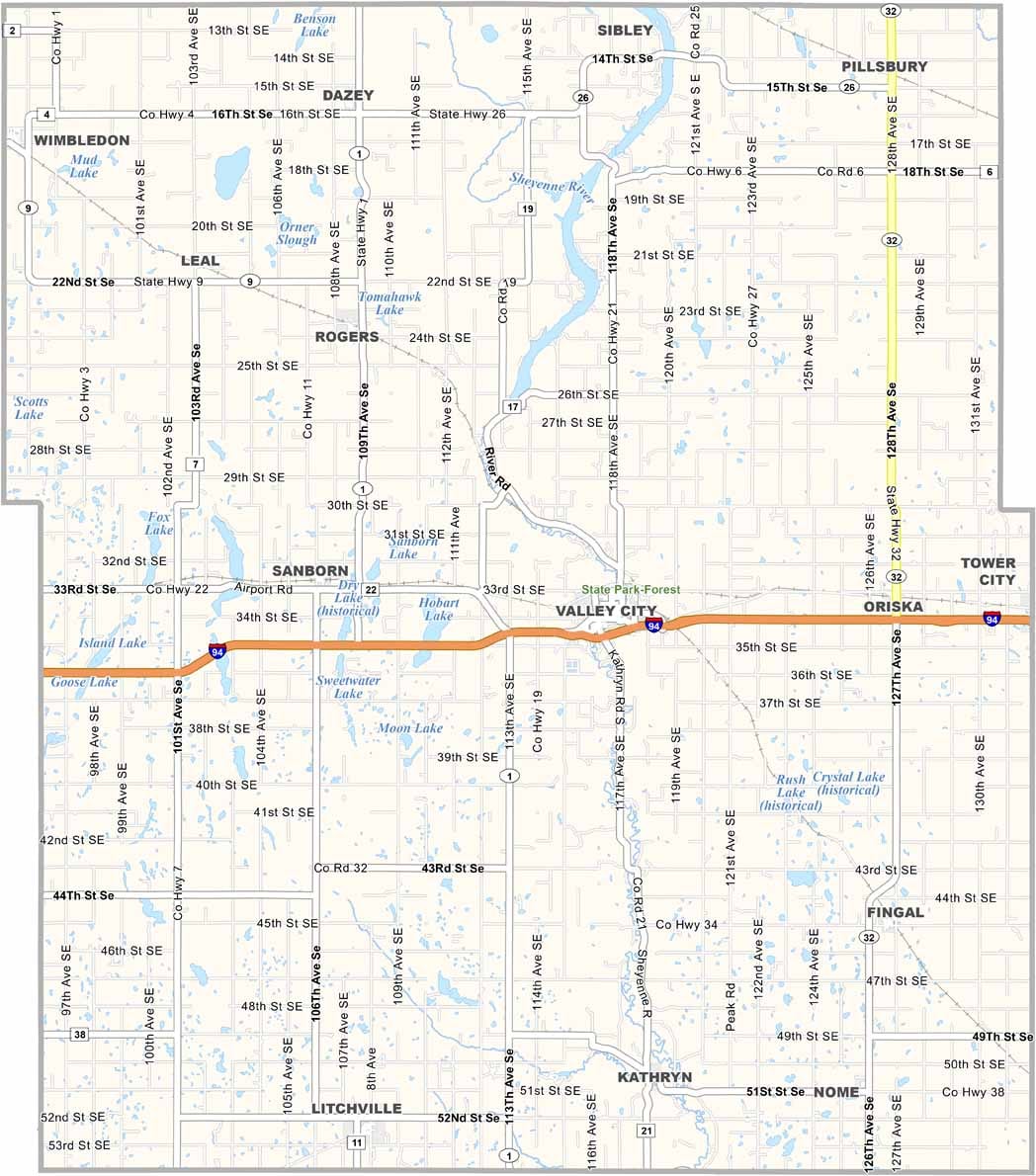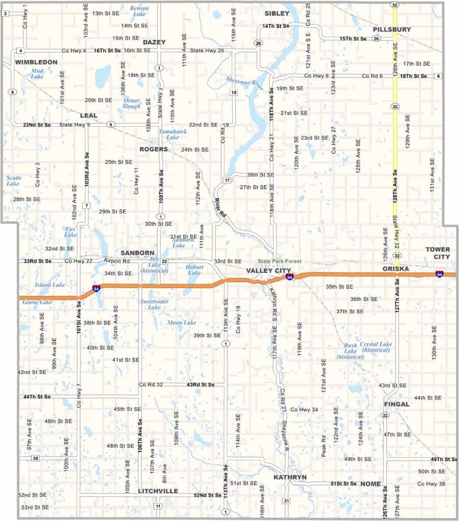
Barnes County Map, North Dakota

Barnes County, North Dakota

Barnes County lies in the heart of eastern North Dakota. Valley City, the county seat, is known as the "City of Bridges," and the Sheyenne River winds through the area, carving out scenic valleys.

Anglers come to Lake Ashtabula for walleye and northern pike. It's also a place where agriculture and education go hand in hand.

Valley City State University calls this county home, while the landscape is a patchwork of farmland and prairie. The county's history is on display at the Barnes County Historical Society Museum.
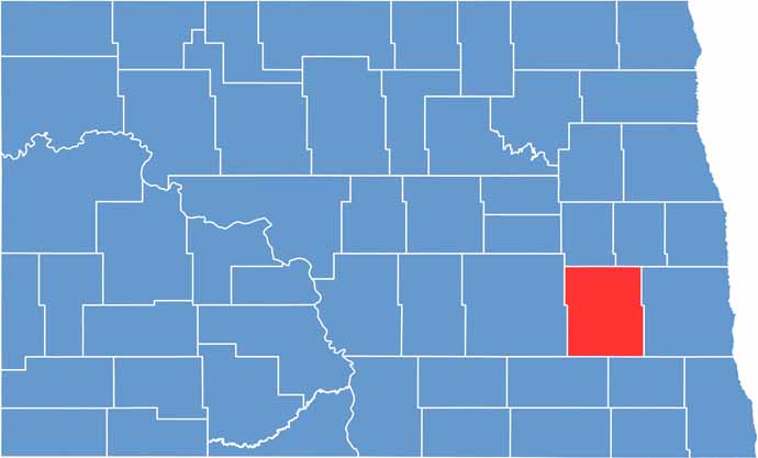
Barnes County location map of North Dakota
CategoryDetails
County NameBarnes County
County SeatValley City
EtymologyNamed after Alanson H. Barnes
Cities, Towns, and CommunitiesValley City, Rogers, Sanborn, Dazey
Interstates and HighwaysU.S. Route 281, North Dakota Highway 46, North Dakota Highway 32
FIPS Code38-003
Total Area (Land and Water)1,279 square miles (land and water)
Adjacent Counties (and Direction)Griggs County (North), Steele County (Northeast), Cass County (East), Ransom County (Southeast), LaMoure County (Southwest), Stutsman County (West)
Time ZoneCentral Time Zone
StateNorth Dakota
Coordinates46.9290° N, 98.0037° W
Major LandmarksChatauqua Park, Valley City Historic Depot
PopulationApproximately 11,000
Scroll to Top