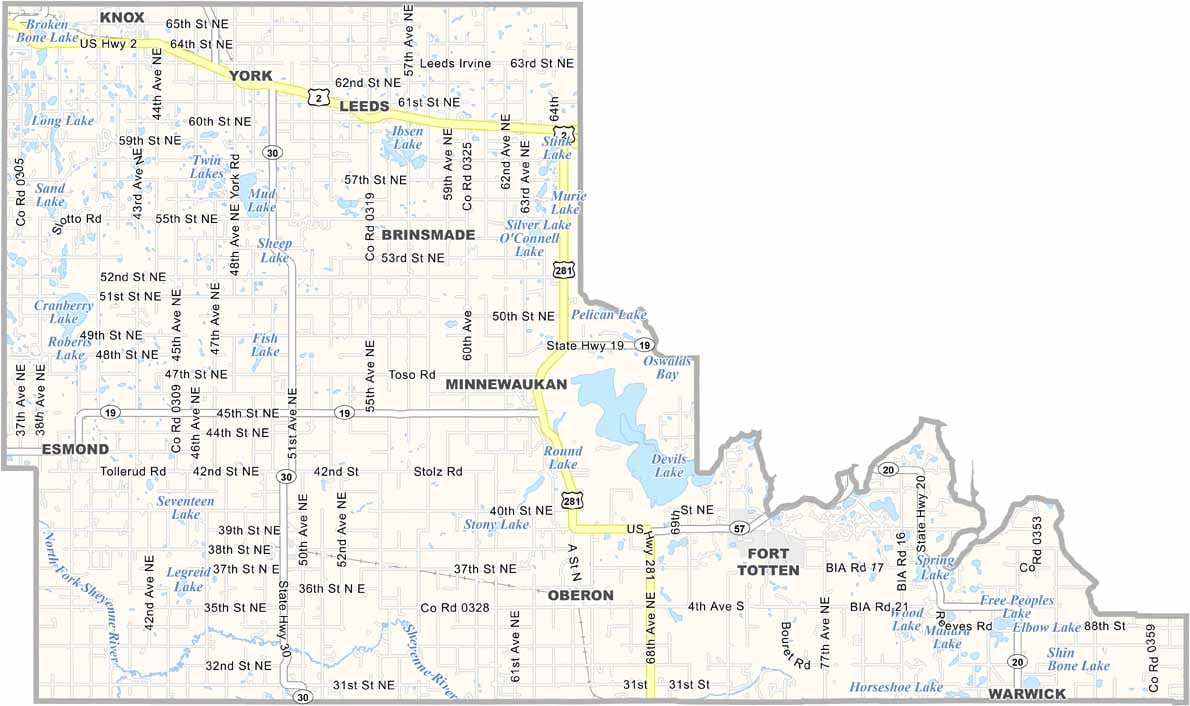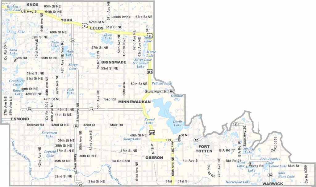
Benson County Map, North Dakota

Benson County, North Dakota

Benson County stretches across north-central North Dakota, a land of lakes and rolling hills. The Spirit Lake Reservation occupies a significant portion of the county.

Fort Totten, a historic military outpost, now serves as a state historic site. Minnewaukan, the county seat, sits on the shores of Devils Lake, and outdoor recreation is a big draw here.

Farming is the backbone of the local economy, with fields of wheat, barley, and sunflowers stretching to the horizon. The county has a rich Native American heritage, and hunting and fishing are popular pastimes in Benson County.
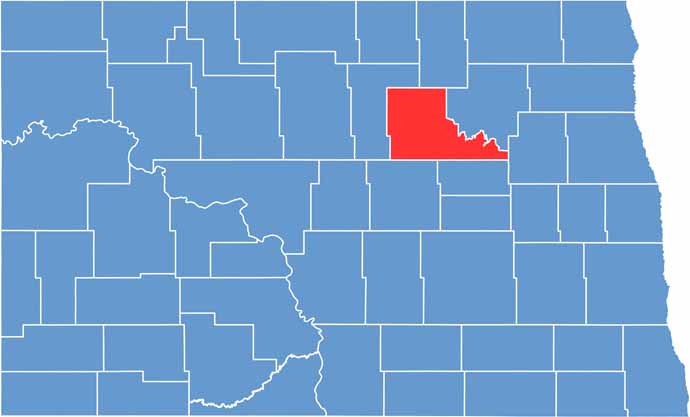
Benson County location map of North Dakota
CategoryDetails
County NameBenson County
County SeatMinnewaukan
EtymologyNamed after Bertil W. Benson
Cities, Towns, and CommunitiesMinnewaukan, Leeds, Maddock, Hamberg
Interstates and HighwaysNorth Dakota Highway 1, North Dakota Highway 19
FIPS Code38-005
Total Area (Land and Water)1,065 square miles (land and water)
Adjacent Counties (and Direction)Towner County (North), Ramsey County (Northeast), Nelson County (East), Eddy County (Southeast), Wells County (Southwest), Pierce County (West)
Time ZoneCentral Time Zone
StateNorth Dakota
Coordinates48.3520° N, 99.2854° W
Major LandmarksDevils Lake, Benson County Historical Society Museum
PopulationApproximately 6,000
Scroll to Top