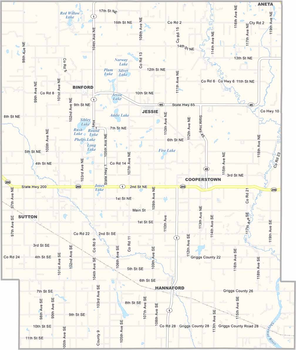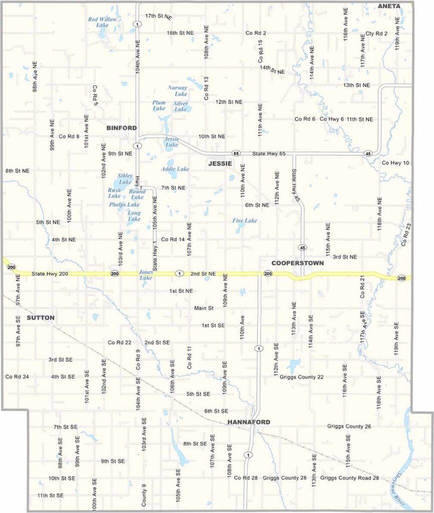
Griggs County Map, North Dakota

Griggs County, North Dakota

Griggs County lies in east-central North Dakota, where lakes and prairies define the landscape. The Sheyenne River winds through the county, carving out some beautiful scenery along the way. Cooperstown is the county seat.

Recreation is a big deal here, with fishing, hunting, and birdwatching all popular pastimes. The county is named after Captain Alexander Griggs, a steamboat captain and the founder of Grand Forks.

Agriculture is the economic backbone, with wheat, soybeans, and sunflowers among the major crops, along with some cattle ranching. The county has a strong Norwegian heritage, and while it's a quiet place, the people are proud of their home.
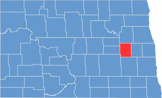
Griggs County location map of North Dakota
CategoryDetails
County NameGriggs County
County SeatCooperstown
EtymologyNamed after Captain Alexander Griggs, a steamboat captain
Cities, Towns, and CommunitiesCooperstown, Binford, Hannaford, Leal
Interstates and HighwaysNorth Dakota Highway 1, North Dakota Highway 32
FIPS Code38-039
Total Area (Land and Water)1,200 square miles (land and water)
Adjacent Counties (and Direction)Nelson County (North), Steele County (East), Barnes County (South), Stutsman County (Southwest), Foster County (West), Eddy County (Northwest)
Time ZoneCentral Time Zone
StateNorth Dakota
Coordinates47.4747° N, 98.0718° W
Major LandmarksGriggs County Museum, Cooperstown Historical Society
PopulationApproximately 2,500
Scroll to Top