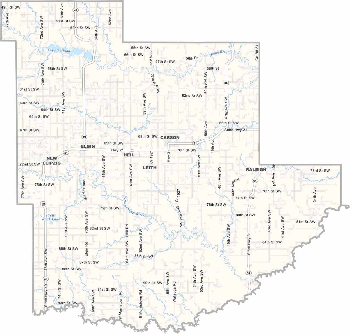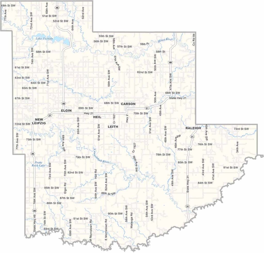
Grant County Map, North Dakota

Grant County, North Dakota

Grant County lies in southwestern North Dakota, with Cedar Creek forming its southern border and the Heart River cutting through the northern region. Like much of the prairie, there's farming here too, at least where the land allows it, and you'll also find some serious badlands terrain.

Carson, the county seat, is tiny, with only about 300 people. Elgin is the biggest town, with around 600 folks. This is cattle country, where ranching is the main game.

The county is named after Ulysses S. Grant. Yeah, that Grant, the Civil War general and president. It was established back in 1916. Oil has become a factor in recent years, as the county sits on the edge of the Bakken Formation, bringing changes that have been a mixed blessing, for better or worse.
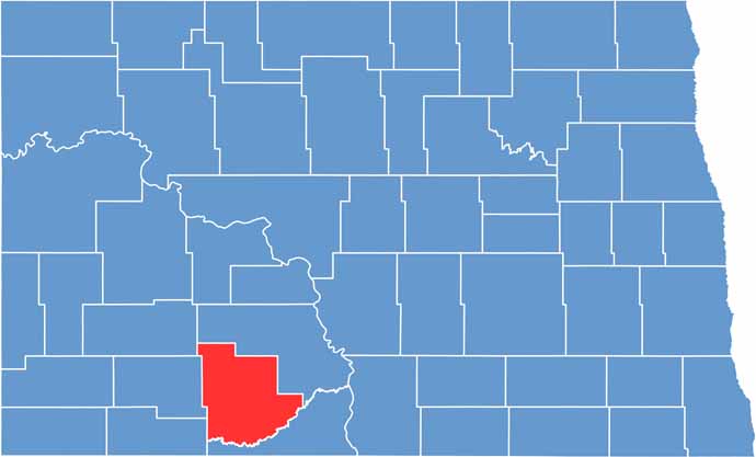
Grant County location map of North Dakota
CategoryDetails
County NameGrant County
County SeatCarson
EtymologyNamed after Ulysses S. Grant, former president
Cities, Towns, and CommunitiesCarson, Elgin, Hebron, Mott
Interstates and HighwaysNorth Dakota Highway 21, North Dakota Highway 31
FIPS Code38-037
Total Area (Land and Water)1,556 square miles (land and water)
Adjacent Counties (and Direction)Morton County (Northeast), Sioux County (South), Adams County (Southwest), Hettinger County (West), Stark County (Northwest)
Time ZoneMountain Time Zone
StateNorth Dakota
Coordinates46.4360° N, 101.5598° W
Major LandmarksGrant County Historical Society Museum, Little Missouri National Grassland
PopulationApproximately 2,500
Scroll to Top