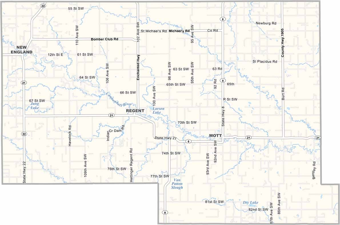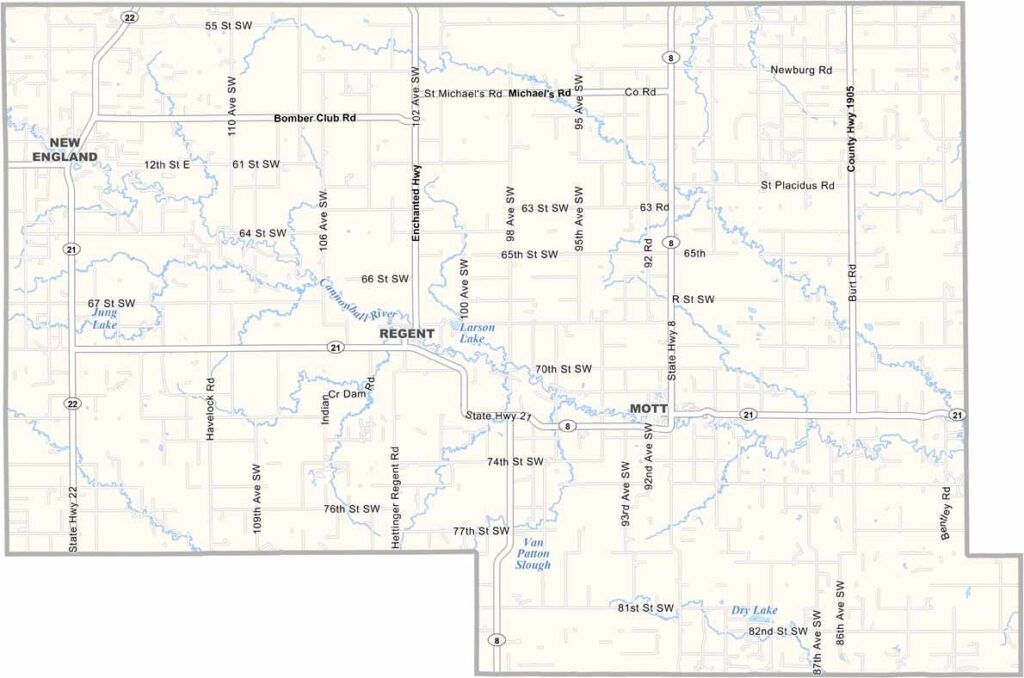
Hettinger County Map, North Dakota

Hettinger County, North Dakota

Hettinger County sits in the southwestern part of North Dakota, a stretch of farm country and rolling prairies where cattle graze lazily in pastures dotted with hay bales.

Mott, the county seat, is a small but lively town. With approximately 2,000 people living in the entire county, Hettinger County is one of the smaller counties in the state.

Visitors will love exploring the old pioneer trails that crisscross the area. Locals take pride in their German-Russian heritage, and you'll find it reflected in the dishes served at church suppers.
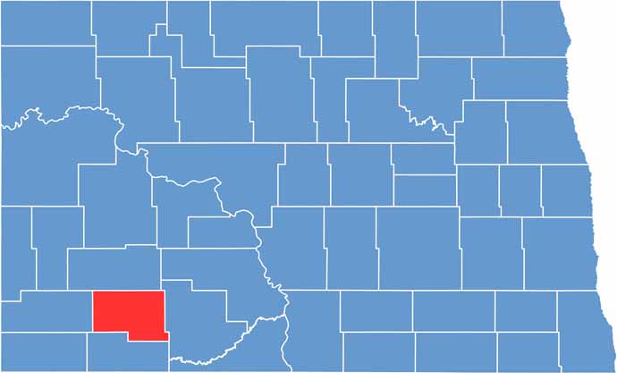
Hettinger County location map of North Dakota
CategoryDetails
County NameHettinger County
County SeatMott
EtymologyNamed after Mathias K. Hettinger
Cities, Towns, and CommunitiesMott, New England, Regent, Gladstone
Interstates and HighwaysNorth Dakota Highway 21, North Dakota Highway 49
FIPS Code38-041
Total Area (Land and Water)1,671 square miles (land and water)
Adjacent Counties (and Direction)Stark County (North), Grant County (East), Adams County (South), Slope County (West)
Time ZoneMountain Time Zone
StateNorth Dakota
Coordinates46.3405° N, 102.4777° W
Major LandmarksTheodore Roosevelt National Park, Hettinger County Courthouse
PopulationApproximately 2,000
Scroll to Top