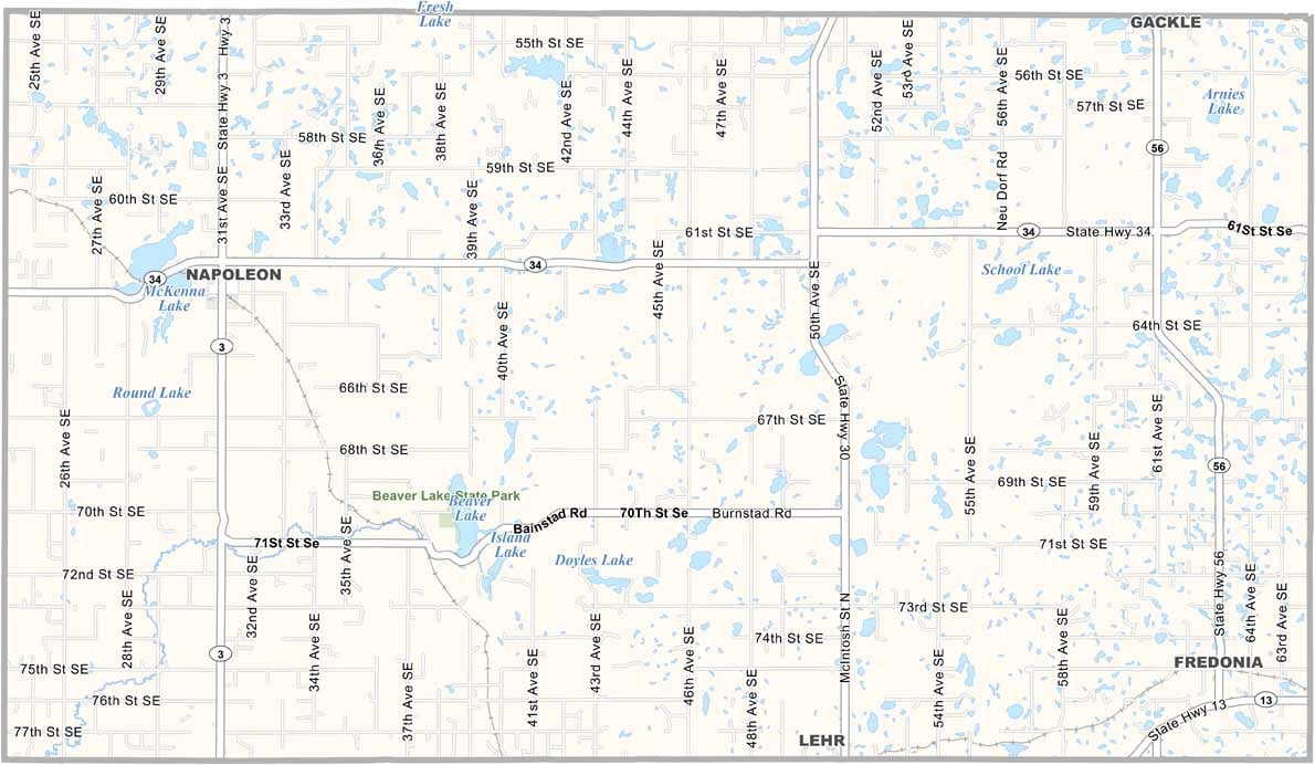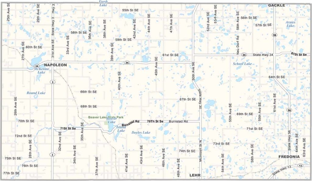
Logan County Map, North Dakota

Logan County, North Dakota

Logan County lies in the hilly region of south-central North Dakota, a landscape heavily shaped by glaciers long ago. The Missouri Coteau runs through the county, and Napoleon serves as the county seat.

Don't expect anything too fancy here. It's a down-to-earth kind of place. Gackle, another small town, is where folks still wave hello and the pace of life runs slow and steady.

Farmers here grow wheat, sunflowers, and other crops, a tough but rewarding way of life. Logan County is off the beaten path, and that's just how locals like it. Peace and quiet reign supreme.
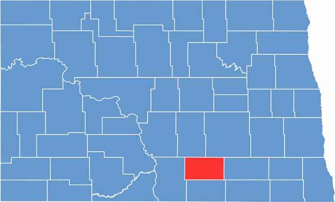
Logan County location map of North Dakota
CategoryDetails
County NameLogan County
County SeatNapoleon
EtymologyNamed after John A. Logan, a Union general in the Civil War
Cities, Towns, and CommunitiesNapoleon, Gackle, St. Anthony, Zeigler
Interstates and HighwaysNorth Dakota Highway 3, North Dakota Highway 13
FIPS Code38-047
Total Area (Land and Water)1,424 square miles (land and water)
Adjacent Counties (and Direction)Stutsman County (Northeast), LaMoure County (East), McIntosh County (South), Emmons County (West), Kidder County (Northwest)
Time ZoneCentral Time Zone
StateNorth Dakota
Coordinates46.3290° N, 99.3356° W
Major LandmarksNapoleon City Park, Lake Oahe
PopulationApproximately 2,200
Scroll to Top