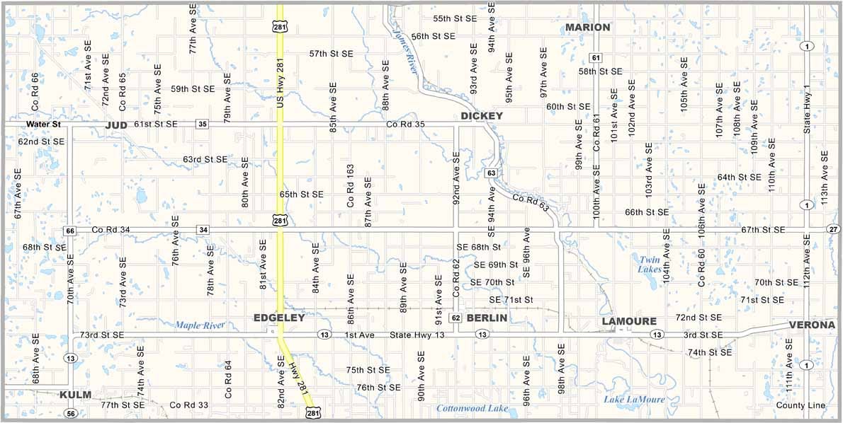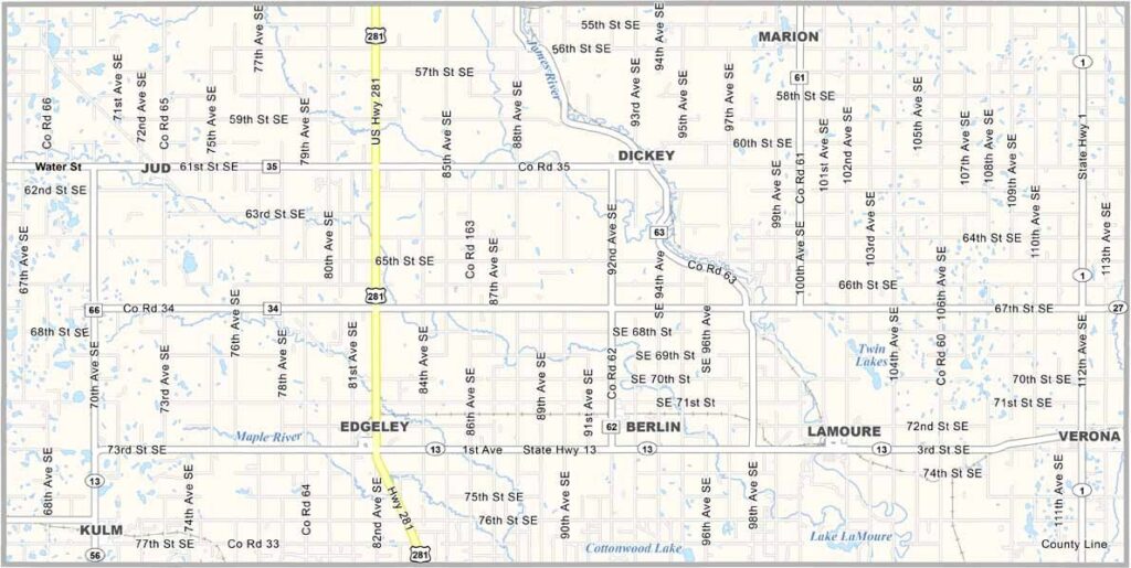
LaMoure County Map, North Dakota

LaMoure County, North Dakota

LaMoure County occupies a chunk of southeastern North Dakota, bisected by the meandering James River. Fishing is popular here, especially for catfish.

LaMoure, the county seat, shares its name with the county and is a friendly little place where folks say hi to strangers on the street. Memorial Park is the town's gathering spot in summer.

County history once came alive at the Toy Farmer Museum, though it has since closed. The county has strong Scandinavian roots, and farmland stretches in every direction.
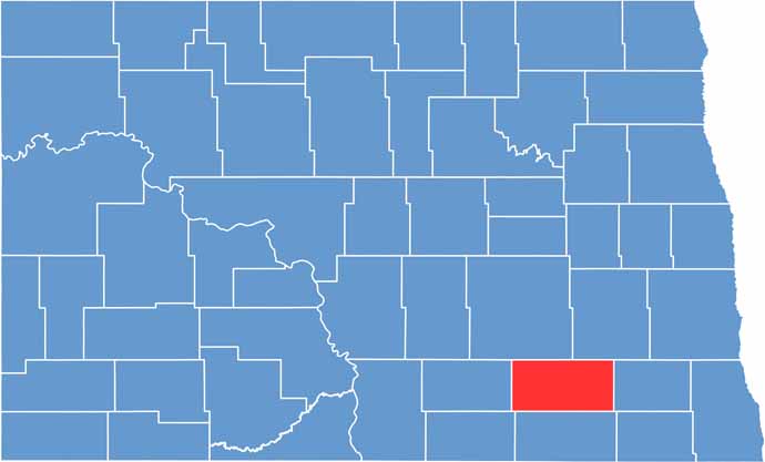
LaMoure County location map of North Dakota
CategoryDetails
County NameLaMoure County
County SeatLaMoure
EtymologyNamed after North Dakota state legislator Judson LaMoure
Cities, Towns, and CommunitiesLaMoure, Edgeley, Verona, Grand Rapids
Interstates and HighwaysNorth Dakota Highway 1, North Dakota Highway 13
FIPS Code38-045
Total Area (Land and Water)1,210 square miles (land and water)
Adjacent Counties (and Direction)Stutsman County (North), Barnes County (Northeast), Ransom County (East), Dickey County (South), McIntosh County (Southwest), Logan County (West)
Time ZoneCentral Time Zone
StateNorth Dakota
Coordinates46.2114° N, 99.0508° W
Major LandmarksLaMoure County Historical Museum, Lake LaMoure
PopulationApproximately 4,000
Scroll to Top