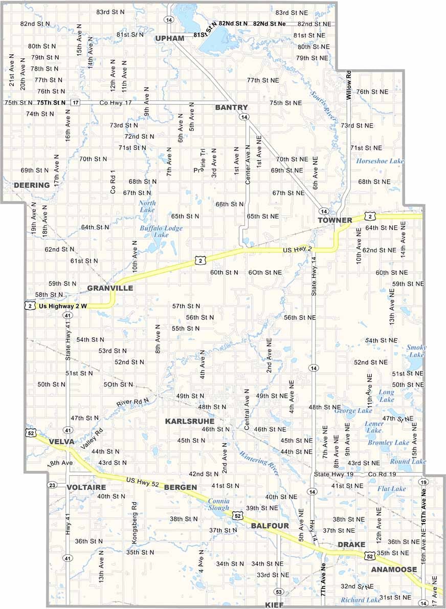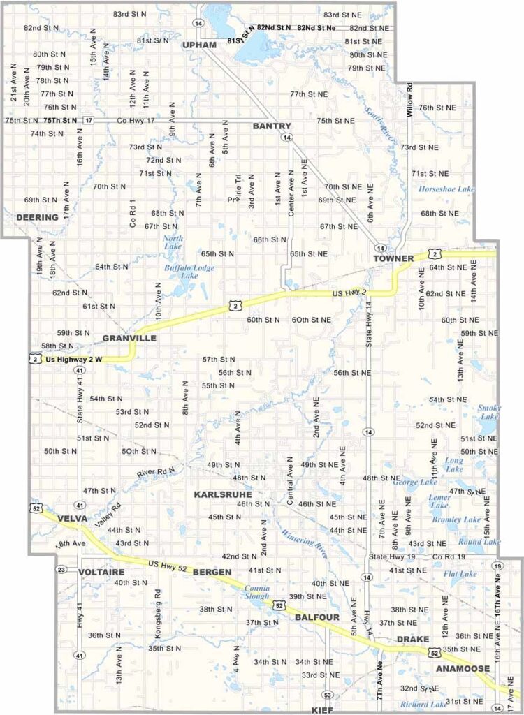
McHenry County Map, North Dakota

McHenry County, North Dakota

McHenry County sprawls across north-central North Dakota. Towner, the county seat, may be tiny in population, but it has a whole lot of character.

The Souris River snakes through the county and is prone to flooding now and then, which locals take in stride. Velva, Upham, and Granville are other small towns scattered across the area.

The county has deep Scandinavian roots, and you might spot lefse at church potlucks. Farmers grow wheat, barley, and canola, and honey production is big business too. If you're looking for elbow room, McHenry County has plenty.
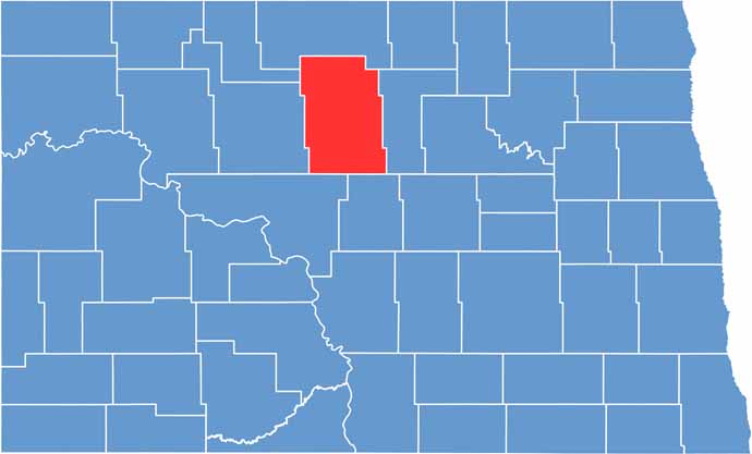
McHenry County location map of North Dakota
CategoryDetails
County NameMcHenry County
County SeatTowner
EtymologyNamed after James McHenry, a prominent early settler and entrepreneur
Cities, Towns, and CommunitiesTowner, Velva, Upham, Granville, Drake, Bantry, Karlsruhe
Interstates and HighwaysU.S. Route 2, U.S. Route 52, North Dakota Highway 41, North Dakota Highway 14
FIPS Code38-049
Total Area (Land and Water)1,912 square miles (Land: 1,874 sq mi, Water: 38 sq mi)
Adjacent Counties (and Direction)Bottineau County (North), Pierce County (East), Sheridan County (Southeast), McLean County (Southwest), Ward County (West), Renville County (Northwest)
Time ZoneCentral Time Zone (CT)
StateNorth Dakota
Coordinates48.4750° N, 100.7247° W
Major LandmarksMouse River, Lake Darling Dam, Denbigh Experimental Forest
PopulationApproximately 5,500
Scroll to Top