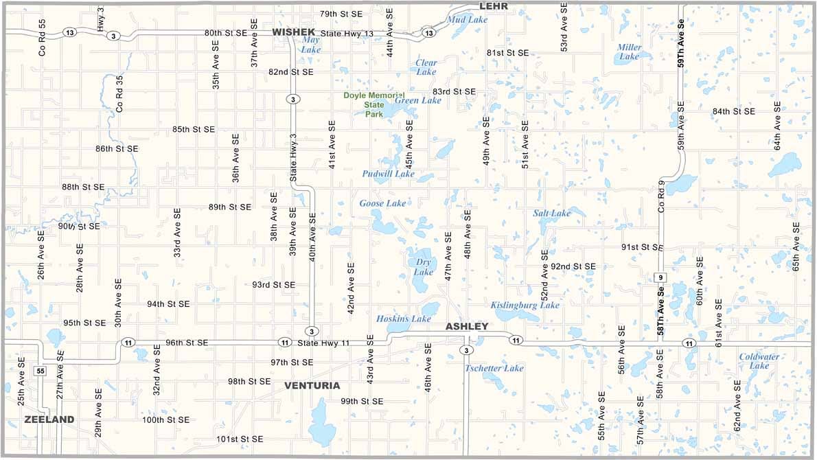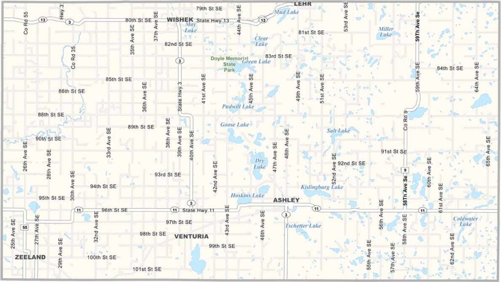
McIntosh County Map, North Dakota

McIntosh County, North Dakota

McIntosh County occupies a patch of south-central North Dakota. Ashley, the county seat, hosts the Tri-County Fair each July, when crowds flock in for the tractor pulls.

German-Russians settled here in droves back in the day, and their influence remains strong. You'll still hear German spoken in local cafes and farm supply stores.

The county has battled population decline for years, but hunting remains huge, deer especially. Doyle Memorial State Park lies in the north-central region, and vast wheat fields stretch to the horizon. It's beautiful in its own prairie way.
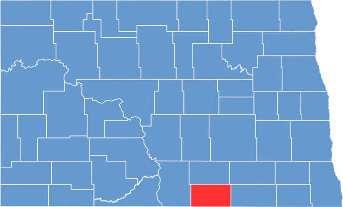
McIntosh County location map of North Dakota
CategoryDetails
County NameMcIntosh County
County SeatAshley
EtymologyNamed after Edward H. McIntosh, a member of the Territorial Legislature
Cities, Towns, and CommunitiesAshley, Wishek, Zeeland, Venturia
Interstates and HighwaysNorth Dakota Highway 3, North Dakota Highway 13
FIPS Code38-051
Total Area (Land and Water)1,711 square miles (land and water)
Adjacent Counties (and Direction)Logan County (North), LaMoure County (Northeast), Dickey County (East), McPherson County, South Dakota (South), Campbell County, South Dakota (Southwest), Emmons County (West)
Time ZoneCentral Time Zone
StateNorth Dakota
Coordinates46.0038° N, 99.1286° W
Major LandmarksMcIntosh County Museum, Lake Ashley
PopulationApproximately 2,700
Scroll to Top