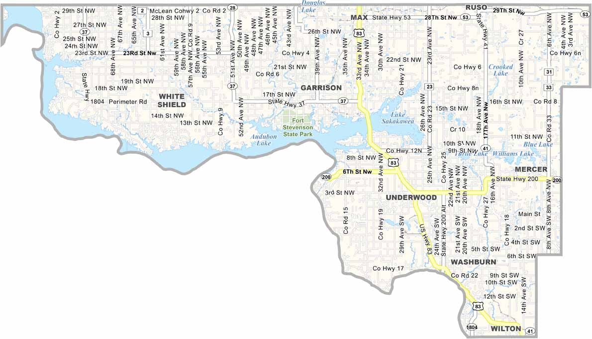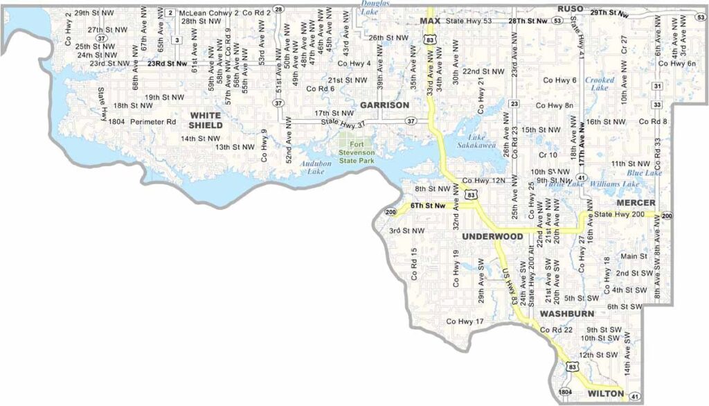
McLean County Map, North Dakota

McLean County, North Dakota

McLean County sprawls across north-central North Dakota, with massive Lake Sakakawea forming its southwestern border, a paradise for boaters and anglers alike.

Washburn serves as the county seat, and Fort Stevenson State Park ranks among the state's most popular attractions. Coal mining drives the local economy, and massive power plants loom on the horizon.

Natural beauty abounds, too. The Audubon National Wildlife Refuge is a haven for birds, while hunters travel from far and wide each fall to bag pheasants. And you'll find some of the friendliest folks around in McLean County.
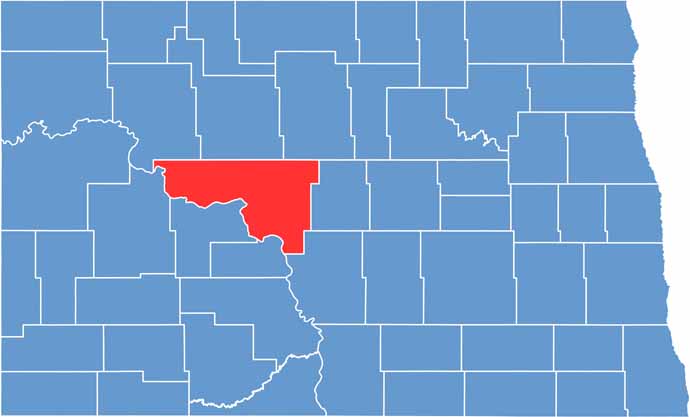
McLean County location map of North Dakota
CategoryDetails
County NameMcLean County
County SeatWashburn
EtymologyNamed after John A. McLean, first mayor of Bismarck, North Dakota
Cities, Towns, and CommunitiesWashburn, Garrison, Underwood, Turtle Lake
Interstates and HighwaysNorth Dakota Highway 83, North Dakota Highway 200
FIPS Code38-055
Total Area (Land and Water)2,119 square miles (land and water)
Adjacent Counties (and Direction)Ward County (North), McHenry County (Northeast), Sheridan County (East), Burleigh County (Southeast), Oliver County (South), Mercer County (Southwest), Dunn County (West), Mountrail County (Northwest)
Time ZoneCentral Time Zone
StateNorth Dakota
Coordinates47.3367° N, 101.1072° W
Major LandmarksLake Sakakawea, Fort Mandan Historic Site
PopulationApproximately 8,000
Scroll to Top