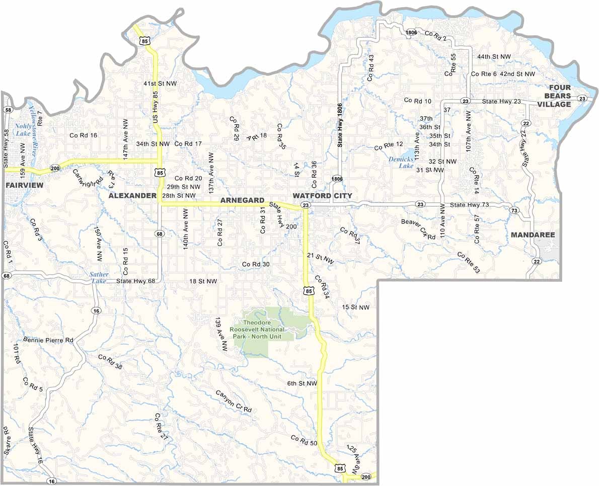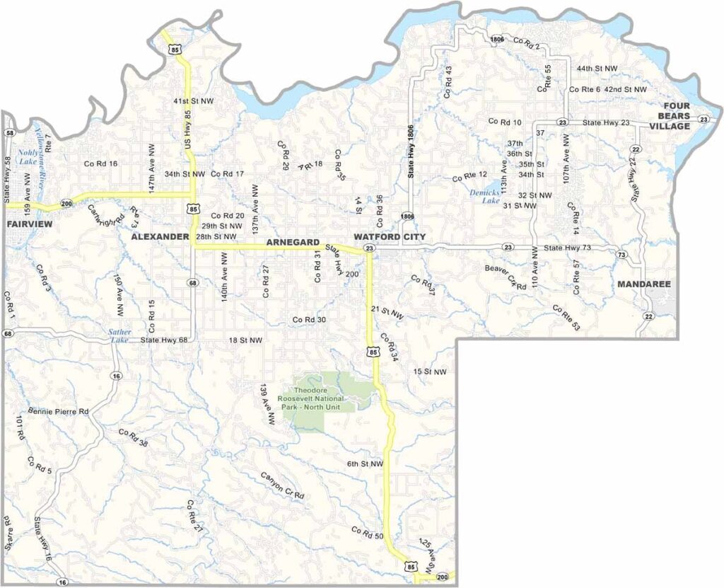
McKenzie County Map, North Dakota

McKenzie County, North Dakota

The Badlands dominate the western reaches of McKenzie County, a rugged, otherworldly landscape where oil rigs now cover the horizon. The boom has brought big changes.

Watford City, the county seat, has exploded in size, with new schools, hotels, and businesses springing up left and right. Ranching remains important despite the oil, and cowboys still ride the range here.

The county also encompasses part of Theodore Roosevelt National Park. Yep, the North Unit, where bison roam free just like in the old days. Meanwhile, the Missouri River carves its way through to form the county's northern border.
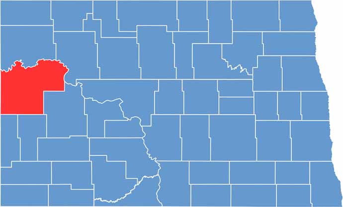
McKenzie County location map of North Dakota
CategoryDetails
County NameMcKenzie County
County SeatWatford City
EtymologyNamed after Alexander McKenzie
Cities, Towns, and CommunitiesWatford City, Alexander, Arnegard, Epping
Interstates and HighwaysNorth Dakota Highway 23, North Dakota Highway 85
FIPS Code38-053
Total Area (Land and Water)2,873 square miles (land and water)
Adjacent Counties (and Direction)Williams County (North), Mountrail County (Northeast), Dunn County (Southeast), Billings County (South), Golden Valley County (Southwest), Wibaux County, Montana (West), Richland County, Montana (Northwest)
Time ZoneMountain Time Zone
StateNorth Dakota
Coordinates48.1890° N, 103.1544° W
Major LandmarksTheodore Roosevelt National Park, Lake Sakakawea
PopulationApproximately 17,000
Scroll to Top