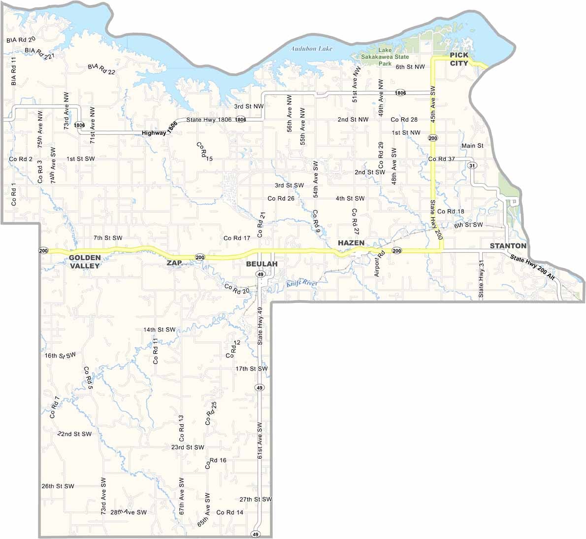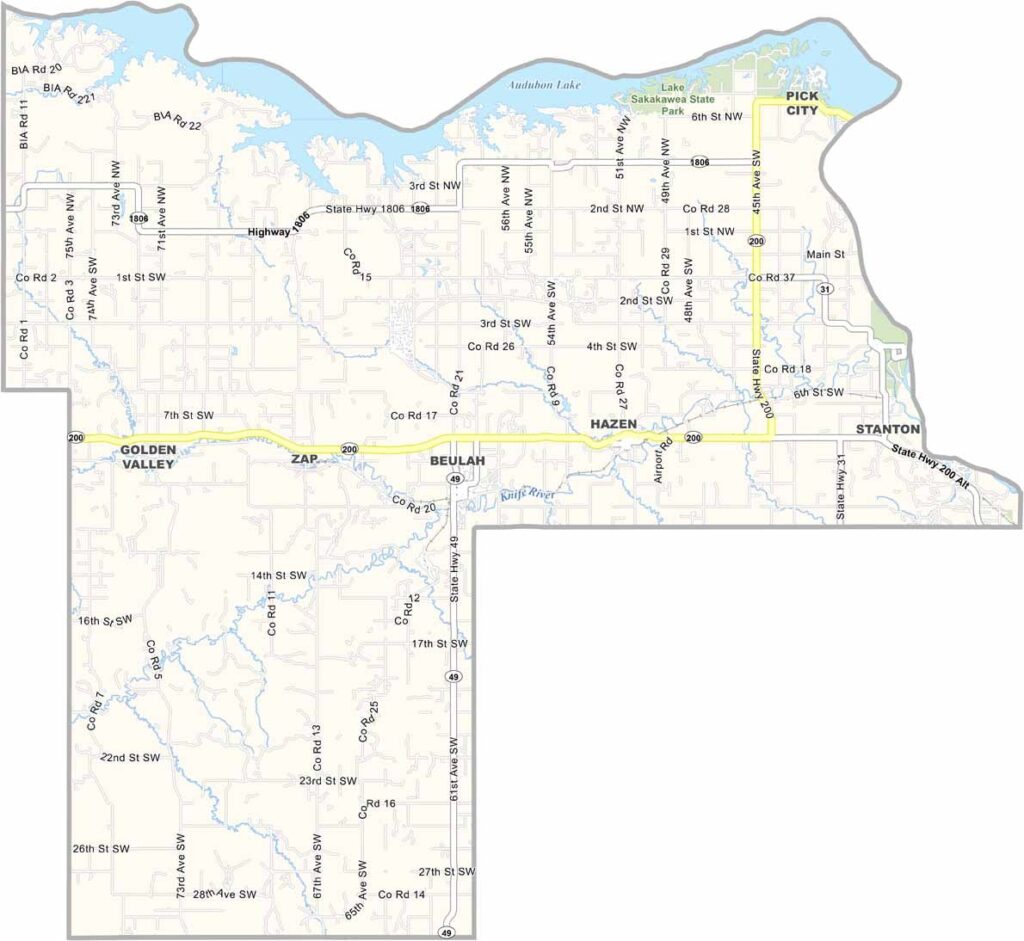
Mercer County Map, North Dakota

Mercer County, North Dakota

Mercer County sits in the heart of North Dakota coal country, where massive draglines claw at the earth day and night and power plants convert lignite into electricity. But industry is only part of the story here.

Lake Sakakawea spreads its blue waters across the northern edge of the county, drawing fishermen who reel in walleye and northern pike. Stanton, the county seat, is a sleepy little town for most of the year, but it comes alive each July during the county fair.

Rodeos and pie-eating contests pull in the crowds (yum!). Nearby, the Knife River Indian Villages National Historic Site preserves traces of ancient cultures, and you can still see the depressions in the earth where earth lodges once stood.
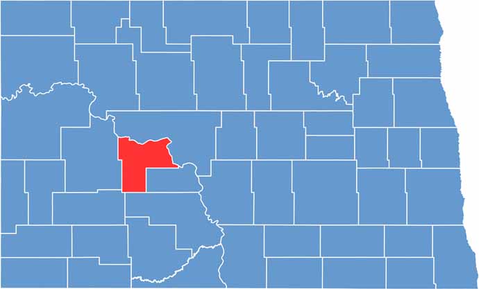
Mercer County location map of North Dakota
CategoryDetails
County NameMercer County
County SeatStanton
EtymologyNamed after William Henry Harrison Mercer
Cities, Towns, and CommunitiesStanton, Beulah, Hazen, Golden Valley
Interstates and HighwaysNorth Dakota Highway 200, North Dakota Highway 49
FIPS Code38-057
Total Area (Land and Water)1,688 square miles (land and water)
Adjacent Counties (and Direction)McLean County (North), Oliver County (East), Morton County (South), Stark County (Southwest), Dunn County (West)
Time ZoneCentral Time Zone
StateNorth Dakota
Coordinates47.2753° N, 101.5806° W
Major LandmarksLake Sakakawea, Theodore Roosevelt National Park
PopulationApproximately 9,000
Scroll to Top