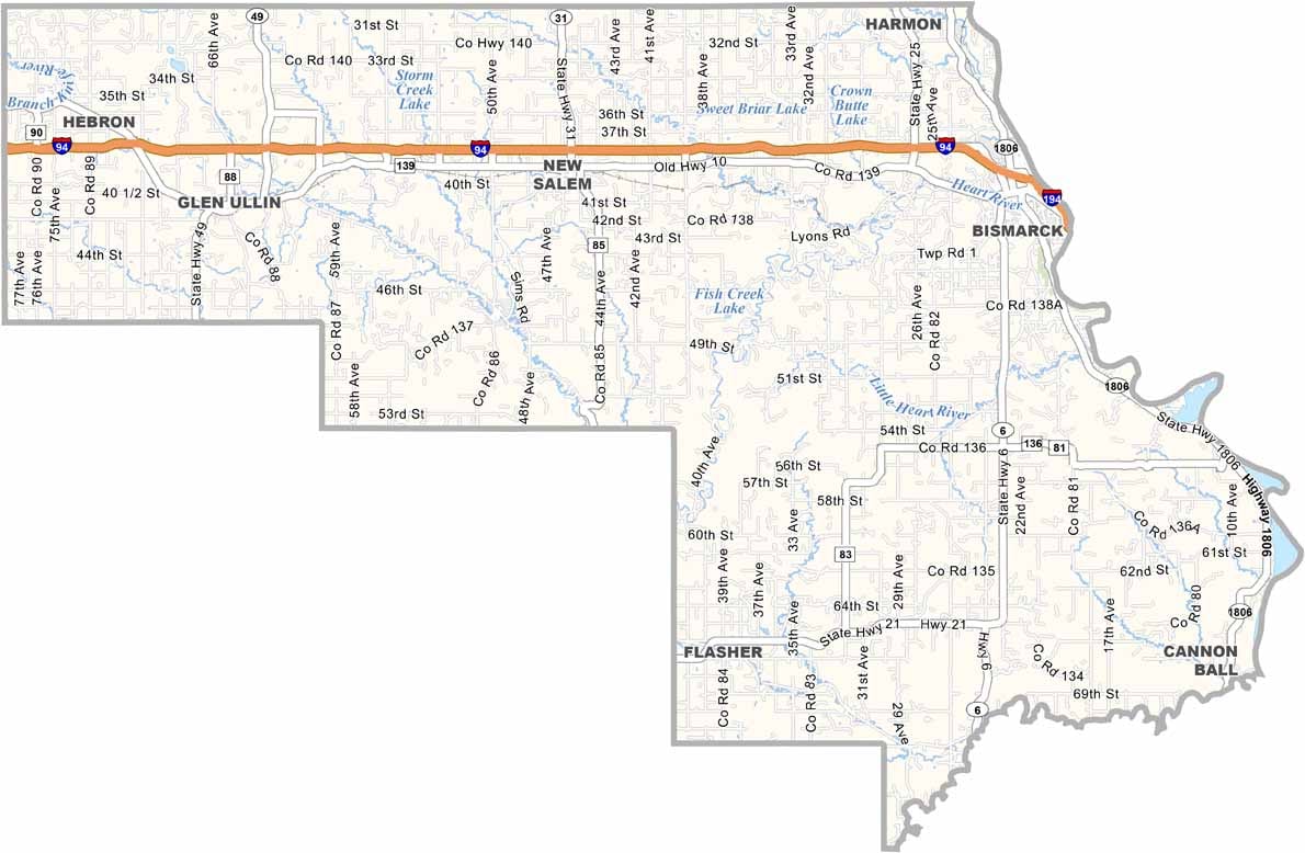
Morton County Map, North Dakota

Morton County, North Dakota

The mighty Missouri River slices through the eastern side of Morton County. Mandan, the county seat, sits just across the river from Bismarck, and together the two cities form a mini metro area.

Drive a few miles out, though, and you're in cattle country, where rolling hills stretch to the horizon. Fort Abraham Lincoln State Park is a must-visit spot, once home to cavalry troops who rode out to fight indigenous people.

Today the park is all about hiking, camping, and history. In New Salem, you'll find "Salem Sue," the world's largest Holstein cow statue. It's goofy, but fun. The county also has a rich Native American heritage.
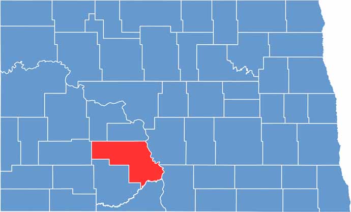
Morton County location map of North Dakota
CategoryDetails
County NameMorton County
County SeatMandan
EtymologyNamed after Governor of Indiana Oliver Hazard Perry Throck Morton
Cities, Towns, and CommunitiesMandan, Morton, Flasher, New Salem
Interstates and HighwaysInterstate 94, U.S. Route 83, North Dakota Highway 6
FIPS Code38-059
Total Area (Land and Water)2,279 square miles (land and water)
Adjacent Counties (and Direction)Oliver County (North), Burleigh County (Northeast), Emmons County (East), Sioux County (Southeast), Grant County (South), Stark County (West), Mercer County (Northwest)
Time ZoneCentral Time Zone
StateNorth Dakota
Coordinates46.8207° N, 100.8920° W
Major LandmarksFort Abraham Lincoln State Park, Mandan Historical Museum
PopulationApproximately 100,000
Scroll to Top