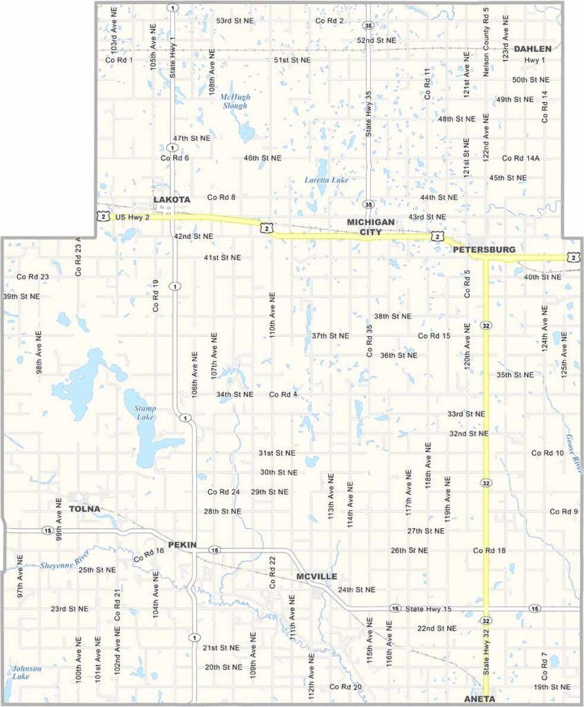
Nelson County Map, North Dakota

Nelson County, North Dakota

Nelson County stretches across the eastern part of North Dakota, where lake country takes over. The Sheyenne River winds through the county, carving out a scenic valley.

Lakota, the county seat, has a rich history. Agriculture drives the local economy, and vast fields of wheat, soybeans, and corn blanket the landscape.

The county has a strong sense of community, and local events like the Stump Lake Village Threshing Bee bring people together. Visitors especially enjoy hiking and birdwatching in Stump Lake Park, whose natural beauty is uniquely North Dakotan.
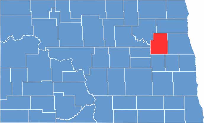
Nelson County location map of North Dakota
CategoryDetails
County NameNelson County
County SeatLakota
EtymologyNamed after Dakota territorial legislator Nelson E. Nelson
Cities, Towns, and CommunitiesLakota, McVille, Michigan, Tolna
Interstates and HighwaysNorth Dakota Highway 1, North Dakota Highway 54
FIPS Code38-063
Total Area1,188 square miles (land and water)
Adjacent CountiesWalsh County (Northeast), Grand Forks County (East), Steele County (Southeast), Griggs County (South), Eddy County (Southwest), Benson County (West), Ramsey County (Northwest)
Time ZoneCentral Time Zone
StateNorth Dakota
Coordinates48.3808° N, 98.2580° W
Major LandmarksNelson County Museum, Lake Alice
PopulationApproximately 3,000
Scroll to Top