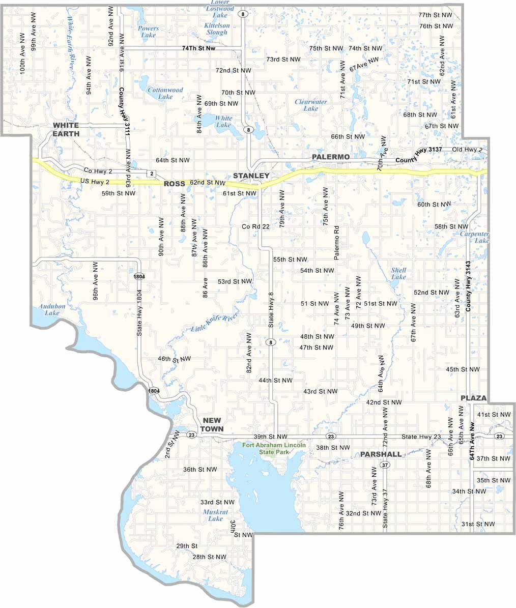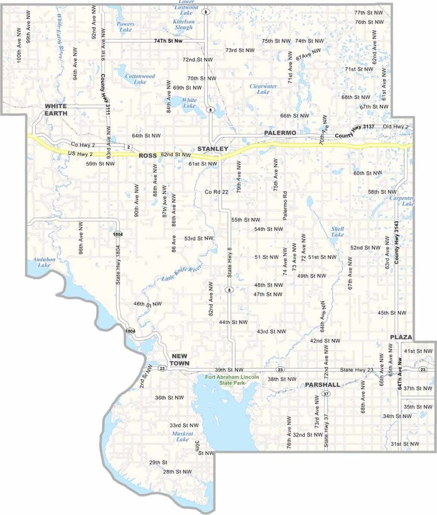
Mountrail County Map, North Dakota

Mountrail County, North Dakota

Mountrail County sits in northwestern North Dakota, with the Missouri River forming its southwestern border. The Bakken oil boom transformed this once-quiet farming region into a hub of activity.

Oil rigs now dot the landscape, but there's far more to the county than energy production. The northern shore of Van Hook Arm offers some of the best fishing and boating in the state.

Native American cultures thrived here for centuries, and pioneers later arrived in search of opportunity. Today, small towns and sprawling ranches share the land with modern energy infrastructure.
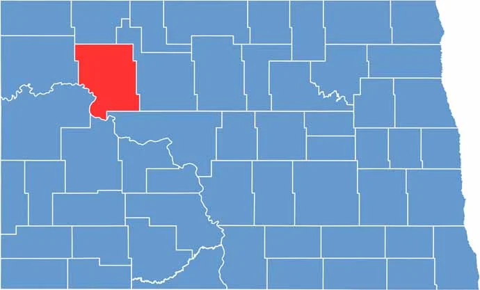
Mountrail County location map of North Dakota
CategoryDetails
County NameMountrail County
County SeatStanley
EtymologyNamed after Joseph Mountraille, Metis voyageur and early explorer
Cities, Towns, and CommunitiesStanley, New Town, Parshall, Ross
Interstates and HighwaysNorth Dakota Highway 23, North Dakota Highway 8
FIPS Code38-061
Total Area (Land and Water)1,945 square miles (land and water)
Adjacent Counties (and Direction)Burke County (North), Ward County (East), McLean County (Southeast), Dunn County (South), McKenzie County (Southwest), Williams County (West)
Time ZoneMountain Time Zone
StateNorth Dakota
Coordinates48.3483° N, 102.5100° W
Major LandmarksLake Sakakawea, Fort Union Trading Post National Historic Site
PopulationApproximately 12,500
Scroll to Top