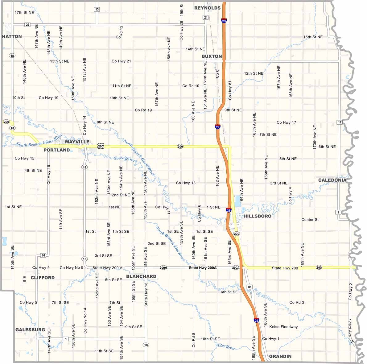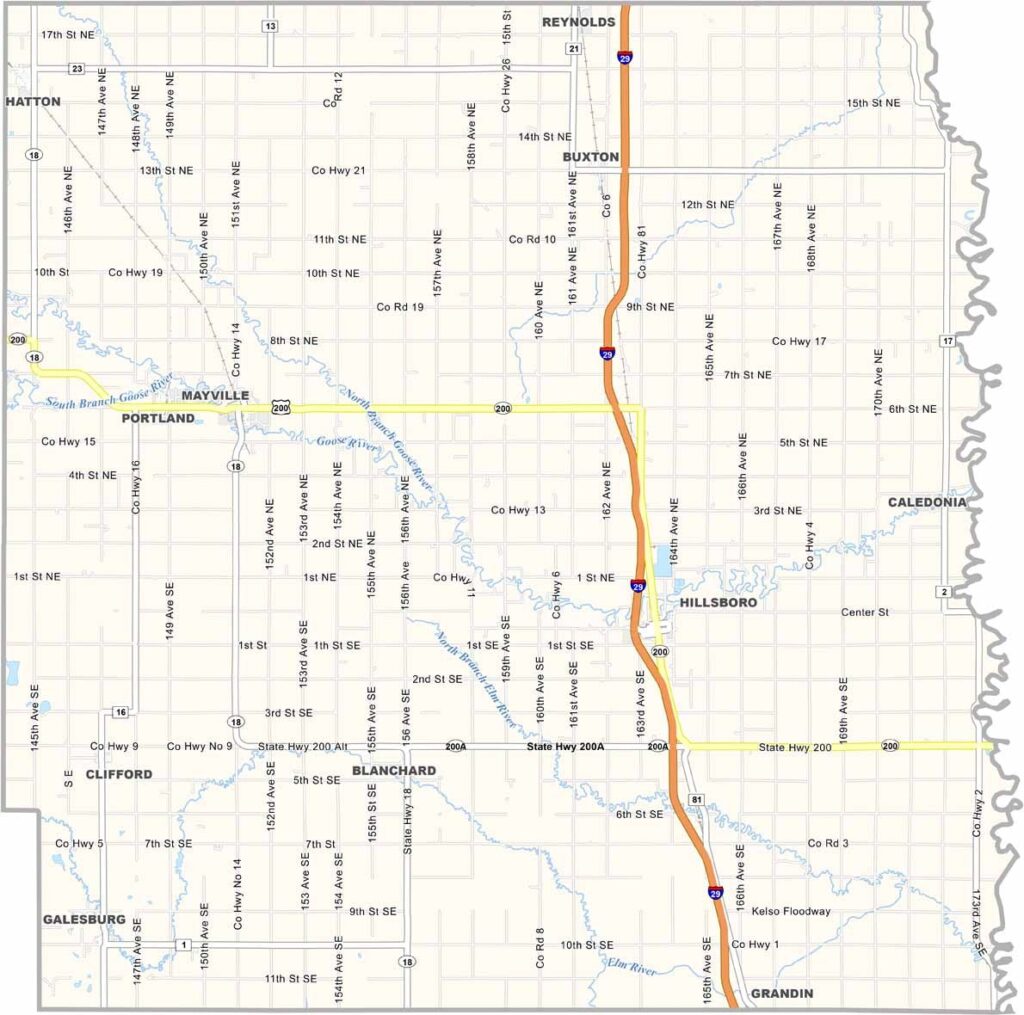
Traill County Map, North Dakota

Traill County, North Dakota

Traill County sits on the east side of North Dakota, bordering Minnesota. The Goose River meanders through the county, shaping a landscape that's great for hiking, while the Red River forms the eastern border.

This slice of eastern North Dakota has real character. Hillsboro is the county seat, and farmers here know their stuff, growing everything from soybeans to sugar beets.

Mayville State University is located in Mayville, a cozy place where everyone seems to know each other. Traill's history runs deep, with roots in the railroad boom. It's also perfect for fishing, camping, and simply soaking in nature.
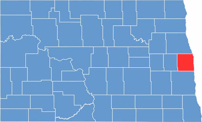
Traill County location map of North Dakota
CategoryDetails
County NameTraill County
County SeatHillsboro
EtymologyNamed after Walter John Strickland Traill, early settler
Cities, Towns, and CommunitiesHillsboro, Mayville, Portland, Reynolds
Interstates and HighwaysNorth Dakota Highway 18, North Dakota Highway 200
FIPS Code38-097
Total Area993 square miles (land and water)
Adjacent CountiesGrand Forks County (North), Polk County, Minnesota (Northeast), Norman County, Minnesota (East), Cass County (South), Steele County (West)
Time ZoneCentral Time Zone
StateNorth Dakota
Coordinates47.4275° N, 97.1546° W
Major LandmarksTraill County Historical Society Museum, Red River Valley Fairgrounds
PopulationApproximately 8,000
Scroll to Top