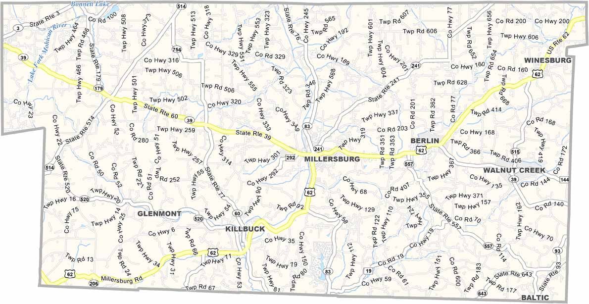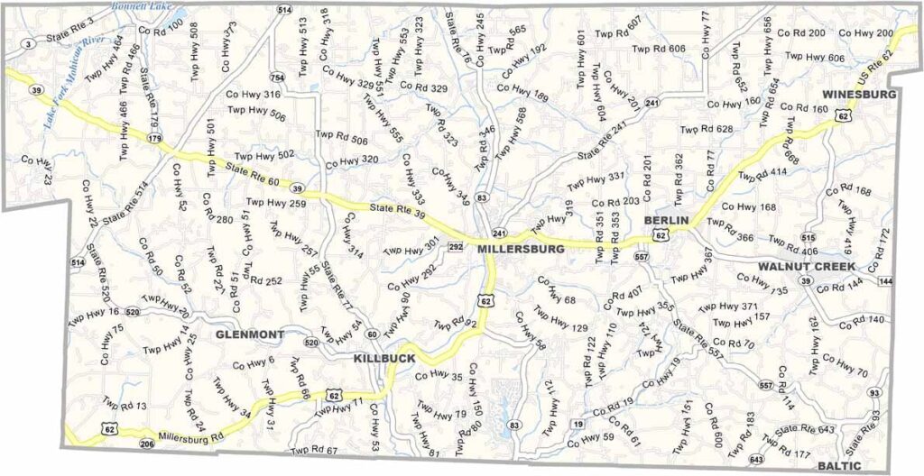
Holmes County Map, Ohio

Holmes County, Ohio

Holmes County sits right in the middle of Ohio’s Amish Country. Amish buggies and rolling hills are what come to mind when you think of Holmes County, and the place moves at its own pace.

Berlin and Millersburg are the main towns, but it’s the countryside that really shines. You’ll find some of the best handcrafted furniture anywhere here, and the food is pretty amazing too. Think homemade pies and cheese.

Farming is still a way of life for many, though tourism now plays a big role in the local economy. The Amish & Mennonite Heritage Center in Berlin showcases the local history, and hiking and biking trails crisscross the county. It’s a place that feels a world away from the city.
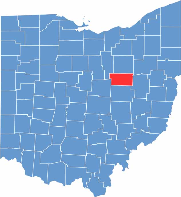

Holmes County location map of Ohio
CategoryDetails
County NameHolmes County
County SeatMillersburg
EtymologyNamed after Major Andrew Holmes, a War of 1812 officer
Cities, Towns, and CommunitiesMillersburg, Berlin, Walnut Creek, Winesburg
Interstates and HighwaysU.S. Highway 62, U.S. Highway 83, State Route 39
FIPS Code39-075
Total Area423 square miles (land and water)
Adjacent CountiesWayne County (North), Stark County (Northeast), Tuscarawas County (East), Coshocton County (South), Knox County (Southwest), Ashland County (Northwest)
Time ZoneEastern Time Zone
StateOhio
Coordinates40.5581° N, 81.9148° W
Major LandmarksAmish Country, Holmes County Historical Society Museum
PopulationApproximately 42,000
Scroll to Top