
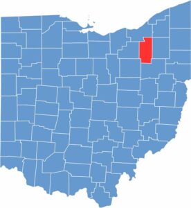
Summit County is located in northeast Ohio. Akron is the heart of the county, and the county's name comes from being the highest point along the Ohio and Erie Canal.
Goodyear Tire and Rubber Company was born here, and the polymer industry remains significant to this day. Visitors come to Cuyahoga Valley National Park, a green escape from city life.
The University of Akron is a STEM-focused institution. Stan Hywet Hall and Gardens showcases the region's industrial heritage. Summit County mixes urban amenities with natural beauty, making it a diverse and appealing area.
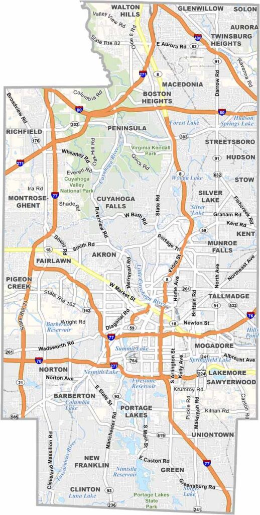
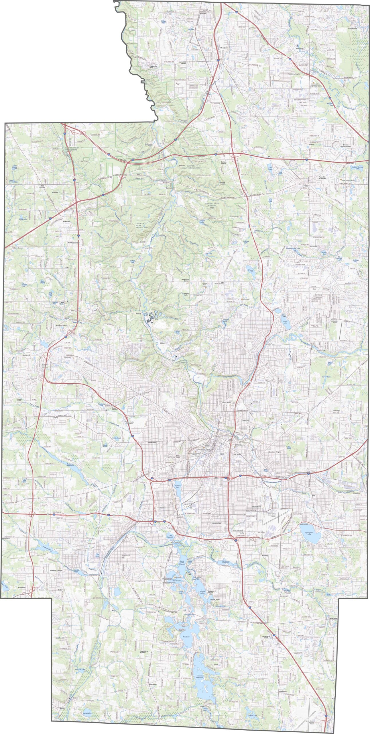
Summit County is crisscrossed with roads. Interstate 77, Interstate 76, and Interstate 271 all meet near Akron. U.S. Route 224 and State Route 8 add extra reach. Though traffic clogs up near the city, bypasses help. Zoom in to find every on-ramp and shortcut.
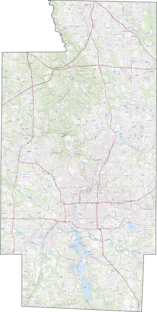
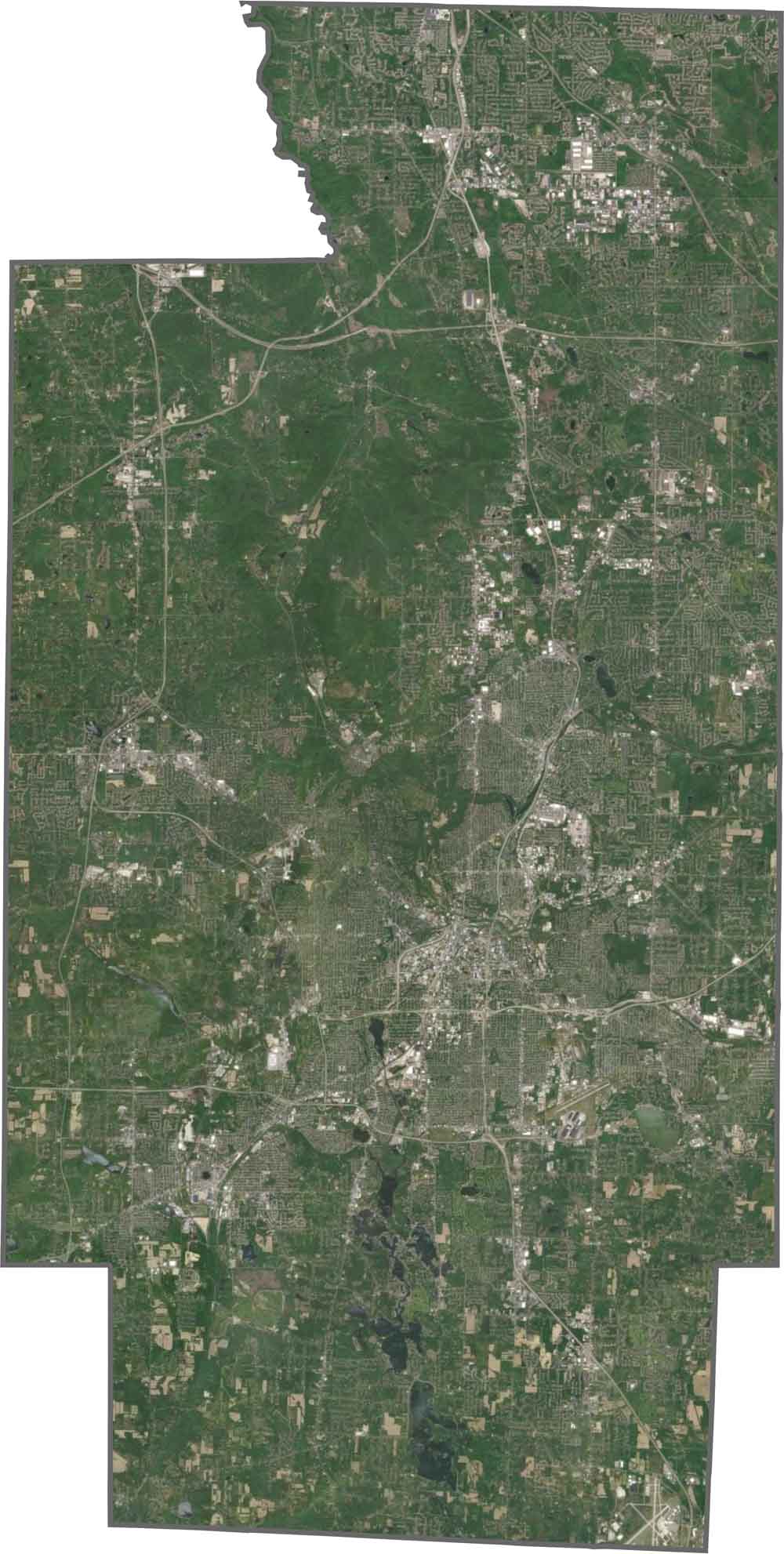
Akron dominates the view, but the Cuyahoga Valley cuts through. You'll see forest, rivers, and even some small mountains of suburban development. Toward the south and west, things flatten out, but the northeast holds onto its curves.
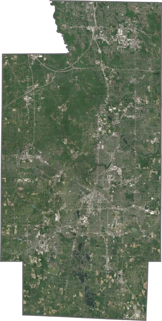
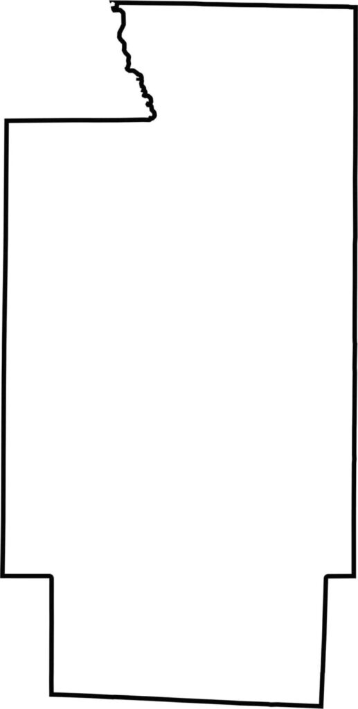
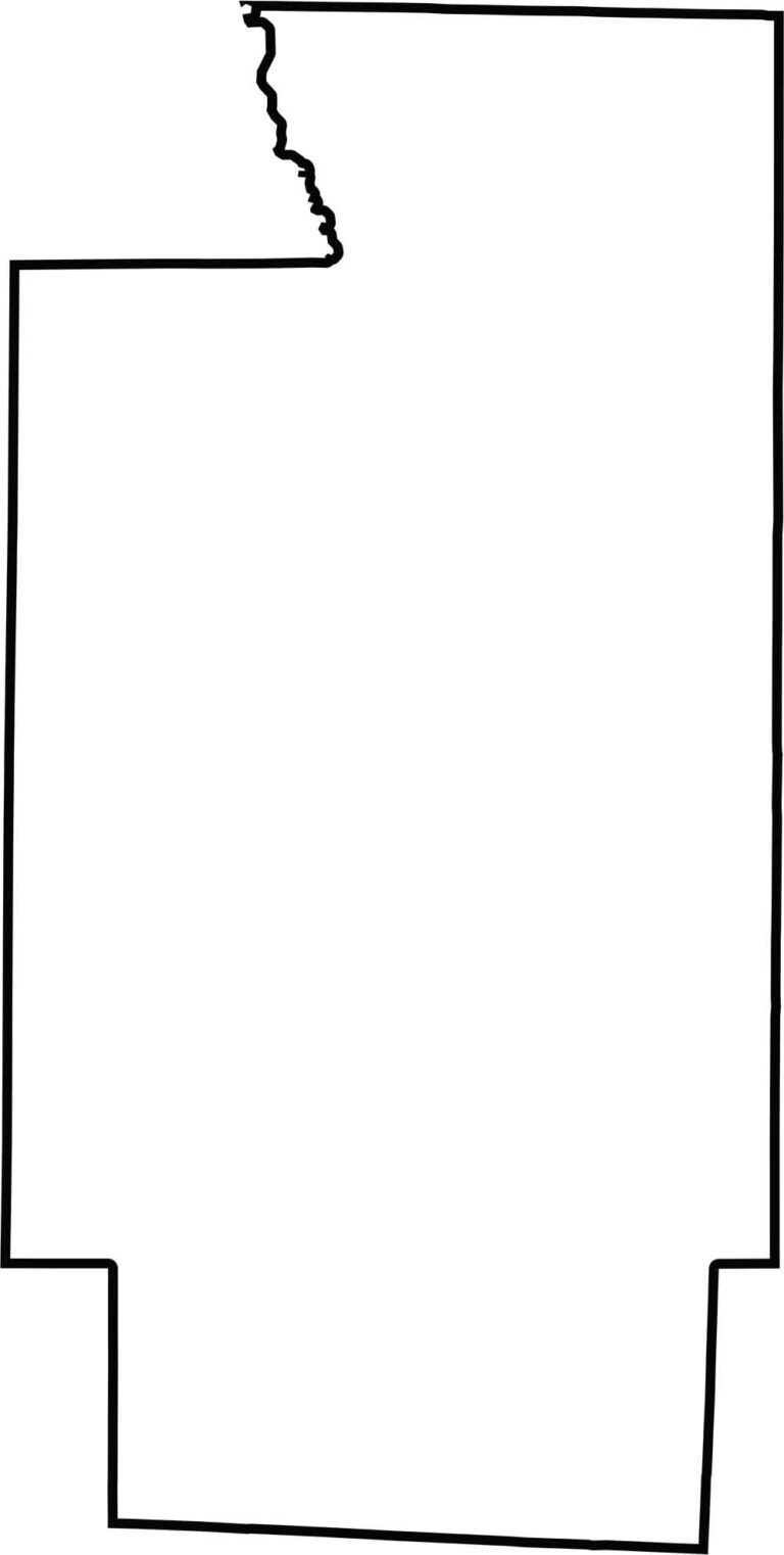
Summit County has a chunky, uneven shape, like a block that's been chipped away at. It's long in the top-down direction. The shape is a bit quirky, but unmistakable.








Forget the coast. Ohio’s 88 counties are where everyday America comes alive. No pretense, no postcard perfection—just hardworking towns and quiet backroads that grow on you. This is the Midwest without the filter.