
Trumbull County is in Northeast Ohio, with Warren as its county seat. Though the city has faced challenges, it's working on a comeback. The Packard Music Hall hosts concerts and events that bring the community together.
Anyone who loves the outdoors enjoys Mosquito Lake State Park, popular for fishing and boating. The county has a rich industrial history, with General Motors once being a major employer.
Today, the economy is more diverse, with healthcare and education playing bigger roles. Car folks appreciate the National Packard Museum in Warren, which celebrates the area's automotive heritage.
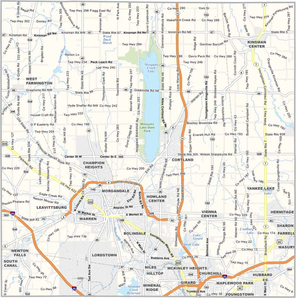
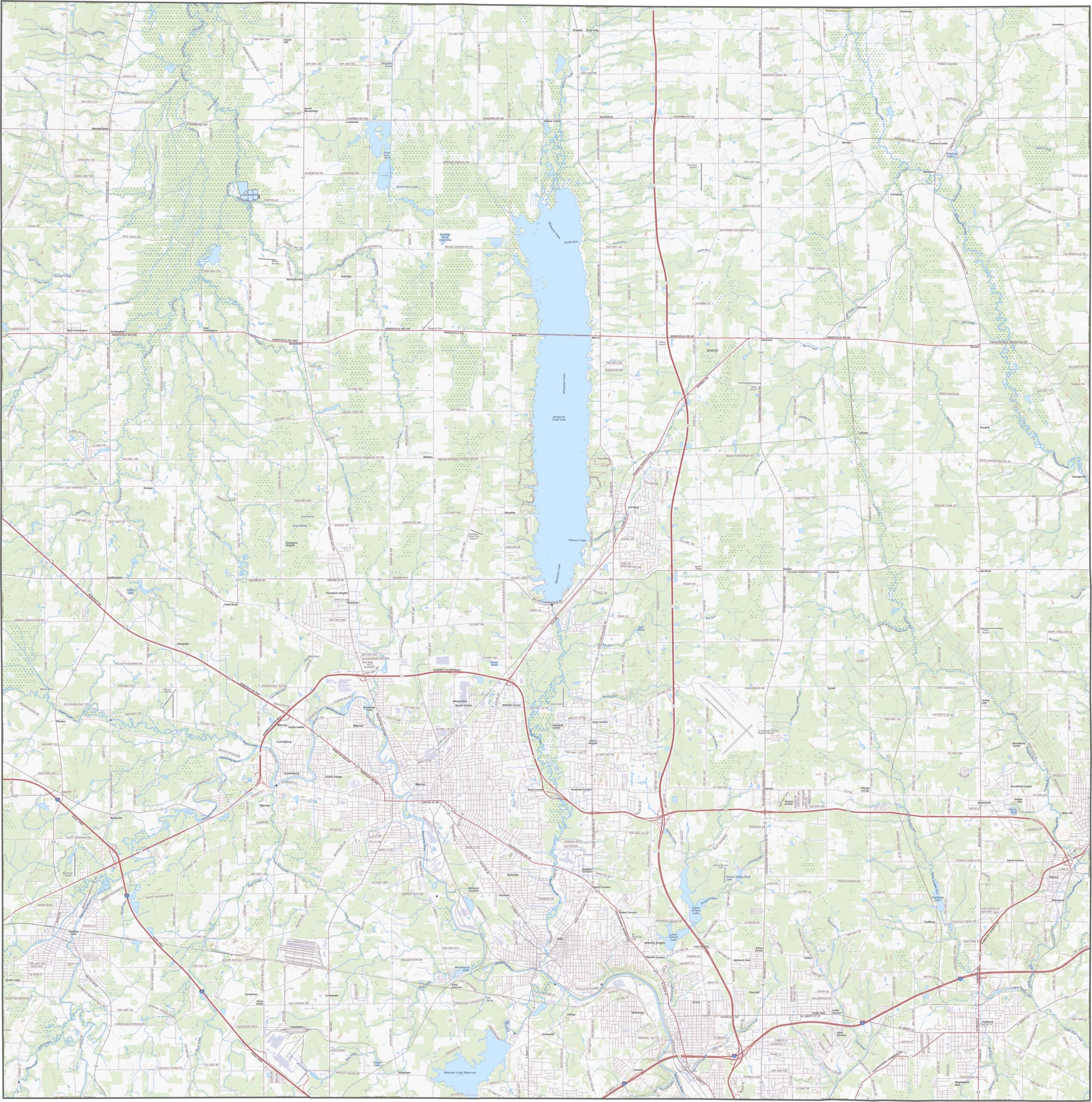
Trumbull County has a sophisticated network of roads. Interstate 80, U.S. Route 422, and Route 7 are some of the most important ones, but even so, travel stays fairly smooth. Smaller highways fill in the gaps. Use our zoom tool to follow each one clearly.
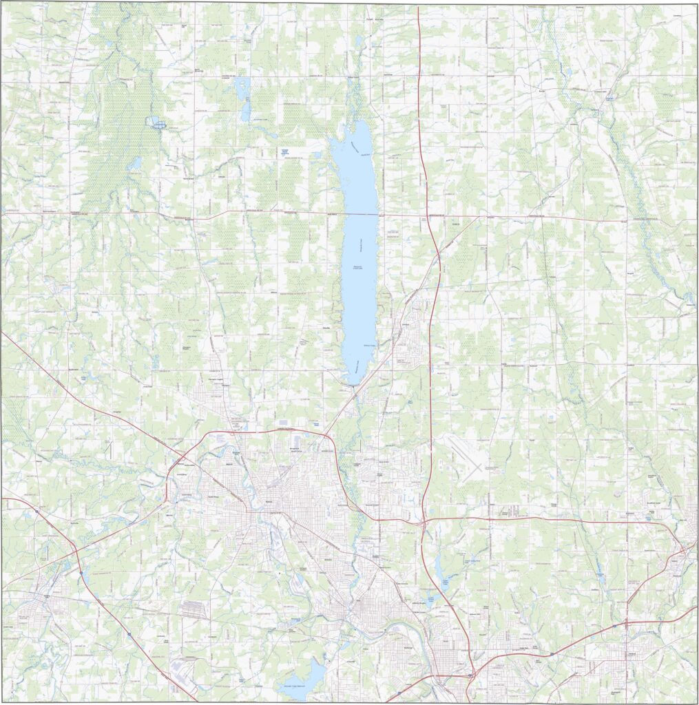
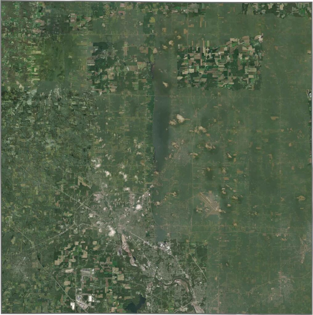
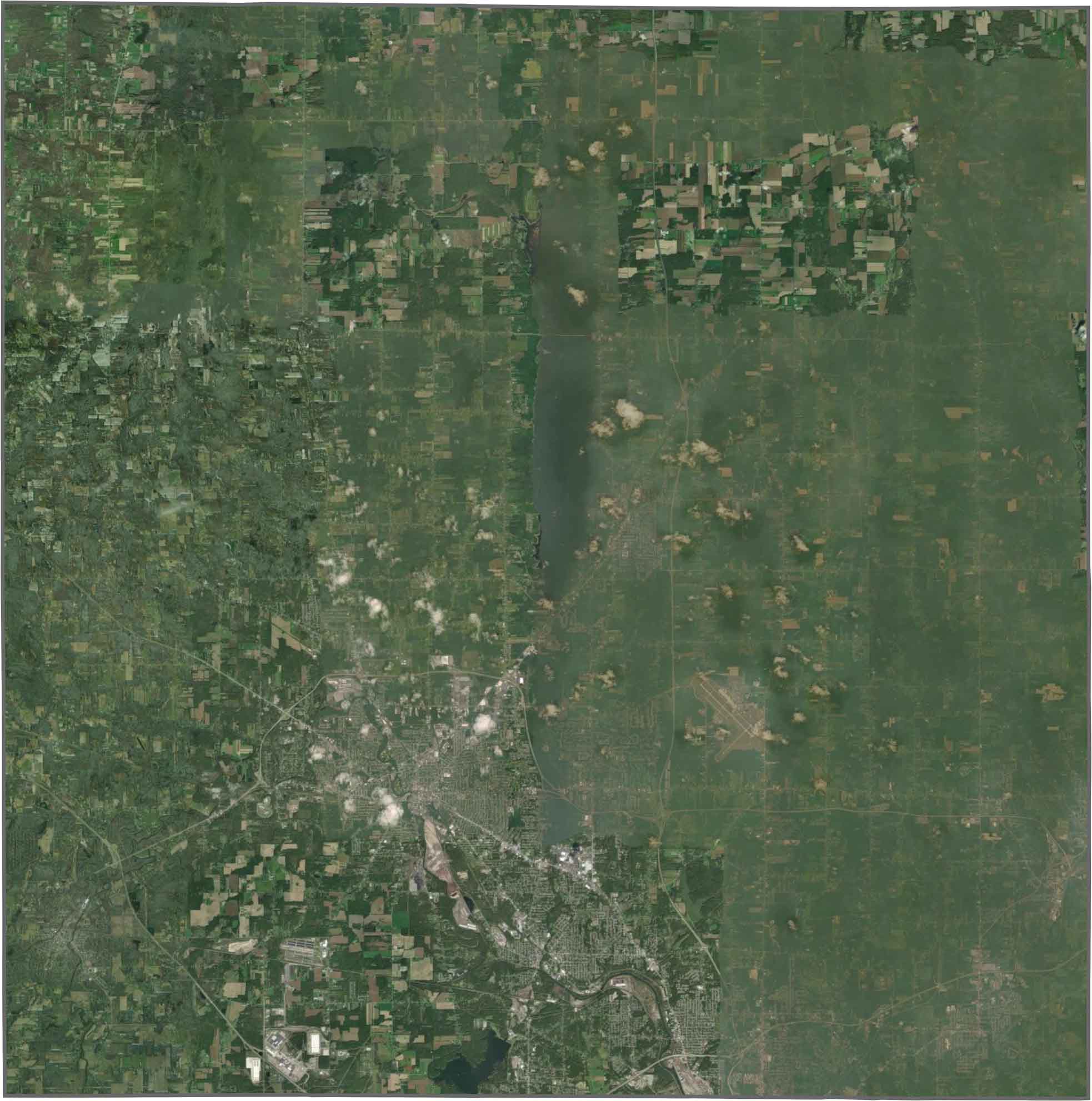
From above, Warren stands out with tight blocks and busy roads. But much of the county is green, with wide stretches of farmland, scattered woods, and Mosquito Lake's wide blue surface. Though development is visible, nature holds its ground.
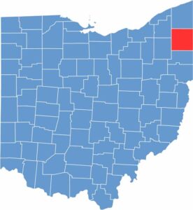
Trumbull County hugs Ohio's northeastern edge. Its eastern border is also the state line, shared with Pennsylvania. The shape is mostly square. Actually, it's pretty darn close to a perfect square.










Forget the coast. Ohio’s 88 counties are where everyday America comes alive. No pretense, no postcard perfection—just hardworking towns and quiet backroads that grow on you. This is the Midwest without the filter.