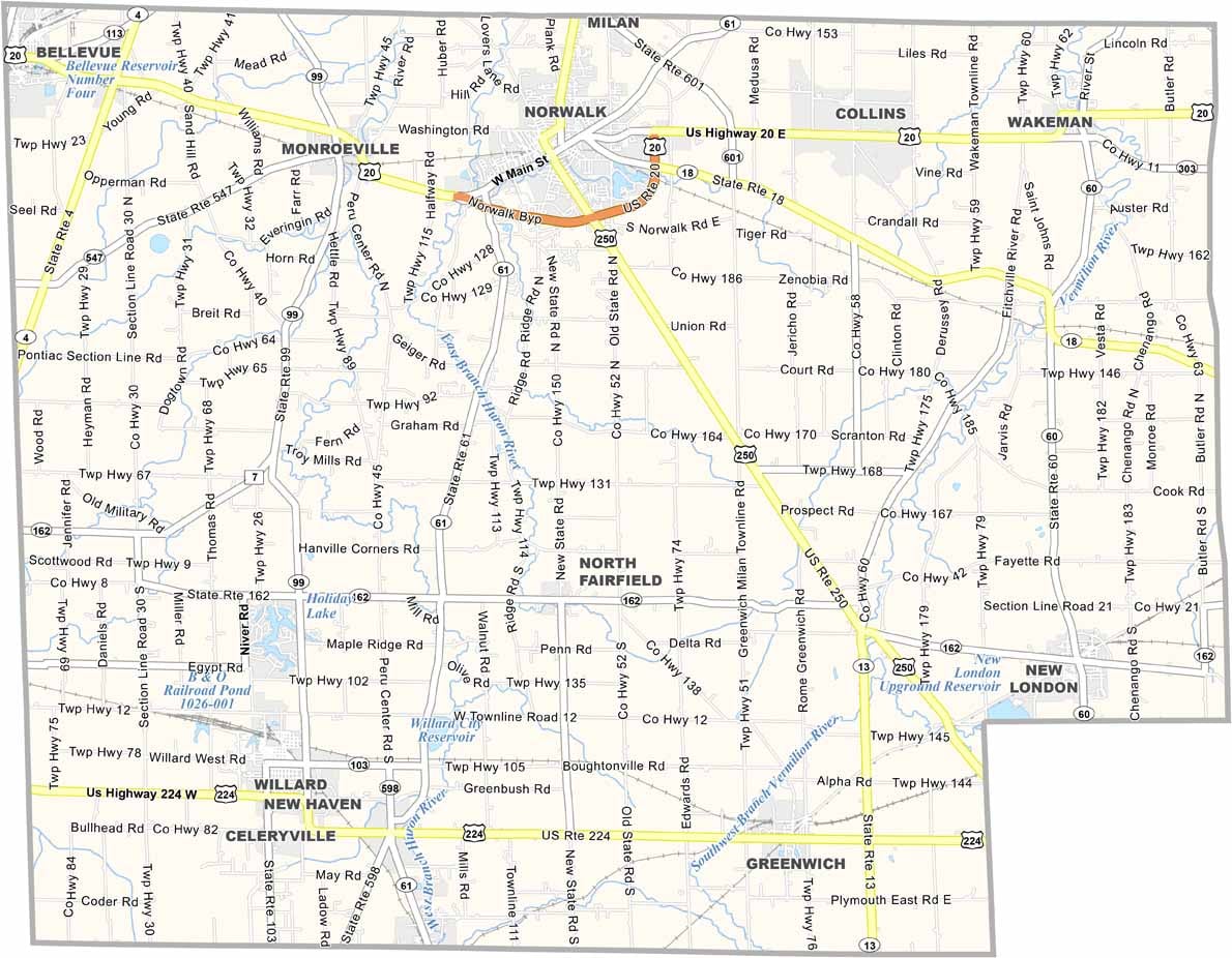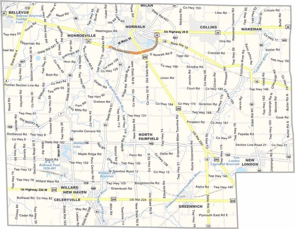
Huron County Map, Ohio

Huron County, Ohio

Huron County sits right in the heart of north-central Ohio. Norwalk is the county seat and biggest town, and this place has a bit of everything, from plenty of farmland to some solid industry.

Norwalk Raceway Park draws speed demons from all over, though I’ve seen classic cars here too. Visitors dig the Firelands Museum in Norwalk, which has some cool stuff from the area’s early days.

Milan is Thomas Edison’s birthplace, and his childhood home is now a museum. The Huron County Fair is a big deal every August. Outdoor types head to the Huron River for kayaking or fishing, and you’ll find some nice parks scattered around too.
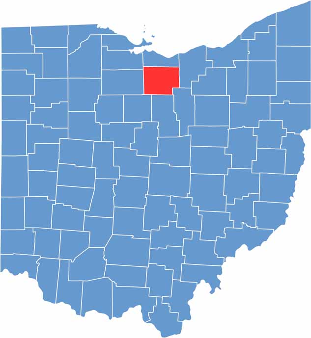

Huron County location map of Ohio
CategoryDetails
County NameHuron County
County SeatNorwalk
EtymologyNamed after the Huron River, reflecting early Native American influence
Cities, Towns, and CommunitiesNorwalk, Willard, Bellevue, New London
Interstates and HighwaysU.S. Highway 20, U.S. Highway 250, State Route 18
FIPS Code39-077
Total Area491 square miles (land and water)
Adjacent CountiesErie County (North), Lorain County (East), Ashland County (Southeast), Richland County (South), Crawford County (Southwest), Seneca County (West), Sandusky County (Northwest)
Time ZoneEastern Time Zone
StateOhio
Coordinates41.2243° N, 82.6132° W
Major LandmarksSawmill Creek Golf Course, Huron County Fairgrounds
PopulationApproximately 60,000
Scroll to Top