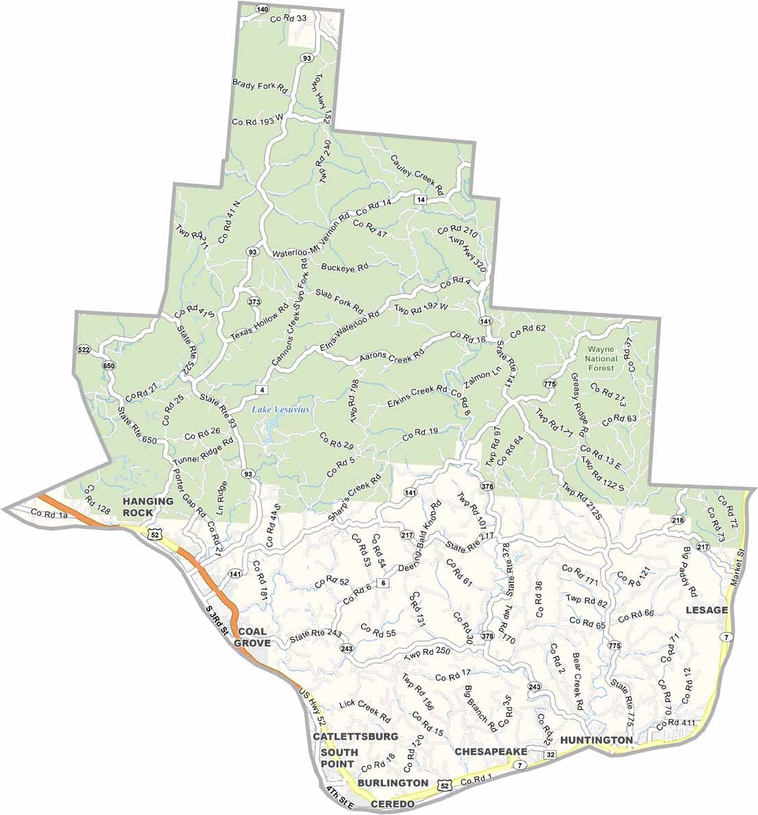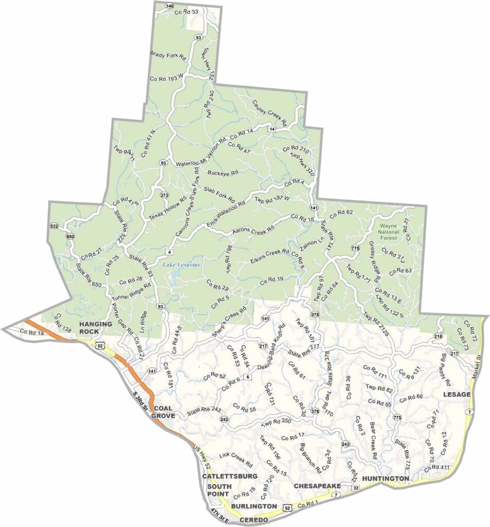
Lawrence County Map, Ohio

Lawrence County, Ohio

Lawrence County lies in the southernmost tip of Ohio, hugging the Ohio River right where Kentucky and West Virginia meet. This place has grit. The county has seen its share of hard times, but the folks here are resilient.

Ironton, the county seat, was once a major iron-producing center. Those days are gone, but the city is still standing strong. Waterloo is a small town known for its legendary high school basketball team from the 1930s.

Lawrence County is full of recreation, like Wayne National Forest, which covers the northern half of the county. It’s also home to a surprising amount of history, and you can still see remnants of the Underground Railroad here.
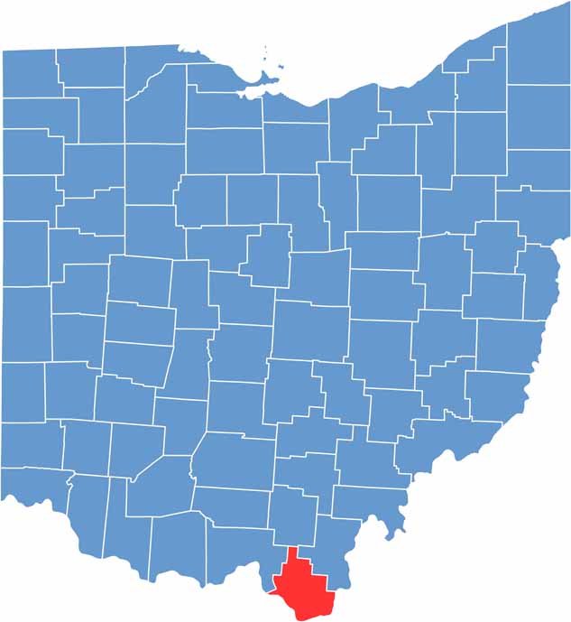

Lawrence County location map of Ohio
CategoryDetails
County NameLawrence County
County SeatIronton
EtymologyNamed after Captain James Lawrence, naval hero in the War of 1812
Cities, Towns, and CommunitiesIronton, South Point, Proctorville, Coal Grove
Interstates and HighwaysU.S. Highway 52, U.S. Highway 23, State Route 7
FIPS Code39-087
Total Area463 square miles (land and water)
Adjacent CountiesJackson County (North), Gallia County (Northeast), Cabell County, West Virginia (Southeast), Wayne County, West Virginia (South), Boyd County, Kentucky (Southwest), Greenup County, Kentucky (Southwest), Scioto County (Northwest)
Time ZoneEastern Time Zone
StateOhio
Coordinates38.5583° N, 82.6789° W
Major LandmarksLawrence County Courthouse, Lake Vesuvius
PopulationApproximately 60,000
Scroll to Top