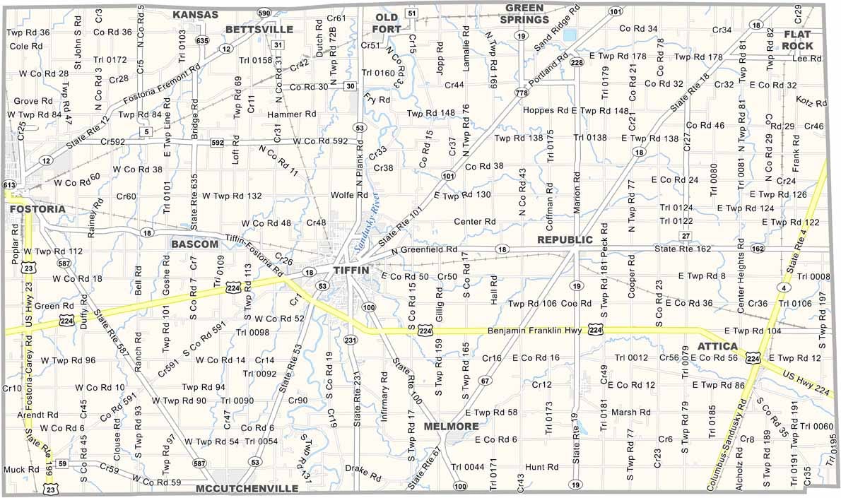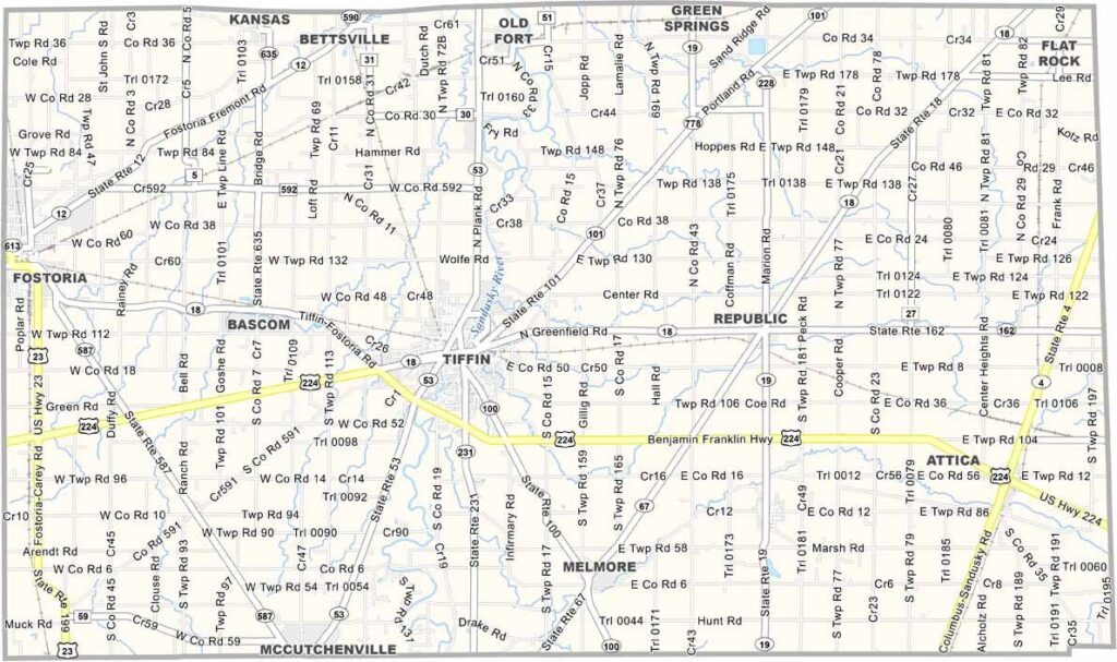
Seneca County Map, Ohio

Seneca County, Ohio

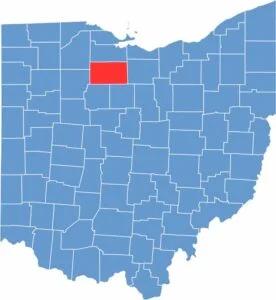
North-central Ohio is where Seneca County calls home. Tiffin is the county seat, but Fostoria is another major city. Heidelberg University and Tiffin University are the major colleges in this area.

Named after the Seneca Indians, the county’s landscape is dominated by farming. Like most of Ohio, corn and soybeans are major crops, and there is some ranching too.

For those seeking adventure, the Seneca Caverns offer exciting underground explorations. Anyone who loves the outdoors often heads to the Sandusky River, one of the most popular spots for fishing in the country.

CategoryDetails
County NameSeneca County
County SeatTiffin
EtymologyNamed after the Seneca tribe of Native Americans
Cities, Towns, and CommunitiesTiffin, Fostoria, Bettsville, Republic
Interstates and HighwaysU.S. Highway 224, U.S. Highway 18, State Route 53
FIPS Code39-147
Total Area557 square miles (land and water)
Adjacent CountiesSandusky County (North), Huron County (East), Crawford County (Southeast), Wyandot County (Southwest), Hancock County (West), Wood County (Northwest)
Time ZoneEastern Time Zone
StateOhio
Coordinates41.1134° N, 83.1787° W
Major LandmarksSeneca County Courthouse, Tiffin University
PopulationApproximately 55,000
Scroll to Top