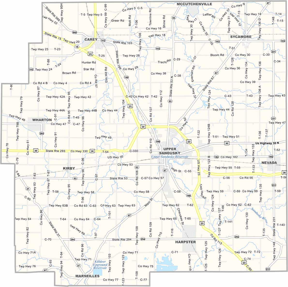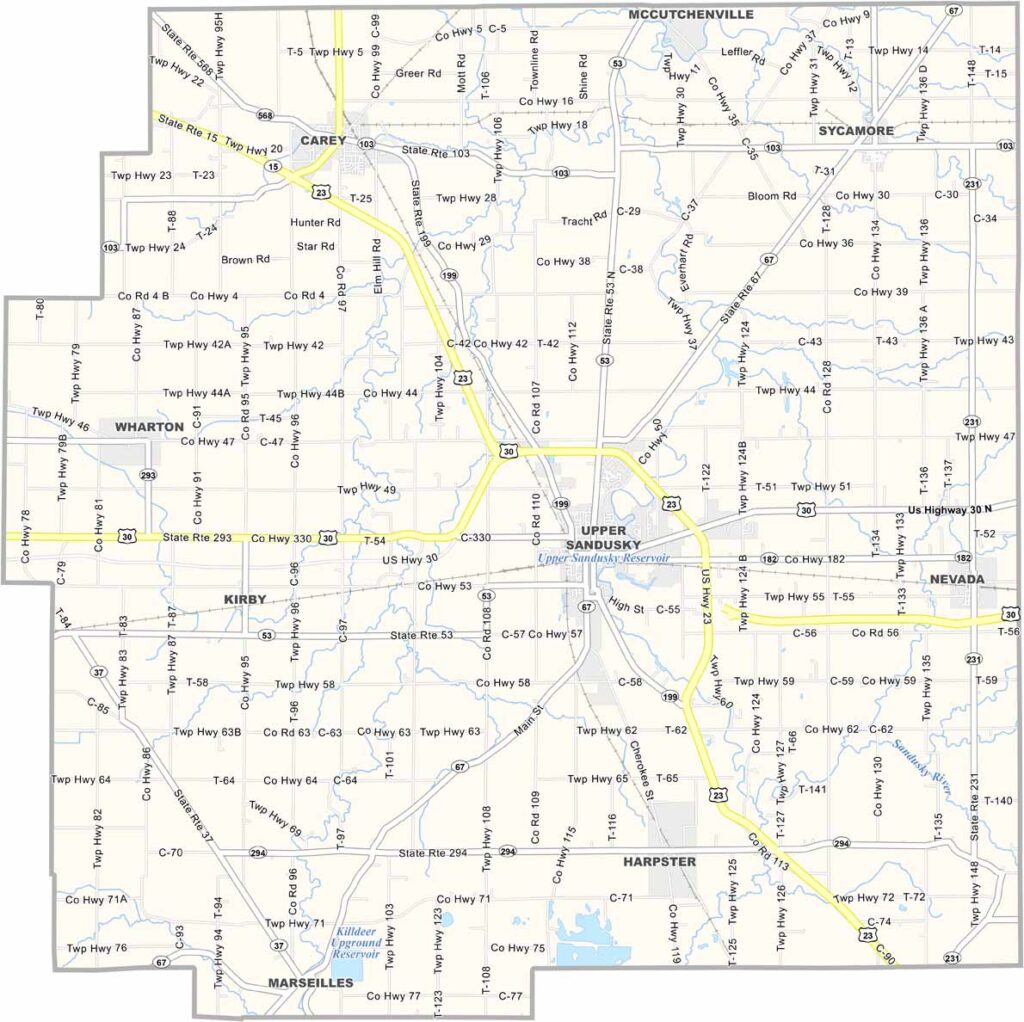
Wyandot County Map, Ohio

Wyandot County, Ohio

Wyandot County is located in north-central Ohio and takes its name from the Wyandot Native American tribe. Upper Sandusky serves as the county seat. But don’t let the name fool you—it isn’t actually north of Sandusky.

The county has a fascinating history. The Wyandot Mission Church, considered the last Indian mission in Ohio, is located here. Agriculture remains a major part of life, and the annual Wyandot County Fair is a popular local event.

The Lincoln Highway, one of America’s first transcontinental roads, runs through the county. It’s a place where you can get a real feel for small-town Midwest life. Wyandot County may be quiet, but it has plenty of stories to tell.
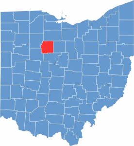

Wyandot County location map of Ohio
CategoryDetails
County NameWyandot County
County SeatUpper Sandusky
EtymologyNamed after the Wyandot Native American tribe
Cities, Towns, and CommunitiesUpper Sandusky, Carey, Harpster, Sycamore
Interstates and HighwaysU.S. Highway 23, U.S. Highway 30, State Route 199
FIPS Code39-175
Total Area405 square miles (land and water)
Adjacent CountiesSeneca County (North), Crawford County (East), Marion County (South), Hardin County (Southwest), Hancock County (Northwest)
Time ZoneEastern Time Zone
StateOhio
Coordinates40.8415° N, 83.2920° W
Major LandmarksWyandot County Museum, The Sandusky River
PopulationApproximately 30,000
Scroll to Top