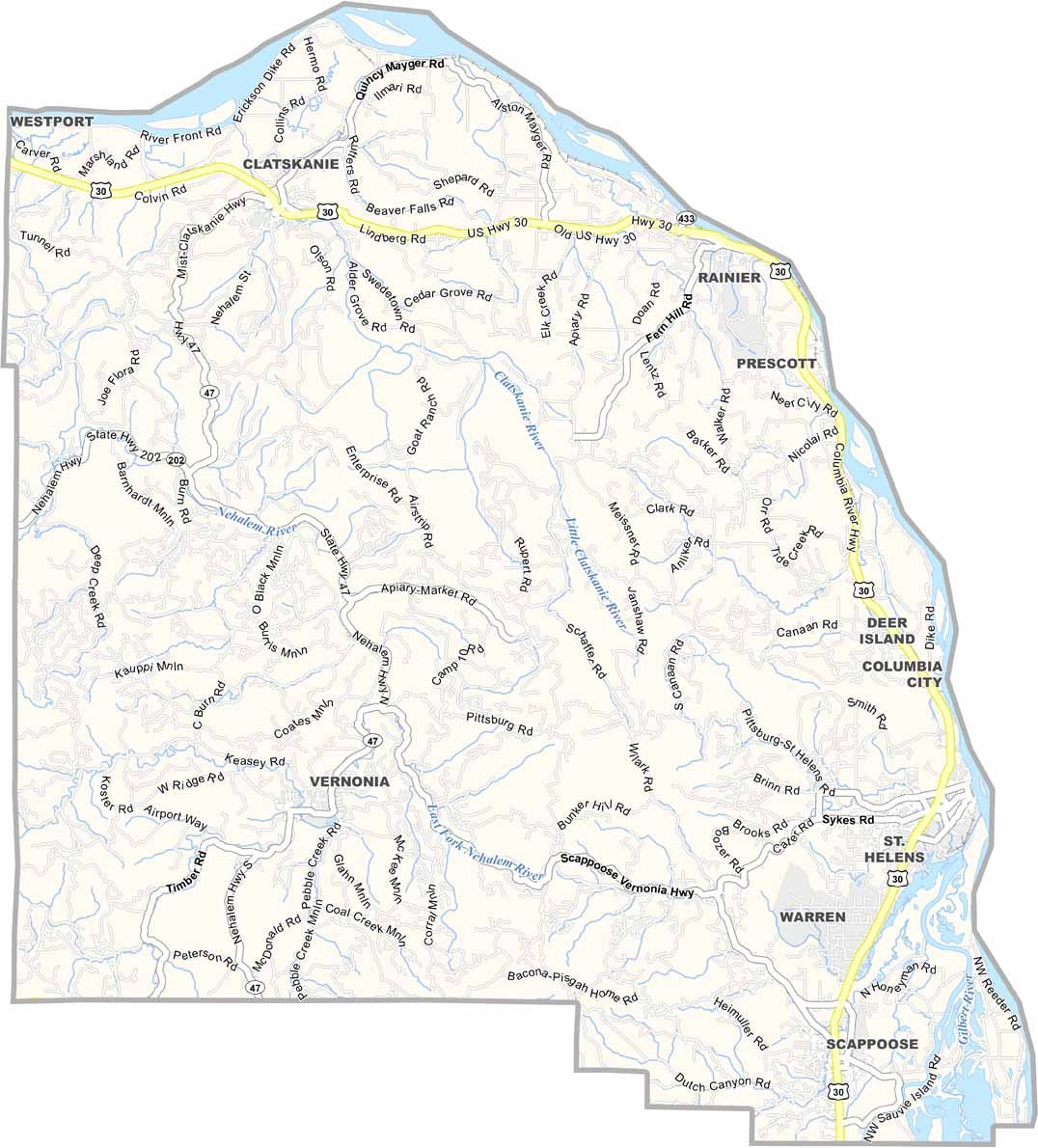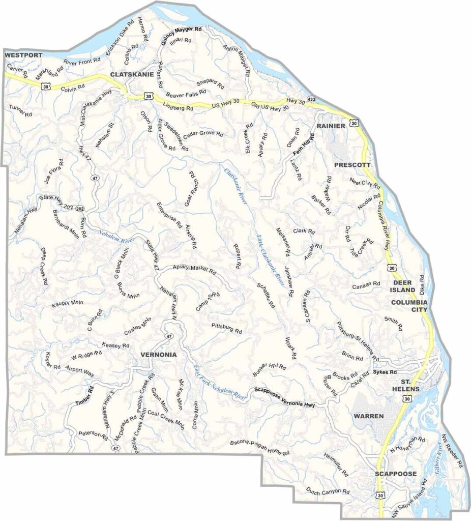
Columbia County Map, Oregon

Columbia County, Oregon

Columbia County lies in northwest Oregon, bordering the state of Washington. The Columbia River forms its northern border and connects the county to the Pacific Ocean. Scappoose, St. Helens, and Vernonia make up a triangle of timber towns working to reinvent themselves.

Visitors come for the Crown Zellerbach Trail, a rails-to-trails route more than 20 miles long that cuts through the heart of the county. The western edge dips into the Coast Range, where hills and hollows are perfect for exploration.

Columbia County is where Portland commuters and old-school loggers coexist, sometimes uneasily. It is a place in transition, holding onto its roots while reaching for new opportunities. And no visit is complete without the annual Scappoose Sauerkraut Festival, because nothing says "party" like fermented cabbage.
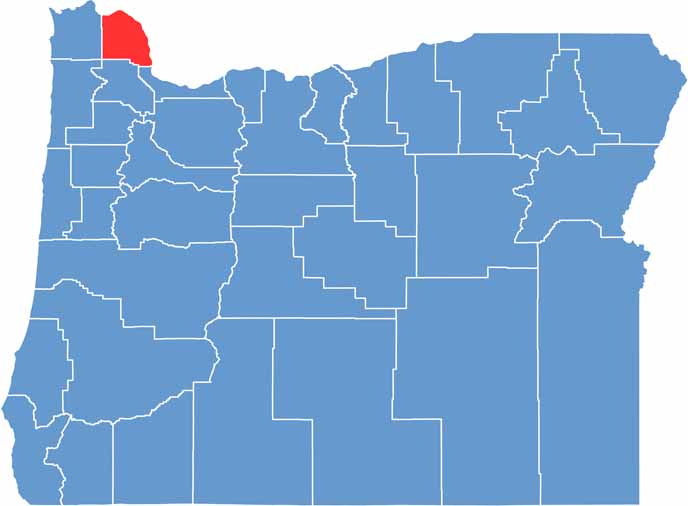

Location map of Columbia County, Oregon
CategoryDetails
County NameColumbia County
County SeatSt. Helens
EtymologyNamed after the Columbia River, which forms its northern border
Cities, Towns, and CommunitiesSt. Helens, Scappoose, Rainier, Vernonia, Clatskanie, Columbia City
Interstates and HighwaysU.S. Highway 30, State Highway 47
FIPS Code41-009
Total Area (Land and Water)688 square miles (657 sq mi land, 31 sq mi water)
Adjacent Counties (and Direction)Wahkiakum County, Washington (Northwest), Cowlitz County, Washington (Northeast), Clark County, Washington (East), Multnomah County (Southeast), Washington County (South), Clatsop County (West)
Time ZonePacific Time Zone (PST)
StateOregon
Coordinates45°56’N, 123°09’W
Major LandmarksColumbia River, Sauvie Island, Scappoose Bay, Nehalem River Scenic Byway
PopulationApproximately 54,000
Scroll to Top