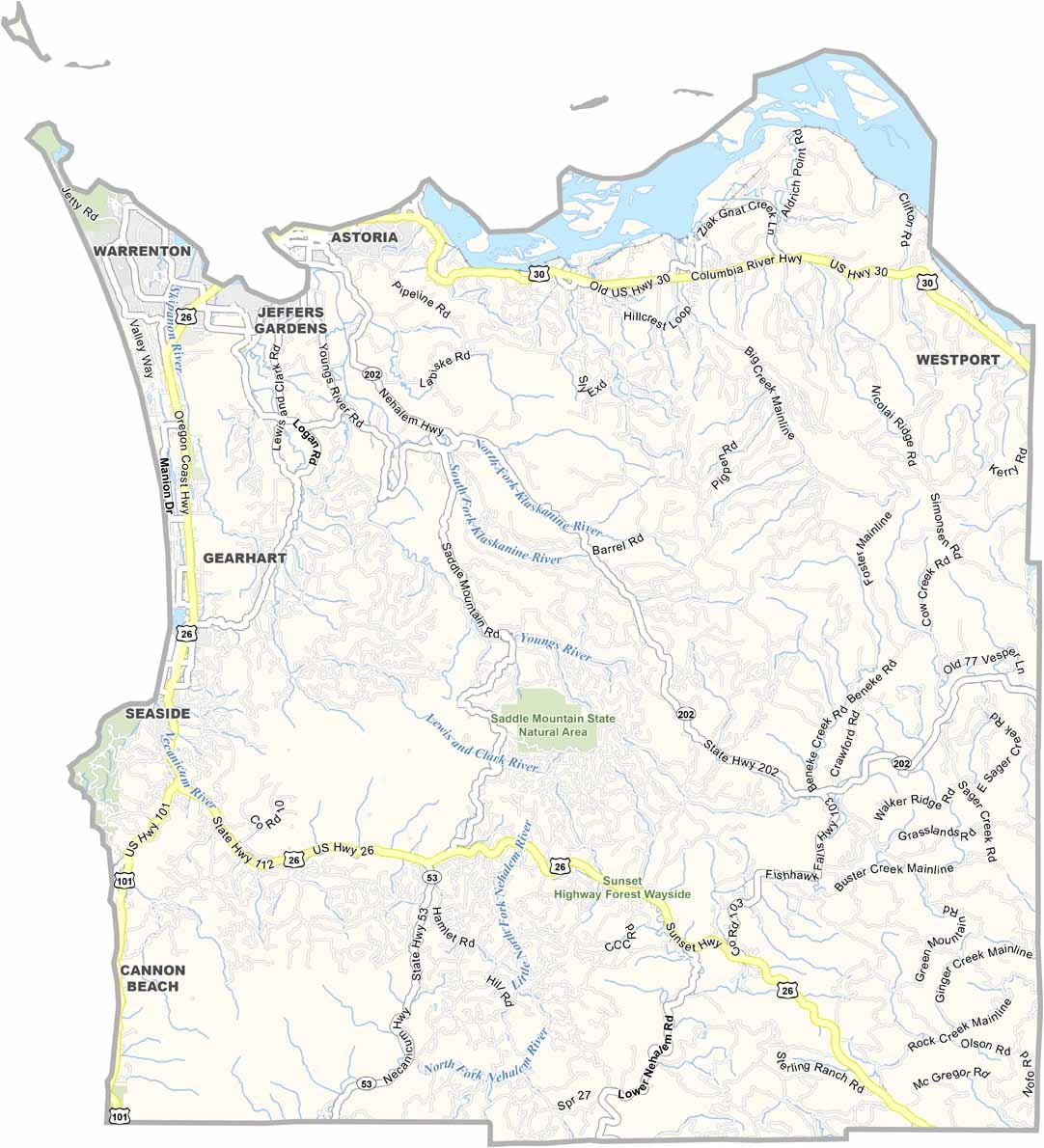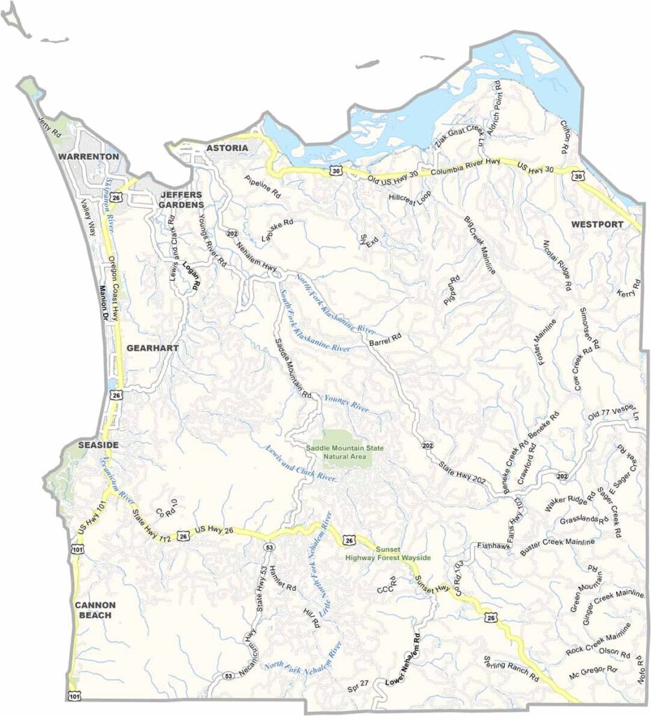
Clatsop County Map, Oregon

Clatsop County, Oregon

Clatsop County sits on the northwestern tip of Oregon, bordering the state of Washington. It is where Lewis and Clark first caught sight of the Pacific. Today it is a favorite escape for Portlanders looking to leave the rain behind, which is ironic, since it is even wetter here.

Astoria, the county seat, clings to steep hills overlooking the Columbia River, and it is a place where fishing boats and cruise ships share the same waters. The beach town of Seaside draws big summer crowds, while Cannon Beach offers a more laid-back vibe.

Inland, Clatsop State Forest is a green playground for hikers, hunters, and mushroom foragers. Fort Stevens guards the mouth of the Columbia at the northeastern edge. Logging and fishing built the area, but tourism keeps the lights on today.
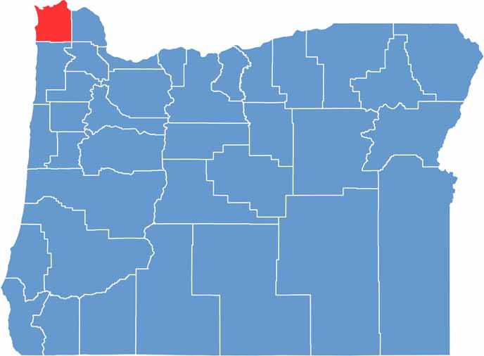

Location map of Clatsop County, Oregon
CategoryDetails
County NameClatsop County
County SeatAstoria
EtymologyNamed after the Clatsop tribe of Native Americans
Cities, Towns, and CommunitiesAstoria, Seaside, Warrenton, Cannon Beach, Gearhart, Arch Cape
Interstates and HighwaysU.S. Highway 101, State Highway 26
FIPS Code41-007
Total Area (Land and Water)1,084 square miles (829 sq mi land, 255 sq mi water)
Adjacent Counties (and Direction)Washington County (North), Wahkiakum County, Washington (North), Columbia County (East), Tillamook County (South)
Time ZonePacific Time Zone (PST)
StateOregon
Coordinates46°01’N, 123°42’W
Major LandmarksLewis and Clark National Historical Park, Fort Clatsop, Haystack Rock, Astoria Column
PopulationApproximately 42,000
Scroll to Top