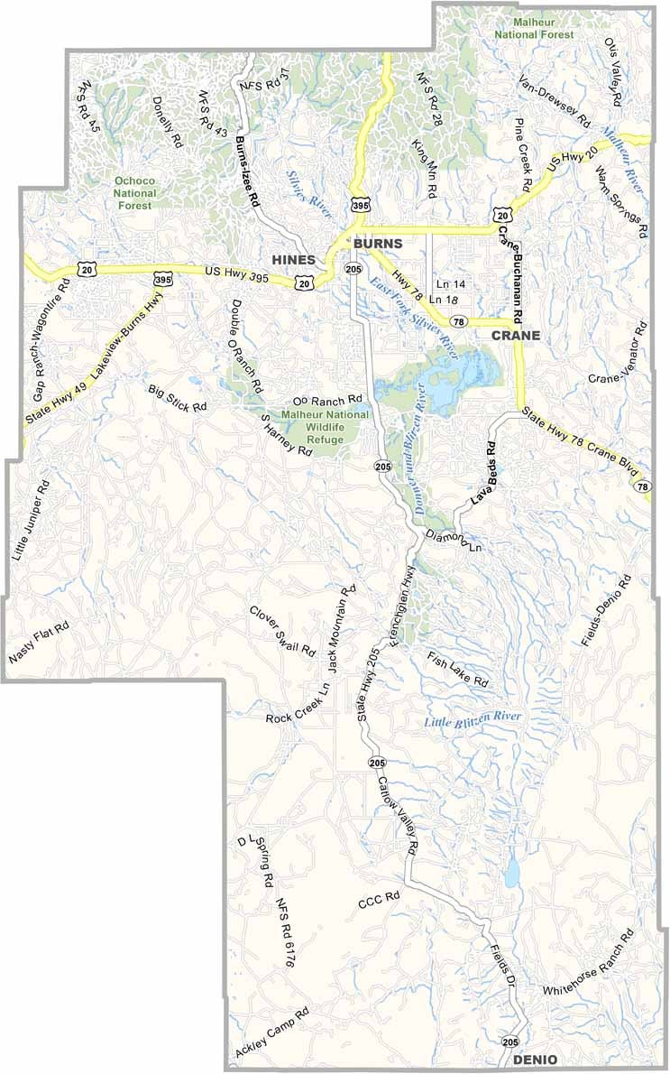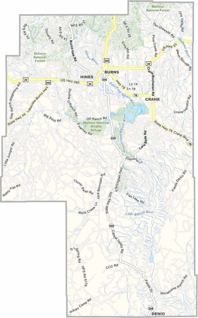
Harney County Map, Oregon

Harney County, Oregon

Harney County covers a massive chunk of southeastern Oregon, and it is seriously empty and seriously beautiful. This is high desert country, with sagebrush plains stretching on forever.

Steens Mountain, a huge fault-block ridge, looms on the horizon. Migratory birds flock to Malheur National Wildlife Refuge by the millions, and Burns serves as the county seat.

Cattle outnumber humans here by a long shot. Winters are tough, and summers are short but glorious. It is the kind of place that gets under your skin, with wide open spaces and communities few and far between.
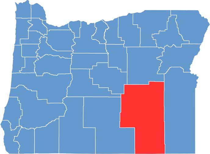

Location map of Harney County, Oregon
CategoryDetails
County NameHarney County
County SeatBurns
EtymologyNamed after William S. Harney, a U.S. Army officer
Cities, Towns, and CommunitiesBurns, Hines, Crane, Fields
Interstates and HighwaysU.S. Highway 20, U.S. Highway 395
FIPS Code41-025
Total Area (Land and Water)10,226 square miles (10,133 sq mi land, 93 sq mi water)
Adjacent Counties (and Direction)Crook County (Northwest), Grant County (North), Malheur County (East), Humboldt County, Nevada (South), Washoe County, Nevada (Southwest), Lake County (West), Deschutes County (Northwest)
Time ZonePacific Time Zone (PST)
StateOregon
Coordinates43°00’N, 119°05’W
Major LandmarksMalheur National Wildlife Refuge, Steens Mountain, Alvord Desert, Hart Mountain National Antelope Refuge
PopulationApproximately 7,500
Scroll to Top