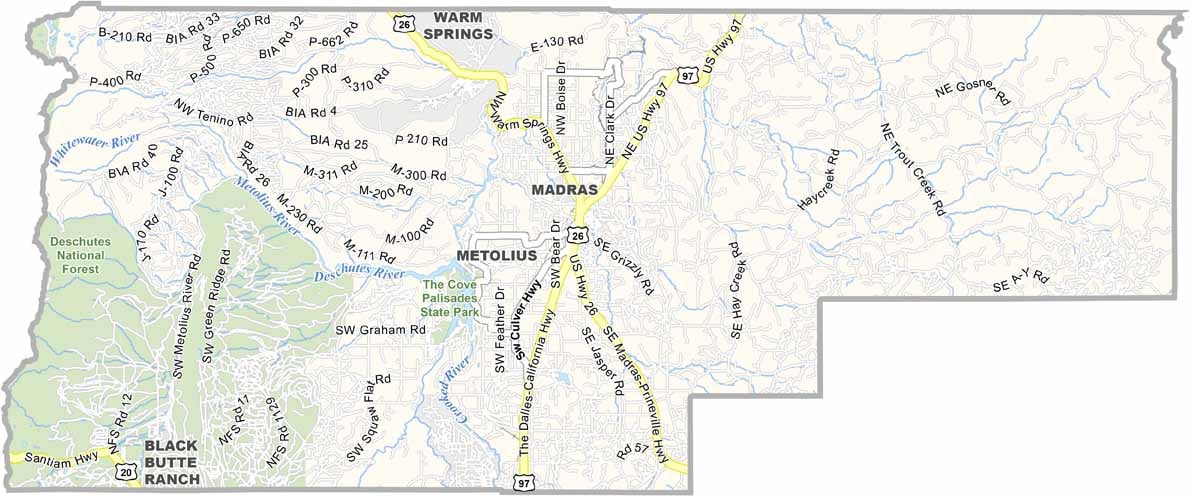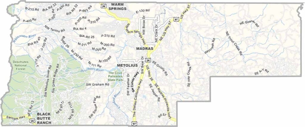
Jefferson County Map, Oregon

Jefferson County, Oregon

Jefferson County sits in the middle of Oregon, where the high desert meets the Cascade Mountains. It is a place of stark beauty and rugged landscapes, and Madras serves as the county seat.

Locals love their outdoor adventures, with fishing, hiking, and rock climbing among the favorite pastimes. Deschutes National Forest covers the southwest. Summers are hot and dry and winters can be harsh, but the views are always spectacular.

The Warm Springs Indian Reservation covers a large chunk of the county. Whether you're into history, nature, or just want to escape the city, Jefferson County has something for you. It is Oregon in a nutshell: diverse, beautiful, and a little bit wild.
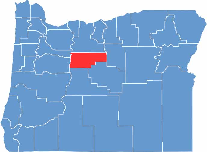

Location map of Jefferson County, Oregon
CategoryDetails
County NameJefferson County
County SeatMadras
EtymologyNamed after President Thomas Jefferson
Cities, Towns, and CommunitiesMadras, Metolius, Culver, Warm Springs
Interstates and HighwaysU.S. Highway 26, U.S. Highway 97, State Highway 361
FIPS Code41-031
Total Area (Land and Water)1,791 square miles (1,781 sq mi land, 10 sq mi water)
Adjacent Counties (and Direction)Marion County (Northwest), Wasco County (North), Wheeler County (East), Crook County (South), Deschutes County (South), Linn County (West)
Time ZonePacific Time Zone (PST)
StateOregon
Coordinates44°38’N, 121°11’W
Major LandmarksLake Billy Chinook, Cove Palisades State Park, Crooked River National Grassland
PopulationApproximately 25,000
Scroll to Top