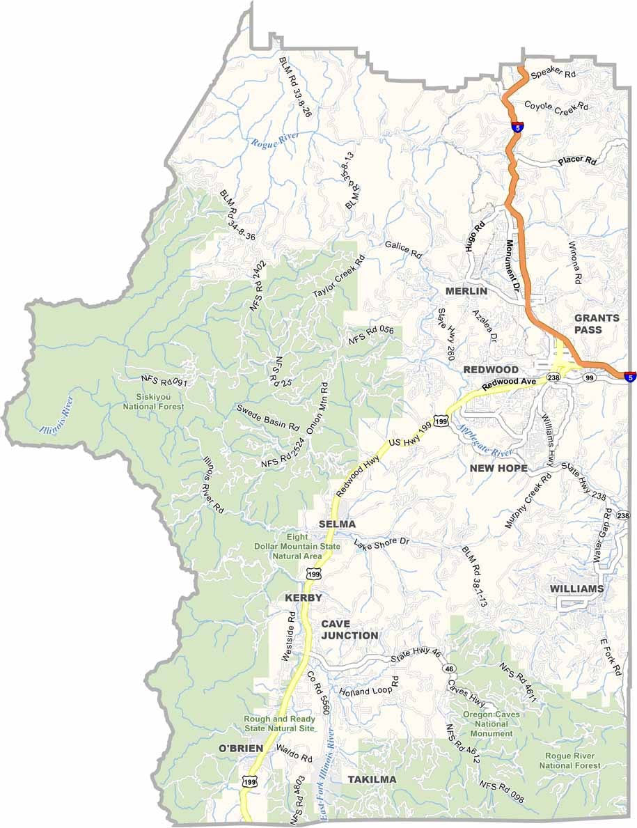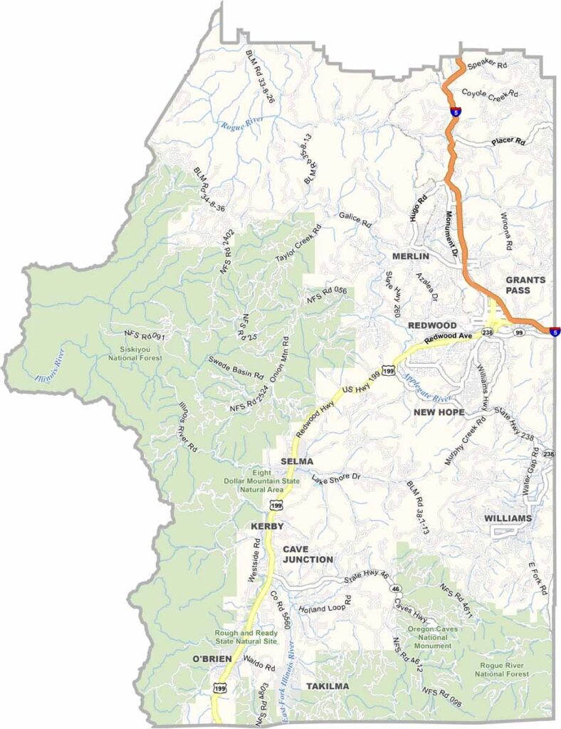
Josephine County Map, Oregon

Josephine County, Oregon

Josephine County lies in southwest Oregon, bordering California. Grants Pass, the largest city and county seat, is a playground for nature lovers and adventure seekers.

Rivers snake through deep canyons that are perfect for whitewater rafting, and the Rogue River is famous for its salmon runs. The Oregon Caves are located right here in the county too.

Mining history runs deep, and gold fever once gripped these hills. Today the county is all about that laid-back Oregon lifestyle, the kind of place where you can lose yourself in nature and find yourself in the process.
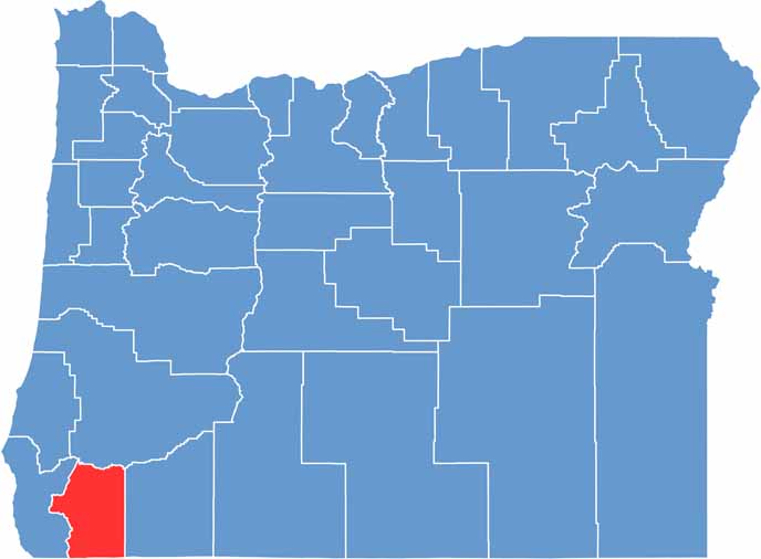

Location map of Josephine County, Oregon
CategoryDetails
County NameJosephine County
County SeatGrants Pass
EtymologyNamed after Virginia “Josephine” Rollins
Cities, Towns, and CommunitiesGrants Pass, Cave Junction, Merlin, Selma, Wolf Creek
Interstates and HighwaysInterstate 5, U.S. Highway 199, U.S. Highway 238
FIPS Code41-033
Total Area (Land and Water)1,642 square miles (1,639 sq mi land, 3 sq mi water)
Adjacent Counties (and Direction)Douglas County (North), Jackson County (East), Siskiyou County, California (South), Del Norte County, California (Southwest), Curry County (West)
Time ZonePacific Time Zone (PST)
StateOregon
Coordinates42°21’N, 123°33’W
Major LandmarksOregon Caves National Monument, Rogue River, Hellgate Canyon, Redwood Highway
PopulationApproximately 89,000
Scroll to Top