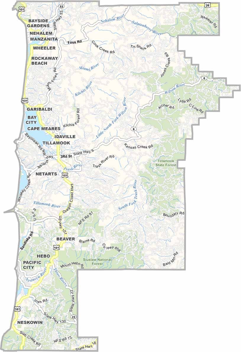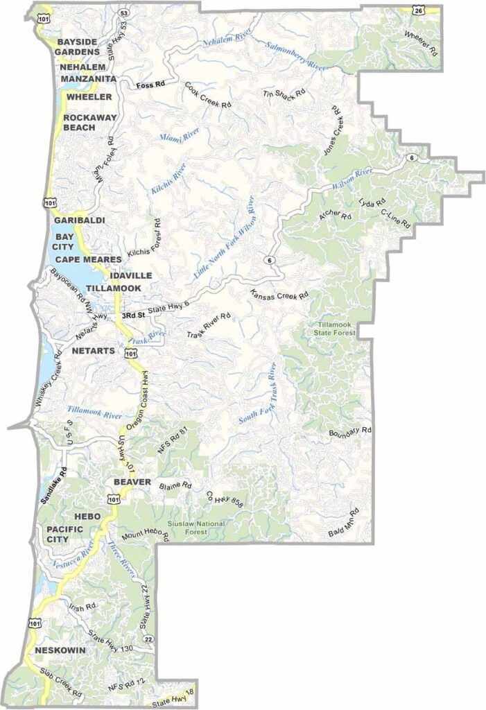
Tillamook County Map, Oregon

Tillamook County, Oregon

Tillamook County hugs the northern coast of Oregon, where forest meets ocean. The county is named after the Tillamook people, and cheese lovers can rejoice, since it is famous for its dairy products, especially its sharp cheddar.

There is more to the county than cheese, though, with killer beaches and old-growth forests to explore. Tillamook State Forest and Siuslaw National Forest cover most of the county.

Cape Lookout juts into the Pacific and offers great whale-watching spots, and fishing is big here, both sport and commercial. The Three Capes Scenic Drive is a must-do road trip. Tillamook is a place of mist-shrouded mountains and crashing waves, pure Oregon coast.
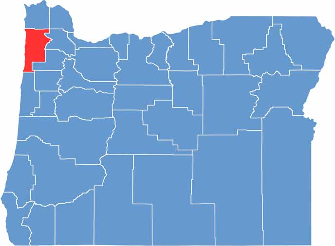

Location map of Tillamook County, Oregon
CategoryDetails
County NameTillamook County
County SeatTillamook
EtymologyNamed after the Tillamook Native American tribe
Cities, Towns, and CommunitiesTillamook, Garibaldi, Rockaway Beach, Manzanita, Bay City, Nehalem, Wheeler
Interstates and HighwaysU.S. Highway 101, State Highway 6, State Highway 131
FIPS Code41-057
Total Area (Land and Water)1,333 square miles (1,103 sq mi land, 230 sq mi water)
Adjacent Counties (and Direction)Clatsop County (North), Washington County (East), Yamhill County (East), Polk County (Southeast), Lincoln County (South)
Time ZonePacific Time Zone (PST)
StateOregon
Coordinates45°27’N, 123°48’W
Major LandmarksCape Meares Lighthouse, Tillamook Cheese Factory, Cape Lookout State Park, Three Capes Scenic Loop
PopulationApproximately 27,000
Scroll to Top