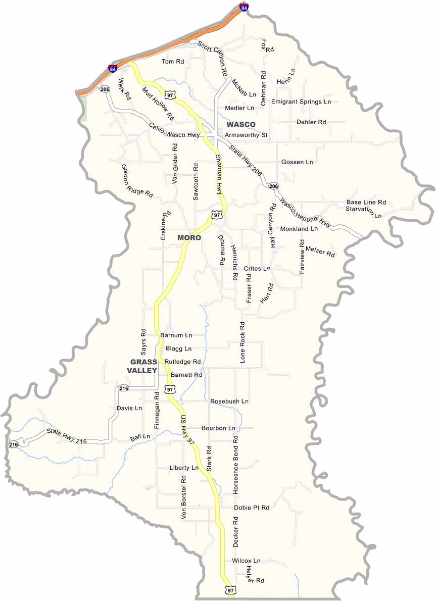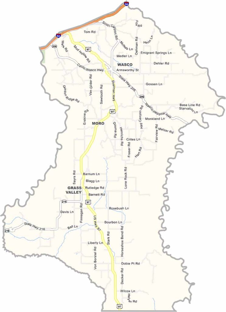
Sherman County Map, Oregon

Sherman County, Oregon

Sherman County lies in north-central Oregon, with the John Day River carving along its eastern edge. Wheat fields and wind turbines are everywhere, turning breezes into green energy.

Moro, the county seat, has barely 300 residents, but what Sherman County lacks in population, it makes up for in charm. Interstate 84 and the Columbia River form its northern border. The county is named after General William Tecumseh Sherman.

Wheat and wind power drive the local economy. Visitors come for the stargazing and solitude, though not necessarily in that order.
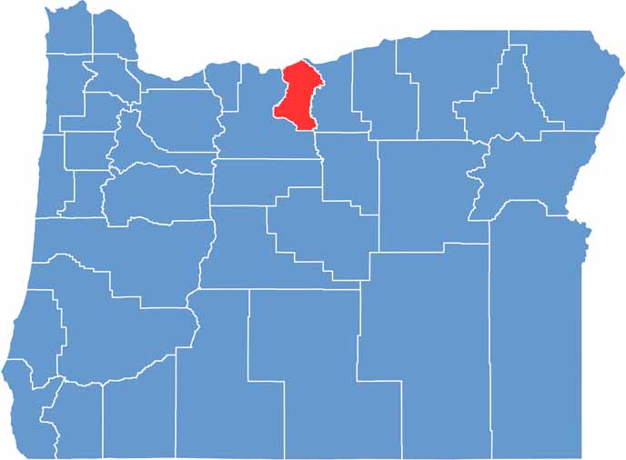

Location map of Sherman County, Oregon
CategoryDetails
County NameSherman County
County SeatMoro
EtymologyNamed after William Tecumseh Sherman
Cities, Towns, and CommunitiesMoro, Wasco, Grass Valley, Rufus
Interstates and HighwaysInterstate 84, U.S. Highway 97, State Highway 206
FIPS Code41-055
Total Area (Land and Water)831 square miles (824 sq mi land, 7 sq mi water)
Adjacent Counties (and Direction)Klickitat County, Washington (North), Gilliam County (East), Wasco County (Southwest)
Time ZonePacific Time Zone (PST)
StateOregon
Coordinates45°25’N, 120°40’W
Major LandmarksJohn Day River, Sherman County Historical Museum, Deschutes River State Recreation Area
PopulationApproximately 1,800
Scroll to Top