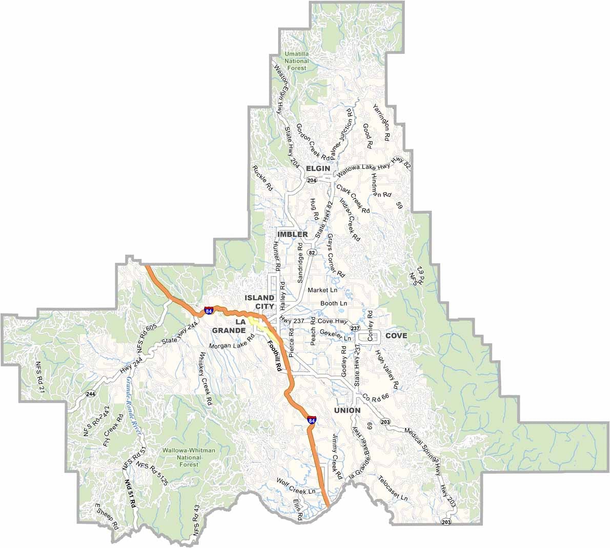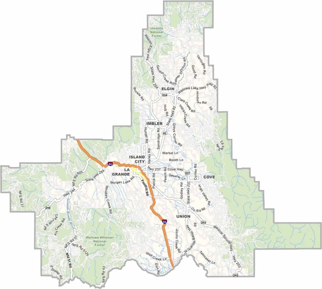
Union County Map, Oregon

Union County, Oregon

Union County sits in the northeast corner of Oregon, a land of the Blue Mountains and sprawling valleys. La Grande, the county seat, is a hub for outdoor-minded folks.

Hiking trails crisscross Catherine Creek State Park, and winters bring deep snow that is perfect for skiing at Anthony Lakes. Summers are hot and dry, and forests surround the populated communities in the heart of the county.

The county's history is tied to the Oregon Trail, and cattle ranching remains a key industry. Be sure to seek out the hot springs too, a local secret.
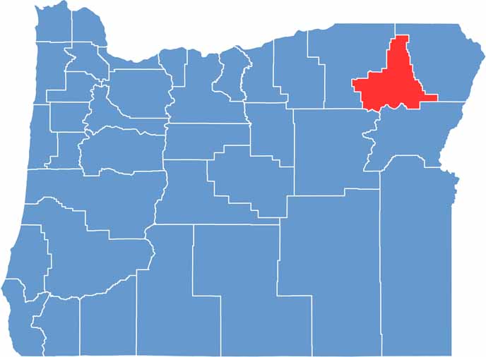

Location map of Union County, Oregon
CategoryDetails
County NameUnion County
County SeatLa Grande
EtymologyNamed for the town of Union, itself named for the Union during the Civil War
Cities, Towns, and CommunitiesLa Grande, Union, Elgin, North Powder, Imbler, Summerville, Cove
Interstates and HighwaysInterstate 84, U.S. Highway 30, State Highway 82
FIPS Code41-061
Total Area (Land and Water)2,039 square miles (2,037 sq mi land, 2 sq mi water)
Adjacent Counties (and Direction)Umatilla County (Northwest), Wallowa County (Northeast), Baker County (Southeast), Grant County (Southwest)
Time ZonePacific Time Zone (PST)
StateOregon
Coordinates45°20’N, 118°00’W
Major LandmarksEagle Cap Wilderness, Anthony Lakes, Wallowa-Whitman National Forest
PopulationApproximately 27,000
Scroll to Top