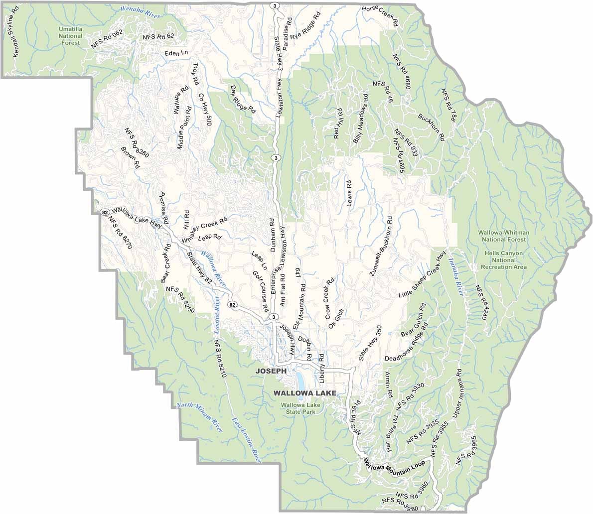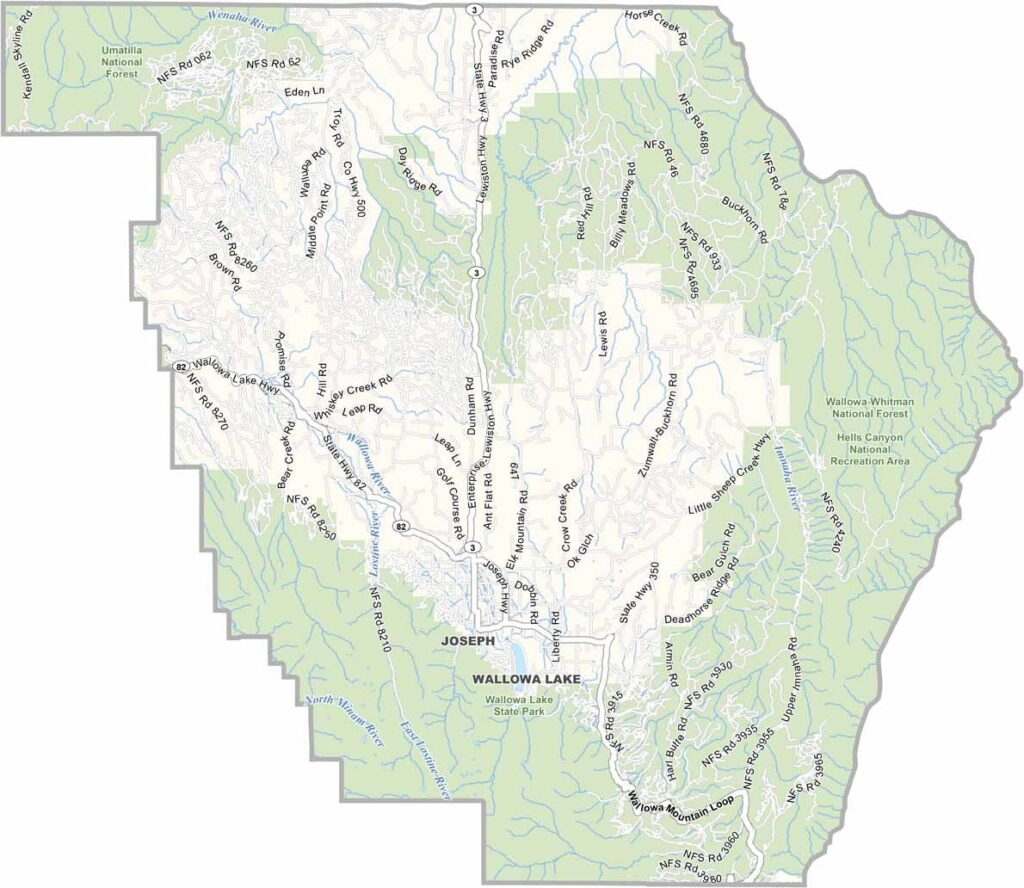
Wallowa County Map, Oregon

Wallowa County, Oregon

Wallowa County lies way out in northeast Oregon, bordering Idaho and Washington. The Wallowa Mountains have earned it the nickname "Swiss Alps of Oregon," and their jagged peaks will take your breath away.

Enterprise is the county seat, while nearby Joseph is a tiny town with a big art scene that is well worth a visit. Hells Canyon, North America's deepest river gorge, runs along the county's eastern edge.

Farmers grow wheat and barley in the valleys, and elk roam free. The Nez Perce called this place home for thousands of years. Wallowa County is remote, wild, and absolutely stunning.
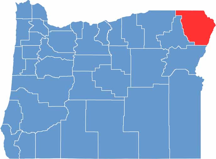

Location map of Wallowa County, Oregon
CategoryDetails
County NameWallowa County
County SeatEnterprise
EtymologyNamed after the Wallowa River
Cities, Towns, and CommunitiesEnterprise, Joseph, Wallowa, Lostine
Interstates and HighwaysState Highway 3, State Highway 82
FIPS Code41-063
Total Area (Land and Water)3,153 square miles (3,146 sq mi land, 7 sq mi water)
Adjacent Counties (and Direction)Columbia County, Washington (Northwest), Garfield County, Washington (North), Asotin County, Washington (Northeast), Nez Perce County, Idaho (Northeast), Idaho County, Idaho (East), Adams County, Idaho (Southeast), Baker County (South), Union County (Southwest), Umatilla County (West)
Time ZonePacific Time Zone (PST)
StateOregon
Coordinates45°34’N, 117°11’W
Major LandmarksWallowa Lake, Hells Canyon National Recreation Area, Eagle Cap Wilderness
PopulationApproximately 7,500
Scroll to Top