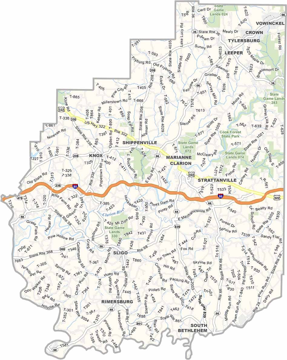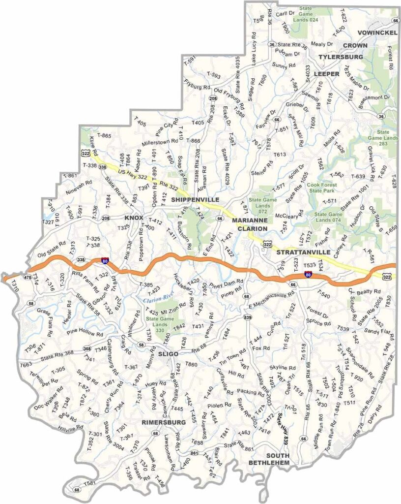
Clarion County Map, Pennsylvania

Clarion County, Pennsylvania

Clarion County sits in western Pennsylvania, roughly midway between Pittsburgh and Erie. Rolling hills and forests make up much of the landscape, and they put on a spectacular show in the fall.

The Clarion River runs through the county and is ideal for kayaking or simply relaxing by the water. Piney Dam is another good spot for fishing and picnics, and locals are fiercely proud of their annual Autumn Leaf Festival.

Clarion University gives parts of the area a college-town feel. Hunting is popular here, especially during deer season, and covered bridges are scattered across the county.
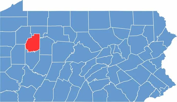

Location map of Clarion County, Pennsylvania
CategoryDetails
County NameClarion County
County SeatClarion
EtymologyNamed after the Clarion River
Cities, Towns, and CommunitiesClarion, Strattanville, New Bethlehem, Knox, Rimersburg, East Brady
Interstates and HighwaysInterstate 80, U.S. Highway 322, State Highway 66, State Highway 68
FIPS Code42-031
Total Area (Land and Water)610 square miles (601 sq mi land, 9 sq mi water)
Adjacent Counties (and Direction)Forest County (North), Jefferson County (East), Armstrong County (South), Butler County (West), Venango County (West)
Time ZoneEastern Time Zone (EST)
StatePennsylvania
Coordinates41°12’N, 79°23’W
Major LandmarksCook Forest State Park, Clarion University, Allegheny River Trail, Foxburg Wine Cellars
PopulationApproximately 37,000
Scroll to Top