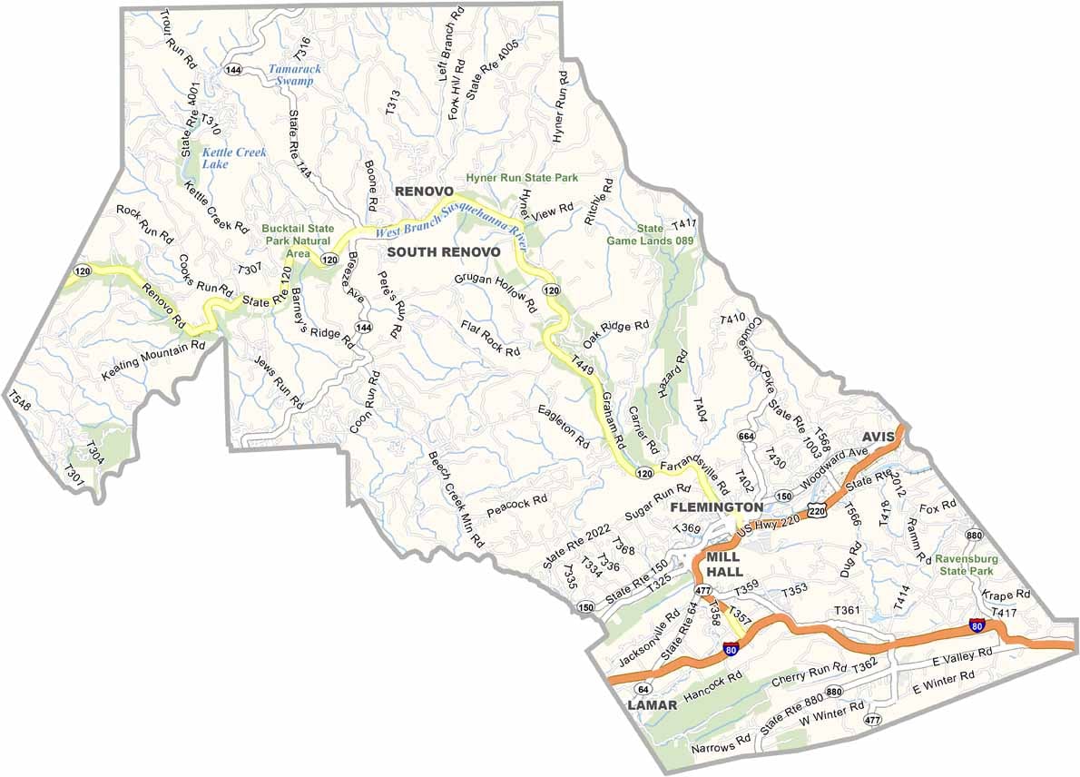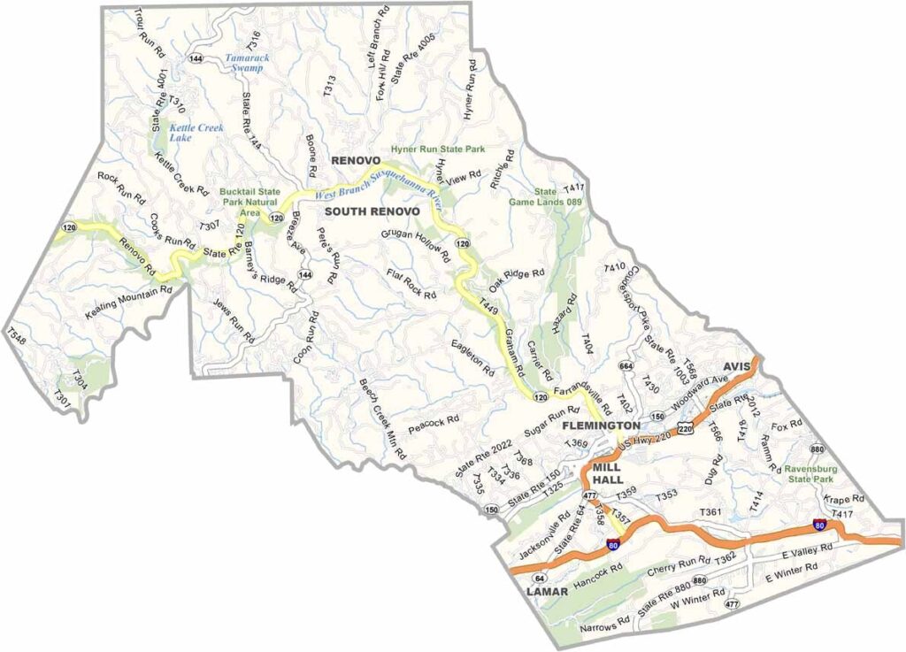
Clinton County Map, Pennsylvania

Clinton County, Pennsylvania

Clinton County sits squarely in the middle of Pennsylvania's northern tier and is a playground for nature lovers. Hyner View and Bucktail State Park offer true wilderness, with knockout views of the river and mountains.

The West Branch Susquehanna River flows through the county and offers some of the best fishing spots around. Lock Haven, the county seat, is home to Lock Haven University, and the small towns are dotted with genuine mom-and-pop shops.

Hunters flock here, especially during elk season, while the Pine Creek Rail Trail is ideal for biking through beautiful scenery. Woolrich, the outdoor clothing company, got its start here, and the county is a place where you can truly unplug and enjoy the quiet.
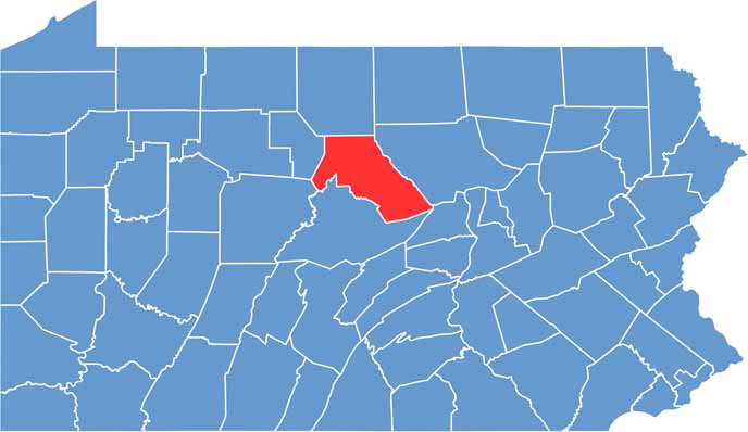

Location map of Clinton County, Pennsylvania
CategoryDetails
County NameClinton County
County SeatLock Haven
EtymologyNamed after DeWitt Clinton, a U.S. Senator and Governor of New York
Cities, Towns, and CommunitiesLock Haven, Mill Hall, Renovo, Flemington, Avis, Castanea
Interstates and HighwaysU.S. Highway 220, State Highway 120, State Highway 664
FIPS Code42-035
Total Area (Land and Water)898 square miles (888 sq mi land, 10 sq mi water)
Adjacent Counties (and Direction)Potter County (North), Lycoming County (East), Union County (Southeast), Centre County (South), Clearfield County (Southwest), Cameron County (West)
Time ZoneEastern Time Zone (EST)
StatePennsylvania
Coordinates41°14’N, 77°36’W
Major LandmarksHyner View State Park, Bald Eagle State Park, Piper Aviation Museum, Lock Haven University
PopulationApproximately 38,000
Scroll to Top