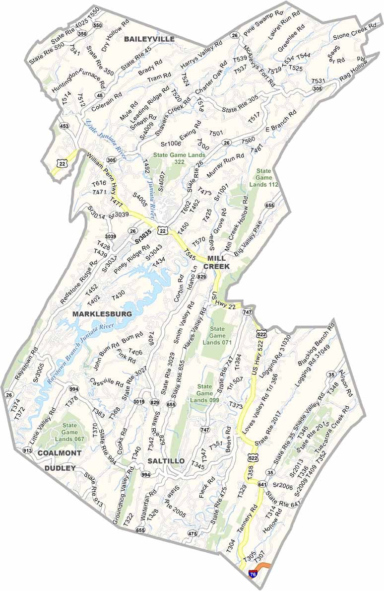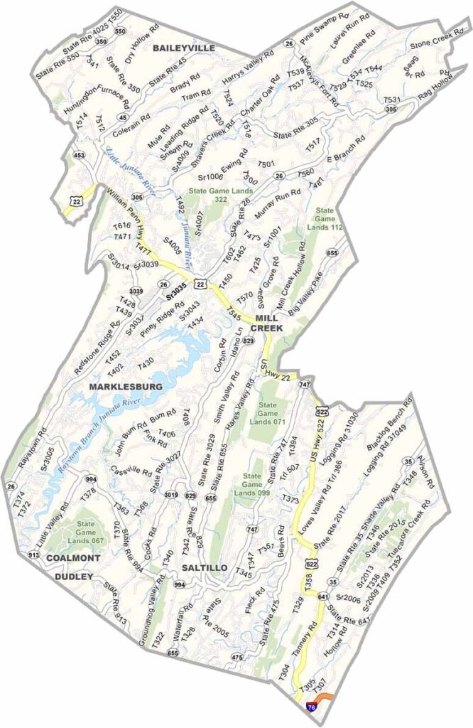
Huntingdon County Map, Pennsylvania

Huntingdon County, Pennsylvania

Huntingdon County sits in the middle of Pennsylvania, where the Appalachian Mountains show off their beauty. Raystown Lake is a major draw, a huge body of water that is perfect for boating and fishing.

The county has a rich history, with old iron furnaces scattered across the landscape. Hikers have plenty to explore, and the Standing Stone Trail offers some outstanding views.

Huntingdon, the county seat, is near Mill Creek and is home to Juniata College. Spelunking fans should also check out Lincoln Caverns.
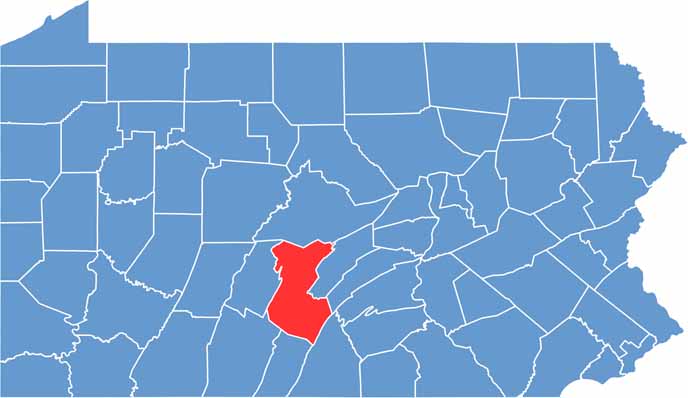

Location map of Huntingdon County, Pennsylvania
CategoryDetails
County NameHuntingdon County
County SeatHuntingdon
EtymologyNamed after the English county of Huntingdon
Cities, Towns, and CommunitiesHuntingdon, Mount Union, Orbisonia, Alexandria, Petersburg
Interstates and HighwaysU.S. Highway 22, U.S. Highway 522, State Highway 26, State Highway 45
FIPS Code42-061
Total Area (Land and Water)889 square miles (875 sq mi land, 14 sq mi water)
Adjacent Counties (and Direction)Centre County (North), Mifflin County (East), Juniata County (East), Franklin County (Southeast), Fulton County (South), Bedford County (Southwest), Blair County (West)
Time ZoneEastern Time Zone (EST)
StatePennsylvania
Coordinates40°24’N, 78°01’W
Major LandmarksRaystown Lake, Lincoln Caverns, Greenwood Furnace State Park, Juniata College
PopulationApproximately 44,000
Scroll to Top