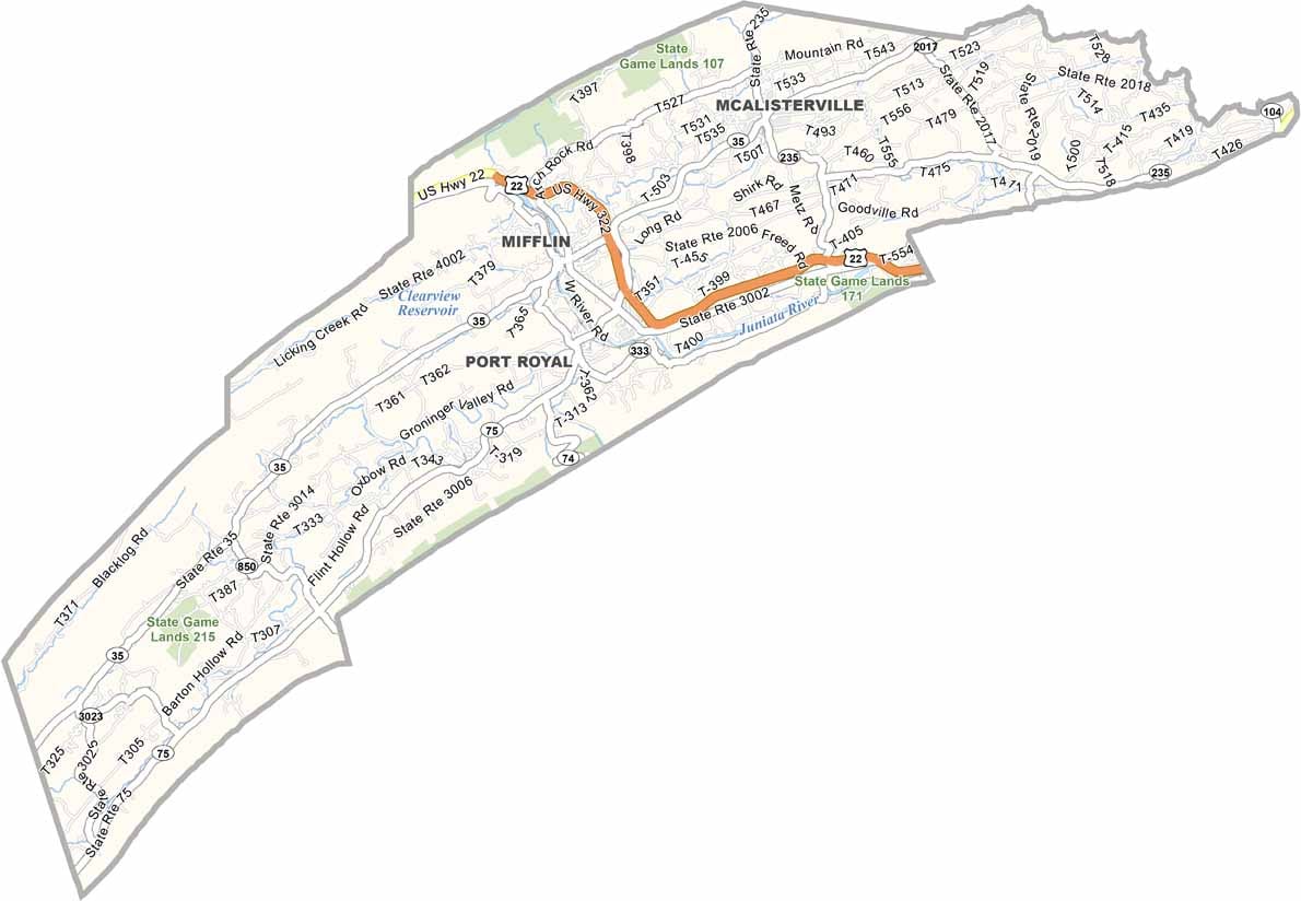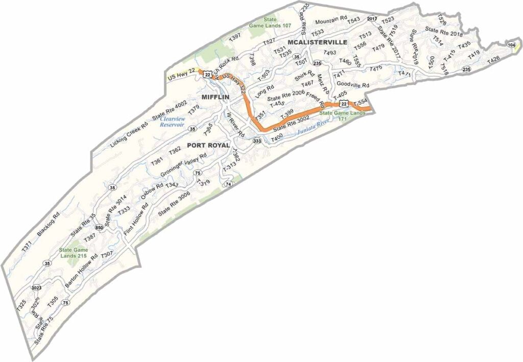
Juniata County Map, Pennsylvania

Juniata County, Pennsylvania

Juniata County sits in central Pennsylvania, surrounded by forested ridges. The Juniata River winds through the county and offers plenty of great spots for fishing and kayaking.

Farms are everywhere, and agriculture is big business here. Tuscarora State Forest covers a small part of the county and is ideal for hiking and camping.

Mifflintown, the county seat, lies along U.S. Highway 22. Port Royal Speedway draws racing fans from far and wide, and the area has an interesting history tied to the Juniata Iron Works.
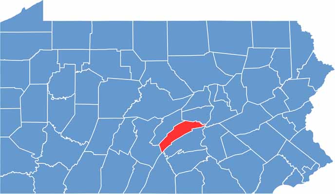

Location map of Juniata County, Pennsylvania
CategoryDetails
County NameJuniata County
County SeatMifflintown
EtymologyNamed after the Juniata River
Cities, Towns, and CommunitiesMifflintown, Thompsontown, Port Royal, McAlisterville, Richfield
Interstates and HighwaysU.S. Highway 22, U.S. Highway 322, State Highway 35
FIPS Code42-067
Total Area (Land and Water)394 square miles (391 sq mi land, 3 sq mi water)
Adjacent Counties (and Direction)Snyder County (North), Northumberland County (Northeast), Mifflin County (Northwest), Perry County (South), Franklin County (South), Dauphin County (Southeast), Huntingdon County (Southwest)
Time ZoneEastern Time Zone (EST)
StatePennsylvania
Coordinates40°31’N, 77°24’W
Major LandmarksButtonwood Campground, Little Buffalo State Park, Juniata County Courthouse
PopulationApproximately 24,000
Scroll to Top